Wyeth, California Weather
No Watches or Warnings for Wyeth
Issued: 12:57 pm PDT Apr 26, 2024 Latitude: 36.5193944 Longitude: -119.2667812 View on Google Maps
|
|
|
|
|
|
|
|
|
|
 |
 |
 |
 |
|
|
|
|
| High: °F |
Low: °F |
High: °F |
High: °F |
High: °F |
High: °F |
High: °F |
High: °F |
| Low: °F |
Low: °F |
Low: °F |
Low: °F |
Low: °F |
|
| Thunderstorms |
Thunderstorms |
Partly Sunny |
Sunny |
Sunny |
Sunny |
Sunny |
Sunny |
Current Conditions at
VISALIA - (KVIS)
66°
Mostly Cloudy
as of 12:56 PM PDST
Rel. Humidity: 52%
Dew Point: 48°F
Visibility: 10 Miles
Pressure: 29.99 in.
Flight Rule: VFR
Wind Data
12 MPH
320° Northwest
Cloud Level(s): Broken at 6000ft, Broken at 9500ft
Current Conditions at
HANFORD - (KHJO)
70°
Mostly Cloudy
as of 12:53 PM PDST
Rel. Humidity: 43%
Dew Point: 46°F
Visibility: 10 Miles
Pressure: 29.98 in.
Flight Rule: VFR
Wind Data
8 MPH
330° Northwest
Cloud Level(s): Few at 4600ft, Broken at 7500ft
Current Conditions at
FRESNO - (KFAT)
70°
Mostly Cloudy
as of 12:53 PM PDST
Rel. Humidity: 43%
Dew Point: 46°F
Visibility: 10 Miles
Pressure: 29.97 in.
Flight Rule: VFR
Wind Data
13 MPH
330° Northwest
Cloud Level(s): Scattered at 4100ft, Broken at 6000ft, Broken at 8000ft
Current Conditions at
PORTERVILLE - (KPTV)
61°
Cloudy
as of 12:56 PM PDST
Rel. Humidity: 63%
Dew Point: 48°F
Visibility: 10 Miles
Pressure: 30.01 in.
Flight Rule: VFR
Wind Data
5 MPH
210° Southwest
Cloud Level(s): Scattered at 3400ft, Solid Overcast at 4600ft
|
This Afternoon... Showers likely and possibly a thunderstorm. Partly sunny, with a high near 66. Northwest wind around 10 mph, with gusts as high as 15 mph. Chance of precipitation is 60%. New rainfall amounts of less than a tenth of an inch, except higher amounts possible in thunderstorms. |
|
|
Tonight... A chance of showers and thunderstorms before 8pm, then a chance of showers between 8pm and 11pm. Mostly cloudy, with a low around 49. Northwest wind 5 to 10 mph becoming light west northwest after midnight. Winds could gust as high as 15 mph. Chance of precipitation is 30%. |
|
|
Saturday... Partly sunny, then gradually becoming sunny, with a high near 70. Calm wind becoming northwest around 5 mph in the morning. |
|
 |
Saturday Night... Mostly clear, with a low around 50. North northwest wind 5 to 10 mph becoming light north in the evening. |
|
|
Sunday... Sunny, with a high near 76. Calm wind becoming west northwest around 5 mph in the afternoon. |
|
 |
Sunday Night... Clear, with a low around 51. North northwest wind 5 to 10 mph. |
|
|
Monday... Sunny, with a high near 76. North northwest wind 5 to 10 mph becoming west in the morning. |
|
|
Monday Night... Clear, with a low around 53. Northwest wind 5 to 10 mph becoming north northeast in the evening. Winds could gust as high as 15 mph. |
|
|
Tuesday... Sunny, with a high near 80. Southeast wind 5 to 10 mph becoming west southwest in the morning. |
|
|
Tuesday Night... Clear, with a low around 54. Northwest wind 5 to 10 mph becoming north northeast in the evening. Winds could gust as high as 15 mph. |
|
|
Wednesday... Sunny, with a high near 83. Southeast wind 5 to 10 mph becoming west southwest in the morning. |
|
|
Wednesday Night... Clear, with a low around 56. Northwest wind 5 to 10 mph becoming north northeast in the evening. |
|
|
Thursday... Sunny, with a high near 83. West wind 5 to 10 mph. |
|
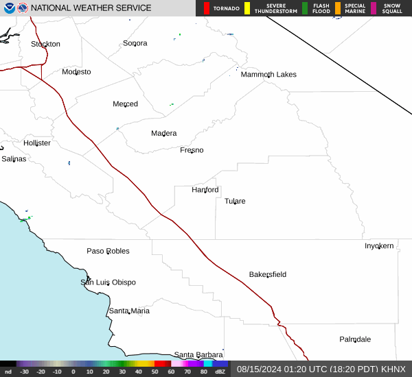
Current Radar Image
Sun Almanac for Wyeth, California
Sunrise: 06:08 AM
Sunset: 7:41 PM
Civil Sunrise:05:41 AM
Civil Sunset: 8:09 PM
Nautical Sunrise: 05:08 AM
Nautical Sunset: 8:42 PM
Astro Sunrise: 04:33 AM
Astro Sunset: 9:16 PM
California's Current Temperatures
 California's Satellite Image
 California's Current Wind Direction
| National Summary |
of upper and lower values of current conditions amongst 7055 locations
in the contiguous United States |
|
High
Temp |
93° |
Junction, Texas
and 2 other locations
|
|
Low
Temp |
27° |
Berthoud Pass, Colorado
|
|
Wind
Speed |
46mph |
Mojave, California
|
|
Wind
Gust |
63mph |
Mojave, California
|
|
Wind
Chill |
17° |
Salida Mountain, Colorado
|
|
Heat
Index |
111° |
Clarksdale/Fletcher, Mississippi
|
|
High
Pressure |
30.50Hg |
Westhampton Beach, New York
|
|
Low
Pressure |
29.28Hg |
Aurora, Nebraska
|
|
| # Locations Reporting Snow |
1 |
|
| # Locations Reporting Rain |
200 |
|
| # Locations Reporting Thunderstorms / Lightning |
12 |
|
| Average Temperature in the Contiguous USA |
66° |
|
Any use of the information on this page is at your own risk. This information should not be relied upon in life-threatening situations, potential financial loss situations or in lieu of any officially disseminated information. Visit the
National Weather Service for official information.