Whitcomb, Montana Weather
Current Conditions at
HAVRE - (KHVR)
57°
Cloudy
as of 5:53 PM MDST
Rel. Humidity: 28%
Dew Point: 25°F
Visibility: 10 Miles
Pressure: 30.21 in.
Flight Rule: VFR
Wind Data
12 MPH
340° North
Cloud Level(s): Solid Overcast at 10000ft
Current Conditions at
LEWISTOWN - (KLWT)
52°
Cloudy
as of 5:54 PM MDST
Rel. Humidity: 34%
Dew Point: 25°F
Visibility: 10 Miles
Pressure: 30.25 in.
Flight Rule: VFR
Wind Data
12 MPH
Gust: 23 MPH
300° Northwest
Cloud Level(s): Broken at 6500ft, Solid Overcast at 8000ft
Current Conditions at
JORDAN - (KJDN)
55°
Cloudy
as of 5:48 PM MDST
Rel. Humidity: 37%
Dew Point: 30°F
Pressure: 30.20 in.
Wind Data
10 MPH
340° North
Current Conditions at
GLASGOW - (KGGW)
54°
Mostly Cloudy
as of 6:16 PM MDST
Rel. Humidity: 37%
Dew Point: 28°F
Visibility: 10 Miles
Pressure: 30.19 in.
Flight Rule: VFR
Cloud Level(s): Few at 6000ft, Scattered at 9000ft, Broken at 11000ft
Moon Almanac for Whitcomb, Montana
Moon Phase: Waning Gibbous
Moon Illumination: 92%
Moon Age: 17.5 Days
Moon is currently below the horizon
Distance from Moon to Earth: 250,760 miles
Upcoming Lunar Events for
Whitcomb: |
| Next Event | Event Time | Illum |
|
|
|
| Moonrise: | 01:20 am Sun | 90.7% |
| High Moon: | 05:37 am Sun | 89.7% |
| Moonset: | 09:46 am Sun | 88.7% |
 | New Moon: Wed Mar 18 |
 | First Quarter: Wed Mar 25 |
 | Full Moon: Wed Apr 1 |
 | Last Quarter: Fri Apr 10 |
| New Moon: Fri Apr 17 |
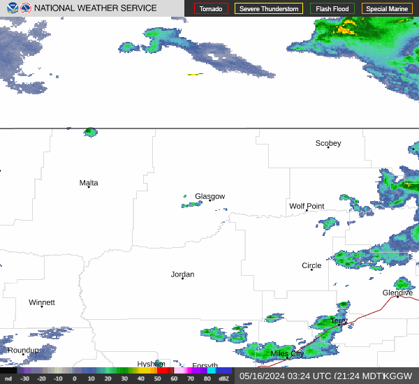
Current Radar Image
| Montana State Summary |
of upper and lower values of current conditions amongst 42 locations
in Montana |
|
|
|
|
|
|
|
Wind
Gust |
28mph |
Charlie
and 2 other locations
|
|
|
|
High
Pressure |
30.34Hg |
Ennis Big Sky
|
|
Low
Pressure |
30.17Hg |
Scobey
|
|
| Average temperature in Montana |
55° |
|
# Locations Reporting VFR
(Visual Flight Rules) |
42 |
|
Montana's Current Temperatures
 Montana's Satellite Image
 Montana's Current Wind Direction
| National Summary |
of upper and lower values of current conditions amongst 6209 locations
in the contiguous United States |
|
High
Temp |
91° |
Corona Municipal A/P, California
|
|
Low
Temp |
19° |
Fosston, Minnesota
|
|
Wind
Speed |
32mph |
St James, Minnesota
|
|
Wind
Gust |
46mph |
Whitefield, New Hampshire
|
|
Wind
Chill |
13° |
Grand Marais, Minnesota
|
|
Heat
Index |
92° |
Mcallen, Texas
|
|
High
Pressure |
30.56Hg |
Salida Mountain, Colorado
|
|
Low
Pressure |
29.63Hg |
Newberry, Michigan
and 1 other location
|
|
| # Locations Reporting Snow |
42 |
|
| # Locations Reporting Rain |
123 |
|
| # Locations Reporting Thunderstorms / Lightning |
5 |
|
| # Locations Reporting Fog |
2 |
|
| Average Temperature in the Contiguous USA |
60° |
|
Any use of the information on this page is at your own risk. This information should not be relied upon in life-threatening situations, potential financial loss situations or in lieu of any officially disseminated information. Visit the
National Weather Service for official information.