Walton, Florida Weather
your sport, your way
Air Sports Net on FacebookAir Sports Net on Google +Air Sports Net on TwitterReceive RSS UpdatesReceive Email Updates

Change location by the zip code or city,state: or search for other weather forecast locations in Florida by name.
Weather Forecast for Walton, Florida : St. Lucie County
Issued: 4:39 pm EDT May 5, 2024 Latitude: 27.3000443 Longitude: -80.2561594 View on Google Maps

MouseOver for Detail Forecast
This Afternoon Tonight Monday Tuesday Wednesday Thursday Friday Saturday
10% chance of rain on This Afternoon 10% chance of rain on Tonight Mostly Sunny on Monday 20% chance of thunderstorms on Tuesday Sunny on Wednesday Sunny on Thursday Sunny on Friday 40% chance of thunderstorms on Saturday
High: 82°F Low: 73°F High: 81°F High: 82°F High: 85°F High: 86°F High: 90°F High: 87°F
Low: 72°F Low: 73°F Low: 73°F Low: 74°F Low: 75°F  
Rain Rain Mostly Sunny Thunderstorms Sunny Sunny Sunny Thunderstorms
-
Current Conditions at
FORT PIERCE - (KFPR)
84°
Clear
as of 3:53 PM EDST
Rel. Humidity: 51%
Dew Point: 64°F
Visibility: 10 Miles
Pressure: 30.03 in.
Flight Rule: VFR
Wind Data
16 MPH
Gust: 26 MPH
140° Southeast
Cloud Level(s): Clear
Current Conditions at
VERO BEACH - (KVRB)
84°
Clear
as of 3:53 PM EDST
Rel. Humidity: 54%
Dew Point: 66°F
Visibility: 8 Miles
Pressure: 30.03 in.
Flight Rule: VFR
Wind Data
18 MPH
Gust: 29 MPH
120° Southeast
Cloud Level(s): Clear
Current Conditions at
WEST PALM BEACH - (KPBI)
84°
Partly Cloudy
as of 3:53 PM EDST
Rel. Humidity: 58%
Dew Point: 68°F
Visibility: 10 Miles
Pressure: 30.04 in.
Flight Rule: VFR
Wind Data
17 MPH
Gust: 26 MPH
100° East
Cloud Level(s): Scattered at 3000ft
Current Conditions at
MELBOURNE - (KMLB)
82°
Clear
as of 3:53 PM EDST
Rel. Humidity: 61%
Dew Point: 68°F
Visibility: 10 Miles
Pressure: 30.02 in.
Flight Rule: VFR
Wind Data
15 MPH
130° Southeast
Cloud Level(s): Clear
10% chance of rain This Afternoon 
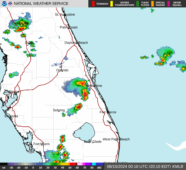
This Afternoon... A 10 percent chance of showers after 5pm. Sunny, with a high near 82. East southeast wind around 15 mph, with gusts as high as 20 mph.

10% chance of rain Tonight Tonight... A 10 percent chance of showers before 8pm. Partly cloudy, with a low around 73. East southeast wind 10 to 15 mph.

Mostly Sunny on Monday Monday... Mostly sunny, with a high near 81. East southeast wind 10 to 15 mph.

Cloudy on Monday Night Monday Night... Partly cloudy, with a low around 72. East southeast wind 5 to 10 mph.

20% chance of thunderstorms Tuesday Tuesday... A 20 percent chance of showers and thunderstorms after 2pm. Sunny, with a high near 82. Light south southeast wind becoming east southeast 5 to 10 mph in the morning.

Mostly Clear on Tuesday Night Tuesday Night... Mostly clear, with a low around 73. South wind around 10 mph.

Sunny on Wednesday Wednesday... Sunny, with a high near 85. South southwest wind 5 to 15 mph becoming east southeast in the afternoon.

Clear on Wednesday Night Wednesday Night... Clear, with a low around 73. Southeast wind 10 to 15 mph, with gusts as high as 20 mph.

Sunny on Thursday Thursday... Sunny, with a high near 86. Southeast wind 10 to 15 mph, with gusts as high as 20 mph.

Mostly Clear on Thursday Night Thursday Night... Mostly clear, with a low around 74. South wind 10 to 15 mph, with gusts as high as 20 mph.

Sunny on Friday Friday... Sunny, with a high near 90. South southwest wind 10 to 15 mph, with gusts as high as 20 mph.

Mostly Clear on Friday Night Friday Night... Mostly clear, with a low around 75. West southwest wind around 15 mph, with gusts as high as 20 mph.

40% chance of thunderstorms Saturday Saturday... A 40 percent chance of showers and thunderstorms. Mostly sunny, with a high near 87. West southwest wind 10 to 15 mph becoming northwest in the afternoon. Winds could gust as high as 20 mph.

Current Radar Image


Sun Almanac for Walton, Florida
Sunrise: 06:38 AM
Sunset: 7:57 PM
Civil Sunrise:06:14 AM
Civil Sunset: 8:22 PM
Nautical Sunrise: 05:44 AM
Nautical Sunset: 8:51 PM
Astro Sunrise: 05:13 AM
Astro Sunset: 9:22 PM
Any use of the information on this page is at your own risk. This information should not be relied upon in life-threatening situations, potential financial loss situations or in lieu of any officially disseminated information. Visit the National Weather Service for official information.