Ultra, California Weather
No Watches or Warnings for Ultra
Issued: 3:57 am PDT Apr 26, 2024 Latitude: 35.9641195 Longitude: -118.9984336 View on Google Maps
|
|
|
|
|
|
|
|
|
|
 |
 |
 |
 |
|
|
|
|
| Low: °F |
High: °F |
High: °F |
High: °F |
High: °F |
High: °F |
High: °F |
High: °F |
| Low: °F |
Low: °F |
Low: °F |
Low: °F |
Low: °F |
Low: °F |
|
| Mostly Cloudy |
Thunderstorms |
Clearing |
Sunny |
Sunny |
Sunny |
Sunny |
Sunny |
Current Conditions at
PORTERVILLE - (KPTV)
55°
Cloudy
Light Rain
as of 3:56 AM PDST
Rel. Humidity: 71%
Dew Point: 46°F
Visibility: 10 Miles
Pressure: 30.00 in.
Flight Rule: VFR
Wind Data
8 MPH
330° Northwest
Cloud Level(s): Few at 5000ft, Broken at 6000ft, Solid Overcast at 8000ft
Current Conditions at
VISALIA - (KVIS)
57°
Cloudy
as of 3:56 AM PDST
Rel. Humidity: 67%
Dew Point: 46°F
Visibility: 10 Miles
Pressure: 30.00 in.
Flight Rule: VFR
Wind Data
8 MPH
320° Northwest
Cloud Level(s): Solid Overcast at 8000ft
Current Conditions at
BAKERSFIELD - (KBFL)
57°
Cloudy
as of 3:54 AM PDST
Rel. Humidity: 67%
Dew Point: 46°F
Visibility: 10 Miles
Pressure: 29.99 in.
Flight Rule: VFR
Wind Data
9 MPH
320° Northwest
Cloud Level(s): Broken at 4600ft, Solid Overcast at 5500ft
Current Conditions at
HANFORD - (KHJO)
57°
Cloudy
as of 3:53 AM PDST
Rel. Humidity: 71%
Dew Point: 48°F
Visibility: 10 Miles
Pressure: 30.00 in.
Flight Rule: VFR
Wind Data
12 MPH
310° Northwest
Cloud Level(s): Solid Overcast at 8000ft
|
Overnight... Mostly cloudy, with a steady temperature around 55. West northwest wind around 10 mph. |
|
|
Friday... A chance of rain before 11am, then a chance of showers and thunderstorms after 11am. Mostly cloudy, with a high near 66. Northwest wind 10 to 15 mph, with gusts as high as 20 mph. Chance of precipitation is 50%. New rainfall amounts of less than a tenth of an inch, except higher amounts possible in thunderstorms. |
|
 |
Friday Night... A chance of rain and thunderstorms before 11pm, then a slight chance of rain between 11pm and 2am. Mostly cloudy, with a low around 50. Northwest wind 5 to 15 mph. Chance of precipitation is 30%. |
|
|
Saturday... Cloudy through mid morning, then gradual clearing, with a high near 70. Calm wind becoming northwest around 5 mph in the afternoon. |
|
 |
Saturday Night... Mostly clear, with a low around 49. North northwest wind 5 to 10 mph becoming light and variable in the evening. |
|
|
Sunday... Sunny, with a high near 76. Calm wind becoming west northwest around 5 mph in the afternoon. |
|
|
Sunday Night... Mostly clear, with a low around 51. North wind 5 to 10 mph, with gusts as high as 15 mph. |
|
|
Monday... Sunny, with a high near 78. Southwest wind 5 to 10 mph becoming northwest in the afternoon. |
|
 |
Monday Night... Clear, with a low around 54. Northwest wind 5 to 10 mph becoming east northeast in the evening. |
|
|
Tuesday... Sunny, with a high near 82. South wind 5 to 10 mph becoming west in the morning. |
|
|
Tuesday Night... Clear, with a low around 56. North northwest wind 5 to 10 mph becoming east northeast in the evening. |
|
|
Wednesday... Sunny, with a high near 85. South wind 5 to 10 mph becoming west in the morning. |
|
|
Wednesday Night... Clear, with a low around 56. North northwest wind around 5 mph becoming east northeast in the evening. |
|
|
Thursday... Sunny, with a high near 83. South wind 5 to 10 mph becoming west in the morning. |
|
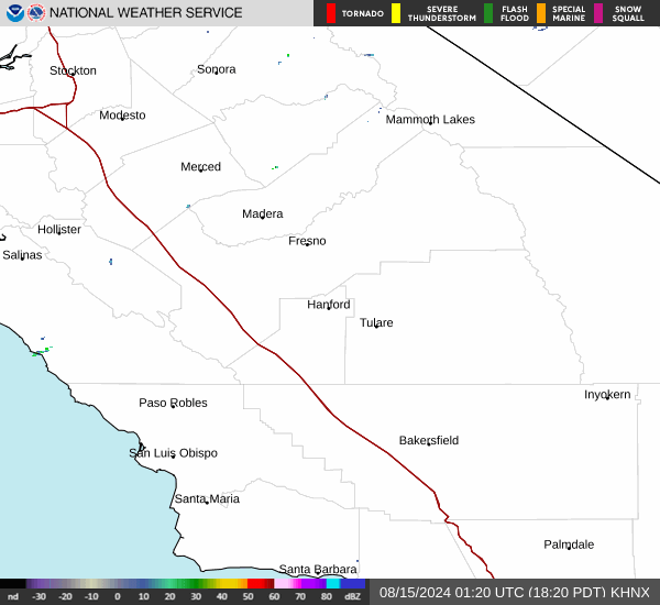
Current Radar Image
Sun Almanac for Ultra, California
Sunrise: 06:08 AM
Sunset: 7:39 PM
Civil Sunrise:05:41 AM
Civil Sunset: 8:06 PM
Nautical Sunrise: 05:08 AM
Nautical Sunset: 8:39 PM
Astro Sunrise: 04:34 AM
Astro Sunset: 9:13 PM
California's Current Temperatures
 California's Satellite Image
 California's Current Wind Direction
| National Summary |
of upper and lower values of current conditions amongst 7139 locations
in the contiguous United States |
|
High
Temp |
79° |
Brownsville, Texas
and 3 other locations
|
|
Low
Temp |
1° |
Imperial Beach NAS, California
|
|
Wind
Speed |
40mph |
Berthoud Pass, Colorado
|
|
Wind
Gust |
54mph |
Berthoud Pass, Colorado
and 1 other location
|
|
Wind
Chill |
-16° |
Imperial BeachNAS, California
|
|
High
Pressure |
30.51Hg |
Franklin Cnty Airpor, Vermont
and 3 other locations
|
|
Low
Pressure |
29.36Hg |
Hill City, Kansas
|
|
| # Locations Reporting Snow |
7 |
|
| # Locations Reporting Rain |
151 |
|
| # Locations Reporting Thunderstorms / Lightning |
13 |
|
| # Locations Reporting Fog |
29 |
|
| Average Temperature in the Contiguous USA |
51° |
|
Any use of the information on this page is at your own risk. This information should not be relied upon in life-threatening situations, potential financial loss situations or in lieu of any officially disseminated information. Visit the
National Weather Service for official information.