Sargent, Nebraska Weather
Issued: 6:15 pm CDT Apr 26, 2024 Latitude: 41.640562 Longitude: -99.3712162 View on Google Maps
|
|
|
|
|
|
|
|
|
|
 |
 |
 |
 |
|
 |
|
|
| Low: °F |
High: °F |
High: °F |
High: °F |
High: °F |
High: °F |
High: °F |
High: °F |
| Low: °F |
Low: °F |
Low: °F |
Low: °F |
Low: °F |
Low: °F |
|
| Thunderstorms |
Rain |
Thunderstorms |
Sunny |
Sunny |
Rain |
Rain |
Rain |
Current Conditions at
BROKEN BOW - (KBBW)
59°
Mostly Cloudy
Light Rain
as of 7:53 PM CDST
Rel. Humidity: 77%
Dew Point: 52°F
Visibility: 10 Miles
Pressure: 29.43 in.
Flight Rule: VFR
Cloud Level(s): Scattered at 3500ft, Scattered at 5000ft, Broken at 9000ft
Current Conditions at
ORD - (KODX)
57°
Cloudy
as of 7:53 PM CDST
Rel. Humidity: 93%
Dew Point: 55°F
Visibility: 10 Miles
Pressure: 29.38 in.
Flight Rule: VFR
Cloud Level(s): Broken at 3300ft, Solid Overcast at 5000ft
Current Conditions at
LEXINGTON - (KLXN)
61°
Mostly Cloudy
as of 8:15 PM CDST
Rel. Humidity: 82%
Dew Point: 55°F
Visibility: 10 Miles
Pressure: 29.49 in.
Flight Rule: VFR
Wind Data
12 MPH
300° Northwest
Cloud Level(s): Scattered at 4300ft, Broken at 4900ft, Broken at 6000ft
Current Conditions at
THEDFORD - (KTIF)
55°
Mostly Cloudy
as of 8:15 PM CDST
Rel. Humidity: 82%
Dew Point: 50°F
Visibility: 10 Miles
Pressure: 29.49 in.
Flight Rule: VFR
Wind Data
10 MPH
Gust: 18 MPH
350° North
Cloud Level(s): Scattered at 2300ft, Scattered at 2800ft, Broken at 4200ft
|
Tonight... A 20 percent chance of showers and thunderstorms before 9pm. Mostly cloudy, with a low around 44. Breezy, with a west northwest wind 15 to 20 mph, with gusts as high as 25 mph. |
|
|
Saturday... A 10 percent chance of showers after 5pm. Mostly cloudy, with a high near 62. Northwest wind 10 to 15 mph becoming northeast in the afternoon. Winds could gust as high as 25 mph. |
|
 |
Saturday Night... A chance of showers and thunderstorms, then showers and possibly a thunderstorm after 7pm. Low around 44. Breezy, with a northeast wind 15 to 20 mph, with gusts as high as 30 mph. Chance of precipitation is 100%. |
|
|
Sunday... Showers and possibly a thunderstorm. High near 55. Breezy, with a north wind 15 to 20 mph, with gusts as high as 25 mph. Chance of precipitation is 80%. |
|
 |
Sunday Night... A 20 percent chance of showers before 1am. Mostly cloudy, with a low around 34. Northwest wind 10 to 15 mph, with gusts as high as 25 mph. |
|
|
Monday... Sunny, with a high near 71. |
|
 |
Monday Night... A 20 percent chance of showers after 1am. Mostly clear, with a low around 48. |
|
|
Tuesday... Sunny, with a high near 73. |
|
|
Tuesday Night... A chance of showers, mainly after 1am. Mostly clear, with a low around 43. |
|
|
Wednesday... A slight chance of showers after 1pm. Mostly sunny, with a high near 69. |
|
 |
Wednesday Night... A chance of showers and thunderstorms. Partly cloudy, with a low around 42. |
|
|
Thursday... A slight chance of showers. Mostly sunny, with a high near 68. Breezy. |
|
|
Thursday Night... A chance of showers. Partly cloudy, with a low around 40. |
|
|
Friday... A slight chance of showers. Mostly sunny, with a high near 70. |
|
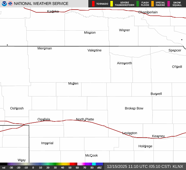
Current Radar Image
Sun Almanac for Sargent, Nebraska
Sunrise: 06:40 AM
Sunset: 8:31 PM
Civil Sunrise:06:10 AM
Civil Sunset: 9:00 PM
Nautical Sunrise: 05:34 AM
Nautical Sunset: 9:37 PM
Astro Sunrise: 04:54 AM
Astro Sunset: 10:16 PM
Nebraska's Current Temperatures
 Nebraska's Satellite Image
 Nebraska's Current Wind Direction
| National Summary |
of upper and lower values of current conditions amongst 6885 locations
in the contiguous United States |
|
High
Temp |
93° |
Del Rio, Texas
|
|
Low
Temp |
27° |
Salida Mountain, Colorado
and 2 other locations
|
|
Wind
Speed |
35mph |
29 Palms, California
and 3 other locations
|
|
Wind
Gust |
54mph |
29 Palms, California
|
|
Wind
Chill |
12° |
Pagosa Springs, Colorado
|
|
High
Pressure |
30.51Hg |
Nantucket, Massachusetts
|
|
Low
Pressure |
29.29Hg |
Maurice, Iowa
|
|
| # Locations Reporting Snow |
6 |
|
| # Locations Reporting Rain |
172 |
|
| # Locations Reporting Thunderstorms / Lightning |
10 |
|
| # Locations Reporting Fog |
1 |
|
| Average Temperature in the Contiguous USA |
61° |
|
Any use of the information on this page is at your own risk. This information should not be relied upon in life-threatening situations, potential financial loss situations or in lieu of any officially disseminated information. Visit the
National Weather Service for official information.