No Watches or Warnings for Sargent
Issued: 9:45 pm EDT May 1, 2024 Latitude: 30.5741122 Longitude: -82.4292908 View on Google Maps
|
|
|
|
|
|
|
|
|
|
 |
 |
 |
 |
 |
 |
|
|
| Low: °F |
High: °F |
High: °F |
High: °F |
High: °F |
High: °F |
High: °F |
High: °F |
| Low: °F |
Low: °F |
Low: °F |
Low: °F |
Low: °F |
Low: °F |
|
| Morning Fog |
Thunderstorms |
Rain |
Thunderstorms |
Thunderstorms |
Sunny |
Sunny |
Sunny |
Current Conditions at
JACKSONVILLE CECIL FLD - (KVQQ)
77°
Mostly Cloudy
as of 8:50 PM EDST
Rel. Humidity: 69%
Dew Point: 66°F
Visibility: 10 Miles
Pressure: 29.94 in.
Flight Rule: VFR
Wind Data
7 MPH
140° Southeast
Cloud Level(s): Broken at 6000ft
Current Conditions at
JACKSONVILLE INTL - (KJAX)
75°
Mostly Cloudy
as of 8:56 PM EDST
Rel. Humidity: 73%
Dew Point: 66°F
Visibility: 10 Miles
Pressure: 29.94 in.
Flight Rule: VFR
Cloud Level(s): Few at 6000ft, Broken at 12000ft
Current Conditions at
WAYCROSS - (KAYS)
77°
Clear
as of 9:35 PM EDST
Rel. Humidity: 78%
Dew Point: 70°F
Visibility: 10 Miles
Pressure: 29.95 in.
Flight Rule: VFR
Cloud Level(s): Clear
Current Conditions at
VALDOSTA - (KVLD)
75°
Clear
as of 8:53 PM EDST
Rel. Humidity: 73%
Dew Point: 66°F
Visibility: 10 Miles
Pressure: 29.93 in.
Flight Rule: VFR
Cloud Level(s): Clear
|
Tonight... Patchy fog after 3am. Otherwise, partly cloudy, with a low around 64. Light southeast wind. |
|
|
Thursday... A slight chance of showers between 3pm and 5pm, then a slight chance of showers and thunderstorms after 5pm. Areas of fog before 9am. Otherwise, sunny, with a high near 89. Calm wind becoming east around 6 mph in the afternoon. Chance of precipitation is 20%. |
|
 |
Thursday Night... Partly cloudy, with a low around 65. East wind around 6 mph becoming calm after midnight. |
|
|
Friday... A 20 percent chance of showers after 2pm. Mostly sunny, with a high near 90. Calm wind becoming southeast around 5 mph in the afternoon. |
|
 |
Friday Night... A 10 percent chance of showers before 8pm. Partly cloudy, with a low around 65. Southeast wind 3 to 6 mph. |
|
|
Saturday... A 40 percent chance of showers and thunderstorms after 2pm. Mostly sunny, with a high near 87. |
|
 |
Saturday Night... A 30 percent chance of showers and thunderstorms before 8pm. Partly cloudy, with a low around 65. |
|
|
Sunday... A 30 percent chance of showers and thunderstorms after 2pm. Sunny, with a high near 89. |
|
|
Sunday Night... A 30 percent chance of showers and thunderstorms before 8pm. Partly cloudy, with a low around 65. |
|
|
Monday... Sunny, with a high near 90. |
|
 |
Monday Night... Mostly clear, with a low around 65. |
|
|
Tuesday... Sunny, with a high near 92. |
|
|
Tuesday Night... Mostly clear, with a low around 66. |
|
|
Wednesday... Sunny and hot, with a high near 95. |
|
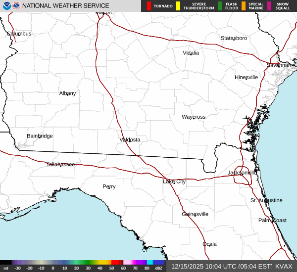
Current Radar Image
Sun Almanac for Sargent, Florida
Sunrise: 06:45 AM
Sunset: 8:08 PM
Civil Sunrise:06:20 AM
Civil Sunset: 8:34 PM
Nautical Sunrise: 05:49 AM
Nautical Sunset: 9:04 PM
Astro Sunrise: 05:17 AM
Astro Sunset: 9:36 PM
Florida's Current Temperatures
 Florida's Satellite Image
 Florida's Current Wind Direction
| National Summary |
of upper and lower values of current conditions amongst 6165 locations
in the contiguous United States |
|
High
Temp |
91° |
Bullhead City, Arizona
and 3 other locations
|
|
Low
Temp |
30° |
Salida Mountain, Colorado
and 2 other locations
|
|
Wind
Speed |
39mph |
Sandburg, California
|
|
Wind
Gust |
53mph |
Amarillo, Texas
|
|
Wind
Chill |
13° |
Salida Mountain, Colorado
|
|
Heat
Index |
96° |
Laredo AFB, Texas
|
|
High
Pressure |
30.20Hg |
Crescent City, California
|
|
Low
Pressure |
29.50Hg |
Lamar, Colorado
|
|
| # Locations Reporting Snow |
7 |
|
| # Locations Reporting Rain |
72 |
|
| # Locations Reporting Thunderstorms / Lightning |
14 |
|
| Average Temperature in the Contiguous USA |
65° |
|
Any use of the information on this page is at your own risk. This information should not be relied upon in life-threatening situations, potential financial loss situations or in lieu of any officially disseminated information. Visit the
National Weather Service for official information.