No Watches or Warnings for Reams
Issued: 11:15 pm EDT May 3, 2024 Latitude: 30.4860403 Longitude: -83.6273768 View on Google Maps
|
|
|
|
|
|
|
|
|
|
 |
 |
 |
 |
 |
|
|
 |
| Low: °F |
High: °F |
High: °F |
High: °F |
High: °F |
High: °F |
High: °F |
High: °F |
| Low: °F |
Low: °F |
Low: °F |
Low: °F |
Low: °F |
Low: °F |
|
| Thunderstorms |
Thunderstorms |
Thunderstorms |
Thunderstorms |
Sunny |
Sunny |
Sunny |
Thunderstorms |
Current Conditions at
VALDOSTA - (KVLD)
72°
Mostly Cloudy
as of 10:53 PM EDST
Rel. Humidity: 88%
Dew Point: 68°F
Visibility: 10 Miles
Pressure: 30.01 in.
Flight Rule: VFR
Wind Data
3 MPH
220° Southwest
Cloud Level(s): Broken at 10000ft
Current Conditions at
MOODY AFB - (KVAD)
70°
Cloudy
as of 10:55 PM EDST
Rel. Humidity: 94%
Dew Point: 68°F
Visibility: 10 Miles
Pressure: 29.99 in.
Flight Rule: VFR
Cloud Level(s): Solid Overcast at 9500ft
Current Conditions at
MOULTRIE - (KMGR)
70°
Clear
as of 10:55 PM EDST
Rel. Humidity: 100%
Dew Point: 70°F
Visibility: 10 Miles
Pressure: 30.02 in.
Flight Rule: VFR
Wind Data
5 MPH
240° Southwest
Cloud Level(s): Clear
|
Tonight... A 20 percent chance of showers and thunderstorms after 2am. Mostly cloudy, with a low around 67. Calm wind. |
|
|
Saturday... A chance of showers and thunderstorms, then showers likely and possibly a thunderstorm after 2pm. Mostly cloudy, with a high near 86. Southeast wind 5 to 10 mph. Chance of precipitation is 70%. New rainfall amounts between a quarter and half of an inch possible. |
|
 |
Saturday Night... Showers likely and possibly a thunderstorm before 8pm, then a slight chance of showers and thunderstorms between 8pm and 2am. Partly cloudy, with a low around 66. East wind around 5 mph becoming calm. Chance of precipitation is 60%. New rainfall amounts between a tenth and quarter of an inch, except higher amounts possible in thunderstorms. |
|
|
Sunday... A 50 percent chance of showers and thunderstorms after 2pm. Mostly sunny, with a high near 87. Southeast wind around 5 mph. |
|
 |
Sunday Night... A 30 percent chance of showers and thunderstorms before 8pm. Partly cloudy, with a low around 66. South southwest wind around 5 mph becoming calm in the evening. |
|
|
Monday... A 40 percent chance of showers and thunderstorms after 2pm. Mostly sunny, with a high near 87. |
|
|
Monday Night... A 30 percent chance of showers and thunderstorms before 8pm. Partly cloudy, with a low around 66. |
|
|
Tuesday... Sunny, with a high near 89. |
|
 |
Tuesday Night... Mostly clear, with a low around 68. |
|
|
Wednesday... Sunny, with a high near 91. |
|
|
Wednesday Night... Mostly clear, with a low around 69. |
|
|
Thursday... Sunny, with a high near 91. Breezy. |
|
 |
Thursday Night... Partly cloudy, with a low around 70. |
|
|
Friday... A 20 percent chance of showers and thunderstorms. Mostly sunny, with a high near 91. |
|
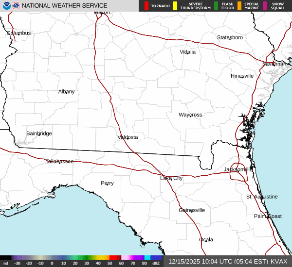
Current Radar Image
Sun Almanac for Reams, Florida
Sunrise: 06:48 AM
Sunset: 8:14 PM
Civil Sunrise:06:23 AM
Civil Sunset: 8:40 PM
Nautical Sunrise: 05:52 AM
Nautical Sunset: 9:11 PM
Astro Sunrise: 05:20 AM
Astro Sunset: 9:42 PM
Florida's Current Temperatures
 Florida's Satellite Image
 Florida's Current Wind Direction
| National Summary |
of upper and lower values of current conditions amongst 6748 locations
in the contiguous United States |
|
High
Temp |
90° |
Phoenix, Arizona
and 1 other location
|
|
Low
Temp |
30° |
Rawlins, Wyoming
and 2 other locations
|
|
Wind
Speed |
45mph |
Pueblo, Colorado
|
|
Wind
Gust |
64mph |
La Junta, Colorado
|
|
Wind
Chill |
18° |
Salida Mountain, Colorado
|
|
Heat
Index |
94° |
Keathley C 875, Louisiana
|
|
High
Pressure |
30.30Hg |
Presque Isle, Maine
|
|
Low
Pressure |
29.65Hg |
Thermal, California
and 1 other location
|
|
| # Locations Reporting Snow |
2 |
|
| # Locations Reporting Rain |
120 |
|
| # Locations Reporting Thunderstorms / Lightning |
14 |
|
| # Locations Reporting Fog |
4 |
|
| Average Temperature in the Contiguous USA |
61° |
|
Any use of the information on this page is at your own risk. This information should not be relied upon in life-threatening situations, potential financial loss situations or in lieu of any officially disseminated information. Visit the
National Weather Service for official information.