Ptarmigan, Alaska Weather
Issued: 9:04 pm AKDT May 1, 2024 Latitude: 61.1886111 Longitude: -145.6216667 View on Google Maps
|
|
|
|
|
|
|
|
|
|
 |
 |
 |
 |
 |
 |
|
|
| Low: °F |
High: °F |
High: °F |
High: °F |
High: °F |
High: °F |
High: °F |
High: °F |
| Low: °F |
Low: °F |
Low: °F |
Low: °F |
Low: °F |
Low: °F |
|
| Mostly Cloudy |
Mostly Cloudy |
Rain |
Rain & Snow |
Snow |
Rain & Snow |
Rain & Snow |
Rain & Snow |
Current Conditions at
VALDEZ SAWRS - (PAVD)
43°
Cloudy
as of 8:56 PM ADST
Rel. Humidity: 75%
Dew Point: 36°F
Visibility: 10 Miles
Pressure: 30.23 in.
Flight Rule: VFR
Cloud Level(s): Scattered at 3600ft, Solid Overcast at 4800ft
Current Conditions at
CORDOVA - (PACV)
45°
Cloudy
as of 8:53 PM ADST
Rel. Humidity: 65%
Dew Point: 34°F
Visibility: 10 Miles
Pressure: 30.17 in.
Flight Rule: VFR
Wind Data
8 MPH
140° Southeast
Cloud Level(s): Solid Overcast at 4500ft
Current Conditions at
GULKANA - (PAGK)
Clear
as of 8:53 PM ADST
Rel. Humidity: 33%
Dew Point: 19°F
Visibility: 10 Miles
Pressure: 30.03 in.
Flight Rule: VFR
Wind Data
10 MPH
160° South
Cloud Level(s): Clear
|
Tonight... Mostly cloudy, with a low around 28. Southwest wind around 5 mph becoming calm. |
|
|
Thursday... Mostly cloudy, with a high near 41. Calm wind becoming southeast around 5 mph in the afternoon. |
|
 |
Thursday Night... Cloudy, with a low around 31. East wind around 5 mph becoming calm in the evening. |
|
|
Friday... A 30 percent chance of rain after 4pm. Cloudy, with a high near 44. Northeast wind around 5 mph becoming southeast in the afternoon. |
|
|
Friday Night... Rain before 4am, then rain and snow. Low around 32. Southeast wind around 10 mph. Chance of precipitation is 80%. |
|
|
Saturday... Rain and snow, becoming all rain after 7am. High near 41. South wind around 10 mph. Chance of precipitation is 80%. |
|
|
Saturday Night... Rain before 10pm, then snow. Low around 31. Chance of precipitation is 80%. |
|
|
Sunday... Snow before 10am, then rain. Cloudy, with a high near 41. |
|
|
Sunday Night... A chance of rain before 4am, then a chance of rain and snow. Cloudy, with a low around 31. |
|
|
Monday... A chance of rain and snow before 10am, then a chance of rain. Cloudy, with a high near 41. |
|
|
Monday Night... A chance of rain and snow. Cloudy, with a low around 32. |
|
|
Tuesday... A chance of rain and snow. Cloudy, with a high near 42. |
|
|
Tuesday Night... A chance of rain and snow. Mostly cloudy, with a low around 28. |
|
|
Wednesday... A chance of rain and snow. Mostly cloudy, with a high near 41. |
|
Alaska's Current Temperatures
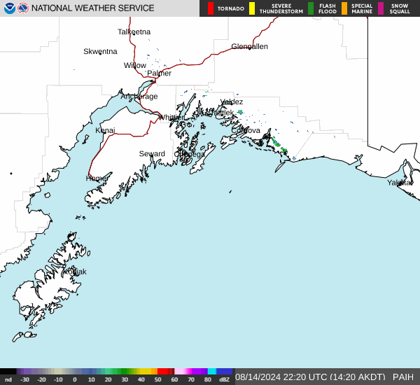
 Alaska's Satellite Image
 Alaska's Current Wind Direction
| National Summary |
of upper and lower values of current conditions amongst 7018 locations
in the contiguous United States |
|
High
Temp |
82° |
Needles, California
and 5 other locations
|
|
Low
Temp |
30° |
Thermopolis, Wyoming
and 16 other locations
|
|
Wind
Speed |
32mph |
Longview, Texas
|
|
Wind
Gust |
54mph |
Longview, Texas
|
|
Wind
Chill |
18° |
Converse County Arpt, Wyoming
|
|
High
Pressure |
30.79Hg |
Ottawa, Ohio
|
|
Low
Pressure |
29.56Hg |
Great Bend, Kansas
and 1 other location
|
|
| # Locations Reporting Snow |
3 |
|
| # Locations Reporting Rain |
110 |
|
| # Locations Reporting Thunderstorms / Lightning |
17 |
|
| # Locations Reporting Fog |
9 |
|
| Average Temperature in the Contiguous USA |
58° |
|
Any use of the information on this page is at your own risk. This information should not be relied upon in life-threatening situations, potential financial loss situations or in lieu of any officially disseminated information. Visit the
National Weather Service for official information.