Pinewood, California Weather
Current Conditions at
VISALIA - (KVIS)
48°
Clear
as of 4:56 AM PDST
Rel. Humidity: 87%
Dew Point: 45°F
Visibility: 10 Miles
Pressure: 30.10 in.
Flight Rule: VFR
Cloud Level(s): Clear
Current Conditions at
PORTERVILLE - (KPTV)
45°
Clear
as of 4:56 AM PDST
Rel. Humidity: 100%
Dew Point: 45°F
Visibility: 10 Miles
Pressure: 30.10 in.
Flight Rule: VFR
Wind Data
7 MPH
130° Southeast
Cloud Level(s): Clear
Current Conditions at
HANFORD - (KHJO)
48°
Clear
as of 4:53 AM PDST
Rel. Humidity: 87%
Dew Point: 45°F
Visibility: 10 Miles
Pressure: 30.10 in.
Flight Rule: VFR
Cloud Level(s): Clear
Current Conditions at
FRESNO - (KFAT)
54°
Clear
as of 4:53 AM PDST
Rel. Humidity: 71%
Dew Point: 45°F
Visibility: 10 Miles
Pressure: 30.10 in.
Flight Rule: VFR
Wind Data
3 MPH
330° Northwest
Cloud Level(s): Clear
Moon Almanac for Pinewood, California
Moon Phase: Waning Gibbous
Moon Illumination: 94%
Moon Age: 17.0 Days
Moon is currently above the horizon
Distance from Moon to Earth: 250,040 miles
Upcoming Lunar Events for
Pinewood: |
| Next Event | Event Time | Illum |
|
|
|
| Moonset: | 10:37 am Sat | 93.9% |
| Moonrise: | 01:22 am Sun | 90.7% |
| High Moon: | 06:19 am Sun | 89.5% |
| Moonset: | 11:10 am Sun | 88.3% |
 | New Moon: Wed Mar 18 |
 | First Quarter: Wed Mar 25 |
 | Full Moon: Wed Apr 1 |
 | Last Quarter: Fri Apr 10 |
| New Moon: Fri Apr 17 |
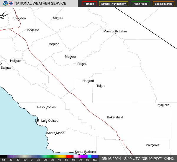
Current Radar Image
| California State Summary |
of upper and lower values of current conditions amongst 127 locations
in California |
|
|
|
Low
Temp |
19° |
Mammoth Lakes
and 1 other location
|
|
Wind
Speed |
24mph |
Needles
and 1 other location
|
|
|
|
|
|
High
Pressure |
30.36Hg |
Mammoth Lakes
|
|
Low
Pressure |
29.94Hg |
Los Alamitos
|
|
| Average temperature in California |
49° |
|
# Locations Reporting IFR
(Instrument Flight Rules) |
2 |
|
# Locations Reporting VFR
(Visual Flight Rules) |
125 |
|
California's Current Temperatures
 California's Satellite Image
 California's Current Wind Direction
| National Summary |
of upper and lower values of current conditions amongst 6324 locations
in the contiguous United States |
|
High
Temp |
79° |
Keathley C 875, Louisiana
|
|
Low
Temp |
10° |
Berthoud Pass, Colorado
|
|
Wind
Speed |
35mph |
Odessa, Texas
|
|
Wind
Gust |
49mph |
Odessa, Texas
|
|
Wind
Chill |
-12° |
Berthoud Pass, Colorado
|
|
High
Pressure |
30.45Hg |
Elk City, Idaho
and 1 other location
|
|
Low
Pressure |
29.79Hg |
Monroe, Wisconsin
|
|
| # Locations Reporting Snow |
75 |
|
| # Locations Reporting Rain |
193 |
|
| # Locations Reporting Thunderstorms / Lightning |
6 |
|
| # Locations Reporting Fog |
46 |
|
| Average Temperature in the Contiguous USA |
50° |
|
Any use of the information on this page is at your own risk. This information should not be relied upon in life-threatening situations, potential financial loss situations or in lieu of any officially disseminated information. Visit the
National Weather Service for official information.