No Watches or Warnings for Oleo
Issued: 1:02 pm PDT Apr 25, 2024 Latitude: 33.9205695 Longitude: -117.8783931 View on Google Maps
|
|
|
|
|
|
|
|
|
|
 |
 |
 |
|
|
 |
|
|
| Low: °F |
High: °F |
High: °F |
High: °F |
High: °F |
High: °F |
High: °F |
High: °F |
| Low: °F |
Low: °F |
Low: °F |
Low: °F |
Low: °F |
Low: °F |
|
| Mostly Cloudy |
Rain |
Sunny |
Sunny |
Sunny |
Morning Fog |
Patchy Fog |
Patchy Fog |
Current Conditions at
FULLERTON - (KFUL)
64°
Cloudy
as of 4:53 PM PDST
Rel. Humidity: 45%
Dew Point: 43°F
Visibility: 10 Miles
Pressure: 30.02 in.
Flight Rule: VFR
Cloud Level(s): Solid Overcast at 4500ft
Current Conditions at
CHINO - (KCNO)
66°
Mostly Cloudy
as of 4:53 PM PDST
Rel. Humidity: 48%
Dew Point: 46°F
Visibility: 10 Miles
Pressure: 30.01 in.
Flight Rule: VFR
Wind Data
17 MPH
230° Southwest
Cloud Level(s): Scattered at 3700ft, Broken at 5000ft
Current Conditions at
LONG BEACH - (KLGB)
66°
Partly Cloudy
as of 4:53 PM PDST
Rel. Humidity: 48%
Dew Point: 46°F
Visibility: 10 Miles
Pressure: 30.03 in.
Flight Rule: VFR
Cloud Level(s): Few at 3500ft, Scattered at 4700ft
Current Conditions at
SANTA ANA - (KSNA)
64°
Mostly Clear
as of 4:53 PM PDST
Rel. Humidity: 48%
Dew Point: 45°F
Visibility: 10 Miles
Pressure: 30.03 in.
Flight Rule: VFR
Wind Data
9 MPH
Gust: 18 MPH
280° West
Cloud Level(s): Few at 3200ft, Few at 5000ft
|
Tonight... Mostly cloudy, with a low around 54. South wind 10 to 15 mph, with gusts as high as 20 mph. |
|
|
Friday... A slight chance of rain before 11am. Mostly cloudy, then gradually becoming sunny, with a high near 67. Southwest wind 10 to 15 mph, with gusts as high as 25 mph. Chance of precipitation is 20%. |
|
 |
Friday Night... Mostly clear, with a low around 52. Southwest wind 10 to 15 mph becoming northeast 5 to 10 mph after midnight. Winds could gust as high as 25 mph. |
|
|
Saturday... Sunny, with a high near 71. Southeast wind 5 to 15 mph becoming southwest in the afternoon. Winds could gust as high as 20 mph. |
|
|
Saturday Night... Mostly clear, with a low around 52. Southeast wind 5 to 10 mph, with gusts as high as 20 mph. |
|
|
Sunday... Sunny, with a high near 75. |
|
|
Sunday Night... Mostly clear, with a low around 55. |
|
|
Monday... Sunny, with a high near 78. |
|
 |
Monday Night... Patchy fog after 11pm. Otherwise, partly cloudy, with a low around 55. |
|
|
Tuesday... Patchy fog before 11am. Otherwise, mostly sunny, with a high near 77. |
|
|
Tuesday Night... Patchy fog. Otherwise, partly cloudy, with a low around 55. |
|
|
Wednesday... Patchy fog. Otherwise, mostly sunny, with a high near 77. |
|
|
Wednesday Night... Patchy fog. Otherwise, partly cloudy, with a low around 56. |
|
|
Thursday... Patchy fog. Otherwise, partly sunny, then gradually becoming sunny, with a high near 75. |
|
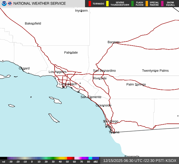
Current Radar Image
Sun Almanac for Oleo, California
Sunrise: 06:08 AM
Sunset: 7:31 PM
Civil Sunrise:05:42 AM
Civil Sunset: 7:57 PM
Nautical Sunrise: 05:10 AM
Nautical Sunset: 8:29 PM
Astro Sunrise: 04:37 AM
Astro Sunset: 9:01 PM
California's Current Temperatures
 California's Satellite Image
 California's Current Wind Direction
| National Summary |
of upper and lower values of current conditions amongst 6043 locations
in the contiguous United States |
|
High
Temp |
93° |
Wink, Texas
and 2 other locations
|
|
Low
Temp |
27° |
Salida Mountain, Colorado
and 1 other location
|
|
Wind
Speed |
38mph |
Elkhart, Kansas
|
|
Wind
Gust |
63mph |
Roswell, New Mexico
|
|
Wind
Chill |
9° |
Salida Mountain, Colorado
|
|
Heat
Index |
95° |
Laredo AFB, Texas
|
|
High
Pressure |
30.39Hg |
Williamson/Sodus, New York
|
|
Low
Pressure |
29.43Hg |
Lamar, Colorado
|
|
| # Locations Reporting Snow |
2 |
|
| # Locations Reporting Rain |
96 |
|
| # Locations Reporting Thunderstorms / Lightning |
13 |
|
| # Locations Reporting Fog |
2 |
|
| Average Temperature in the Contiguous USA |
64° |
|
Any use of the information on this page is at your own risk. This information should not be relied upon in life-threatening situations, potential financial loss situations or in lieu of any officially disseminated information. Visit the
National Weather Service for official information.