Octahatchee, Florida Weather
No Watches or Warnings for Octahatchee
|
|
|
|
|
|
|
|
 |
 |
 |
 |
 |
 |
 |
|
| Low: °F |
High: °F |
High: °F |
High: °F |
High: °F |
High: °F |
High: °F |
High: °F |
| Low: °F |
Low: °F |
Low: °F |
Low: °F |
Low: °F |
Low: °F |
|
| Cloudy |
Thunderstorms |
Morning Fog |
Mostly Sunny |
Thunderstorms |
Thunderstorms |
Rain |
Thunderstorms |
Current Conditions at
VALDOSTA - (KVLD)
70°
Clear
as of 2:53 AM EDST
Rel. Humidity: 94%
Dew Point: 68°F
Visibility: 10 Miles
Pressure: 30.03 in.
Flight Rule: VFR
Cloud Level(s): Clear
Current Conditions at
MOODY AFB - (KVAD)
70°
Clear
as of 2:55 AM EDST
Rel. Humidity: 88%
Dew Point: 66°F
Visibility: 10 Miles
Pressure: 30.01 in.
Flight Rule: VFR
Cloud Level(s): Clear
Current Conditions at
MOULTRIE - (KMGR)
70°
Clear
as of 3:15 AM EDST
Rel. Humidity: 100%
Dew Point: 70°F
Visibility: 10 Miles
Pressure: 30.03 in.
Flight Rule: VFR
Wind Data
3 MPH
150° Southeast
Cloud Level(s): Clear
|
Overnight... Partly cloudy, with a low around 67. Calm wind. |
|
|
Monday... A slight chance of showers, then a chance of showers and thunderstorms after 3pm. Areas of fog before 9am. Otherwise, partly sunny, with a high near 89. Calm wind becoming south around 5 mph in the morning. Chance of precipitation is 30%. |
|
 |
Monday Night... A 30 percent chance of showers and thunderstorms, mainly before 7pm. Partly cloudy, with a low around 67. Light southwest wind. |
|
|
Tuesday... Patchy fog before 8am. Otherwise, sunny, with a high near 91. Light south wind becoming southwest 5 to 10 mph in the morning. Winds could gust as high as 16 mph. |
|
|
Tuesday Night... Partly cloudy, with a low around 69. Southwest wind 7 to 10 mph, with gusts as high as 16 mph. |
|
|
Wednesday... Mostly sunny, with a high near 91. |
|
 |
Wednesday Night... Mostly clear, with a low around 70. |
|
|
Thursday... A 20 percent chance of showers and thunderstorms. Mostly sunny, with a high near 91. Breezy. |
|
|
Thursday Night... A 30 percent chance of showers and thunderstorms. Partly cloudy, with a low around 72. Breezy. |
|
|
Friday... Showers likely and possibly a thunderstorm. Mostly cloudy, with a high near 84. Breezy. Chance of precipitation is 70%. |
|
 |
Friday Night... A 20 percent chance of showers and thunderstorms. Partly cloudy, with a low around 61. |
|
|
Saturday... A 20 percent chance of showers. Sunny, with a high near 81. |
|
|
Saturday Night... Partly cloudy, with a low around 60. |
|
|
Sunday... A 20 percent chance of showers and thunderstorms. Mostly sunny, with a high near 82. |
|
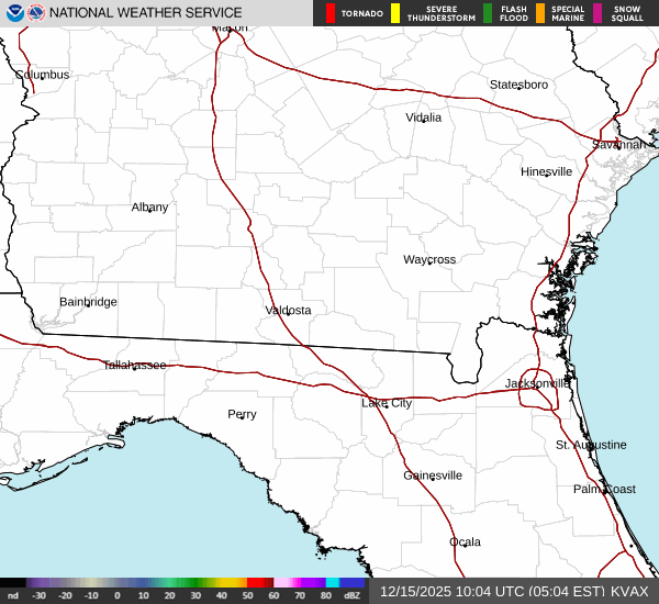
Current Radar Image
Sun Almanac for Octahatchee, Florida
Sunrise: 06:44 AM
Sunset: 8:15 PM
Civil Sunrise:06:18 AM
Civil Sunset: 8:40 PM
Nautical Sunrise: 05:47 AM
Nautical Sunset: 9:11 PM
Astro Sunrise: 05:15 AM
Astro Sunset: 9:44 PM
Florida's Current Temperatures
 Florida's Satellite Image
 Florida's Current Wind Direction
| National Summary |
of upper and lower values of current conditions amongst 6985 locations
in the contiguous United States |
|
High
Temp |
84° |
Key West NAS, Florida
|
|
Low
Temp |
30° |
Yellowstone, Wyoming
and 8 other locations
|
|
Wind
Speed |
46mph |
Pagosa Springs, Colorado
|
|
Wind
Gust |
78mph |
Pagosa Springs, Colorado
|
|
Wind
Chill |
12° |
Pagosa Springs, Colorado
|
|
High
Pressure |
30.17Hg |
San Martin, California
and 1 other location
|
|
Low
Pressure |
29.35Hg |
Malta, Montana
|
|
| # Locations Reporting Snow |
16 |
|
| # Locations Reporting Rain |
101 |
|
| # Locations Reporting Thunderstorms / Lightning |
3 |
|
| # Locations Reporting Fog |
57 |
|
| Average Temperature in the Contiguous USA |
58° |
|
Any use of the information on this page is at your own risk. This information should not be relied upon in life-threatening situations, potential financial loss situations or in lieu of any officially disseminated information. Visit the
National Weather Service for official information.