New Bern, North Carolina Weather
Current Conditions at
NEW BERN - (KEWN)
Cloudy
Mist
as of 3:54 PM EST
Rel. Humidity: 93%
Dew Point: 46°F
Visibility: 4 Miles
Pressure: 30.03 in.
Flight Rule: IFR
Wind Data
10 MPH
030° Northeast
Cloud Level(s): Solid Overcast at 500ft
Current Conditions at
CHERRY PT MCAS - (KNKT)
52°
Cloudy
Light Rain Mist
as of 3:55 PM EST
Rel. Humidity: 93%
Dew Point: 50°F
Visibility: 2 Miles
Pressure: 30.02 in.
Flight Rule: LIFR
Wind Data
9 MPH
040° Northeast
Cloud Level(s): Solid Overcast at 300ft
Current Conditions at
WASH -WARREN FLD - (KOCW)
48°
Cloudy
as of 3:55 PM EST
Rel. Humidity: 93%
Dew Point: 46°F
Visibility: 10 Miles
Pressure: 30.05 in.
Flight Rule: IFR
Wind Data
5 MPH
040° Northeast
Cloud Level(s): Solid Overcast at 500ft
Current Conditions at
BEAUFORT/SMITH FIELD - (KMRH)
Cloudy
as of 3:58 PM EST
Rel. Humidity: 100%
Dew Point: 48°F
Visibility: 9 Miles
Pressure: 30.01 in.
Flight Rule: LIFR
Wind Data
15 MPH
020° North
Cloud Level(s): Solid Overcast at 400ft
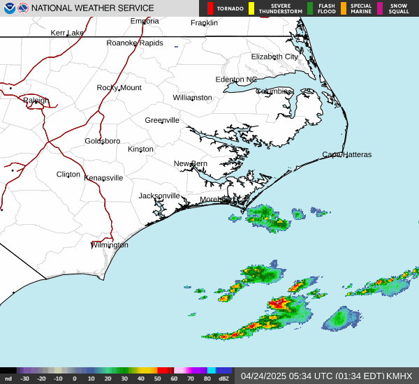
Current Radar Image
Sun Almanac for New Bern, North Carolina
Sunrise: 11:40 AM
Sunset: 11:02 PM
Civil Sunrise:11:14 AM
Civil Sunset: 11:27 PM
Nautical Sunrise: 10:45 AM
Nautical Sunset: 11:57 PM
Astro Sunrise: 10:16 AM
Astro Sunset: 00:26 PM
North Carolina's Current Temperatures
 North Carolina's Satellite Image
 North Carolina's Current Wind Direction
| National Summary |
of upper and lower values of current conditions amongst 7038 locations
in the contiguous United States |
|
High
Temp |
95° |
Laguna (Aaf), Arizona
and 2 other locations
|
|
Low
Temp |
12° |
Rolla Municipal A/P, North Dakota
and 1 other location
|
|
Wind
Speed |
43mph |
Duluth Sky Harbor, Minnesota
|
|
Wind
Gust |
52mph |
Duluth Intl, Minnesota
and 1 other location
|
|
Wind
Chill |
-8° |
Rolla Municipal A/P, North Dakota
and 1 other location
|
|
High
Pressure |
30.41Hg |
Salida Mountain, Colorado
|
|
Low
Pressure |
29.30Hg |
Copper Harbor, Michigan
|
|
| # Locations Reporting Snow |
7 |
|
| # Locations Reporting Rain |
27 |
|
| # Locations Reporting Thunderstorms / Lightning |
1 |
|
| # Locations Reporting Fog |
1 |
|
| Average Temperature in the Contiguous USA |
61° |
|
Any use of the information on this page is at your own risk. This information should not be relied upon in life-threatening situations, potential financial loss situations or in lieu of any officially disseminated information. Visit the
National Weather Service for official information.