Monticello, New York Weather
Issued: 1:28 am EST Dec 19, 2025 Latitude: 41.6556465 Longitude: -74.6893282 View on Google Maps
|
|
|
|
|
|
|
|
|
|
 |
 |
 |
 |
|
 |
|
 |
| Low: °F |
High: °F |
High: °F |
High: °F |
High: °F |
High: °F |
High: °F |
High: °F |
| Low: °F |
Low: °F |
Low: °F |
Low: °F |
Low: °F |
Low: °F |
|
| Rain |
Rain & Snow |
Increasing Clouds |
Mostly Sunny |
Mostly Sunny |
Snow |
Mostly Sunny |
Rain |
Current Conditions at
MONTICELLO - (KMSV)
41°
Cloudy
Light Rain Fog
as of 1:44 AM EST
Rel. Humidity: 100%
Dew Point: 41°F
Visibility: 1/2 Miles
Pressure: 29.82 in.
Flight Rule: LIFR
Cloud Level(s): Solid Overcast at 200ft
Current Conditions at
MONTGOMERY - (KMGJ)
37°
Cloudy
Mist
as of 1:44 AM EST
Rel. Humidity: 93%
Dew Point: 36°F
Visibility: 2 Miles
Pressure: 29.86 in.
Flight Rule: IFR
Cloud Level(s): Solid Overcast at 700ft
Current Conditions at
SUSSEX - (KFWN)
39°
Cloudy
Mist
as of 1:40 AM EST
Rel. Humidity: 86%
Dew Point: 36°F
Visibility: 3/4 Miles
Pressure: 29.84 in.
Flight Rule: MVFR
Cloud Level(s): Solid Overcast at 1000ft
Current Conditions at
POCONO MNTS MUNICIPAL AP - (KMPO)
Cloudy
Heavy Rain Mist
as of 1:37 AM EST
Rel. Humidity: 100%
Dew Point: 46°F
Visibility: 2 Miles
Pressure: 29.78 in.
Flight Rule: LIFR
Wind Data
17 MPH
Gust: 30 MPH
150° Southeast
Cloud Level(s): Solid Overcast at 100ft
|
Overnight... Rain, mainly after 3am. Low around 37. South wind 9 to 14 mph, with gusts as high as 26 mph. Chance of precipitation is 90%. New precipitation amounts between a quarter and half of an inch possible. |
|
|
Friday... Rain before 5pm, then a slight chance of rain and snow showers. Some thunder is also possible. Temperature falling to around 33 by 5pm. South wind 14 to 18 mph becoming west in the afternoon. Winds could gust as high as 38 mph. Chance of precipitation is 100%. Little or no snow accumulation expected. |
|
 |
Friday Night... Mostly cloudy, with a low around 20. Breezy, with a west wind 18 to 23 mph, with gusts as high as 40 mph. |
|
|
Saturday... Increasing clouds, with a high near 33. Northwest wind 6 to 11 mph becoming south in the afternoon. |
|
|
Saturday Night... Mostly cloudy, with a low around 26. South wind 8 to 10 mph. |
|
|
Sunday... Mostly sunny, with a high near 36. |
|
 |
Sunday Night... Partly cloudy, with a low around 17. |
|
|
Monday... Mostly sunny, with a high near 29. |
|
 |
Monday Night... A chance of snow showers after 1am. Mostly cloudy, with a low around 19. Chance of precipitation is 30%. |
|
|
Tuesday... Snow showers likely, mainly before 1pm. Mostly cloudy, with a high near 34. Chance of precipitation is 60%. |
|
|
Tuesday Night... Mostly cloudy, with a low around 24. |
|
|
Wednesday... Mostly sunny, with a high near 36. |
|
|
Wednesday Night... Mostly cloudy, with a low around 21. |
|
|
Christmas Day... A chance of showers. Mostly cloudy, with a high near 39. Chance of precipitation is 40%. |
|
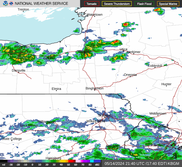
Current Radar Image
Sun Almanac for Monticello, New York
Sunrise: 07:21 AM
Sunset: 4:31 PM
Civil Sunrise:06:50 AM
Civil Sunset: 5:02 PM
Nautical Sunrise: 06:15 AM
Nautical Sunset: 5:37 PM
Astro Sunrise: 05:41 AM
Astro Sunset: 6:11 PM
New York's Current Temperatures
 New York's Satellite Image
 New York's Current Wind Direction
| National Summary |
of upper and lower values of current conditions amongst 7084 locations
in the contiguous United States |
|
High
Temp |
79° |
Lantana/Palm Bea, Florida
and 1 other location
|
|
Low
Temp |
-18° |
Robertson Field, North Dakota
|
|
Wind
Speed |
47mph |
Salida Mountain, Colorado
|
|
Wind
Gust |
64mph |
Salida Mountain, Colorado
|
|
Wind
Chill |
-34° |
Thief River Falls, Minnesota
|
|
High
Pressure |
30.31Hg |
Big Bear City, California
|
|
Low
Pressure |
29.07Hg |
Sault Ste Marie, Michigan
|
|
| # Locations Reporting Snow |
74 |
|
| # Locations Reporting Rain |
265 |
|
| # Locations Reporting Fog |
15 |
|
| Average Temperature in the Contiguous USA |
40° |
|
Any use of the information on this page is at your own risk. This information should not be relied upon in life-threatening situations, potential financial loss situations or in lieu of any officially disseminated information. Visit the
National Weather Service for official information.