Greensboro, North Carolina Weather
Current Conditions at
GREENSBORO - (KGSO)
Cloudy
Light Drizzle Fog
as of 12:54 AM EST
Rel. Humidity: 100%
Dew Point: 50°F
Visibility: 1/4 Miles
Pressure: 29.80 in.
Flight Rule: IFR
Wind Data
10 MPH
050° Northeast
Current Conditions at
BURLINGTON - (KBUY)
52°
Partly Cloudy
Mist
as of 1:16 AM EST
Rel. Humidity: 100%
Dew Point: 52°F
Visibility: 1 Miles
Pressure: 29.80 in.
Flight Rule: IFR
Current Conditions at
WINSTON-SALEM - (KINT)
52°
Mostly Cloudy
Mist
as of 12:54 AM EST
Rel. Humidity: 100%
Dew Point: 52°F
Visibility: 3/4 Miles
Pressure: 29.80 in.
Flight Rule: MVFR
Wind Data
10 MPH
060° Northeast
Current Conditions at
ASHEBORO - (KHBI)
54°
Mostly Cloudy
Mist
as of 1:35 AM EST
Rel. Humidity: 100%
Dew Point: 54°F
Visibility: 5 Miles
Pressure: 29.81 in.
Flight Rule: MVFR
Cloud Level(s): Scattered at 5000ft, Broken at 7000ft
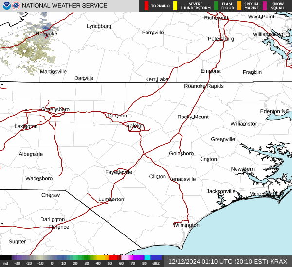
Current Radar Image
Sun Almanac for Greensboro, North Carolina
Sunrise: 12:00 AM
Sunset: 11:05 PM
Civil Sunrise:11:34 AM
Civil Sunset: 11:31 PM
Nautical Sunrise: 11:04 AM
Nautical Sunset: 00:01 PM
Astro Sunrise: 10:35 AM
Astro Sunset: 00:31 PM
North Carolina's Current Temperatures
 North Carolina's Satellite Image
 North Carolina's Current Wind Direction
| National Summary |
of upper and lower values of current conditions amongst 6380 locations
in the contiguous United States |
|
High
Temp |
79° |
Viosca Knoll768, Alabama
|
|
Low
Temp |
-13° |
Crosby Municipal, North Dakota
|
|
Wind
Speed |
37mph |
Springerville, Arizona
|
|
Wind
Gust |
55mph |
Springfield, Illinois
and 1 other location
|
|
Wind
Chill |
-30° |
Minot, North Dakota
|
|
High
Pressure |
30.25Hg |
Charlie, Montana
|
|
Low
Pressure |
29.29Hg |
Savanna, Illinois
and 1 other location
|
|
| # Locations Reporting Snow |
113 |
|
| # Locations Reporting Rain |
91 |
|
| # Locations Reporting Thunderstorms / Lightning |
2 |
|
| # Locations Reporting Fog |
45 |
|
| Average Temperature in the Contiguous USA |
40° |
|
Any use of the information on this page is at your own risk. This information should not be relied upon in life-threatening situations, potential financial loss situations or in lieu of any officially disseminated information. Visit the
National Weather Service for official information.