Bakersfield, California Weather
Current Conditions at
BAKERSFIELD - (KBFL)
54°
Partly Cloudy
Mist
as of 10:10 AM PST
Rel. Humidity: 87%
Dew Point: 50°F
Visibility: 2 Miles
Pressure: 30.28 in.
Flight Rule: IFR
Cloud Level(s): Scattered at 400ft
Current Conditions at
PORTERVILLE - (KPTV)
55°
Clear
Mist
as of 9:56 AM PST
Rel. Humidity: 87%
Dew Point: 52°F
Visibility: 3 Miles
Pressure: 30.31 in.
Flight Rule: MVFR
Cloud Level(s): Clear
Current Conditions at
SANDBURG - (KSDB)
57°
Clear
as of 9:51 AM PST
Rel. Humidity: 26%
Dew Point: 23°F
Visibility: 10 Miles
Pressure: 30.38 in.
Flight Rule: VFR
Wind Data
17 MPH
Gust: 26 MPH
070° East
Cloud Level(s): Clear
Current Conditions at
LANCASTER - (KWJF)
54°
Clear
as of 9:56 AM PST
Rel. Humidity: 40%
Dew Point: 30°F
Visibility: 10 Miles
Pressure: 30.37 in.
Flight Rule: VFR
Cloud Level(s): Clear
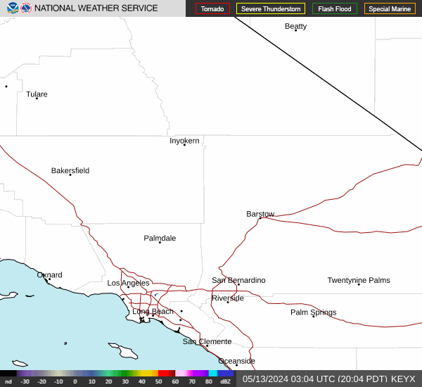
Current Radar Image
Sun Almanac for Bakersfield, California
Sunrise: 14:53 AM
Sunset: 01:27 PM
Civil Sunrise:14:26 AM
Civil Sunset: 01:54 PM
Nautical Sunrise: 13:56 AM
Nautical Sunset: 02:24 PM
Astro Sunrise: 13:26 AM
Astro Sunset: 02:54 PM
California's Current Temperatures
 California's Satellite Image
 California's Current Wind Direction
| National Summary |
of upper and lower values of current conditions amongst 7095 locations
in the contiguous United States |
|
High
Temp |
82° |
Riverside, California
and 5 other locations
|
|
Low
Temp |
12° |
Sault Ste Marie, Michigan
and 1 other location
|
|
Wind
Speed |
39mph |
Big Timber, Montana
|
|
Wind
Gust |
52mph |
Big Timber, Montana
|
|
Wind
Chill |
-2° |
Berthoud Pass, Colorado
|
|
High
Pressure |
30.66Hg |
Salida Mountain, Colorado
|
|
Low
Pressure |
29.89Hg |
Greenville, Maine
|
|
| # Locations Reporting Snow |
38 |
|
| # Locations Reporting Rain |
90 |
|
| # Locations Reporting Fog |
20 |
|
| Average Temperature in the Contiguous USA |
41° |
|
Any use of the information on this page is at your own risk. This information should not be relied upon in life-threatening situations, potential financial loss situations or in lieu of any officially disseminated information. Visit the
National Weather Service for official information.