No Watches or Warnings for Weso
Issued: 3:06 am PST Dec 7, 2025 Latitude: 41.0112912 Longitude: -117.6915171 View on Google Maps
|
|
|
|
|
|
|
|
|
|
 |
 |
 |
|
|
 |
|
|
| High: °F |
Low: °F |
High: °F |
High: °F |
High: °F |
High: °F |
High: °F |
High: °F |
| Low: °F |
Low: °F |
Low: °F |
Low: °F |
Low: °F |
|
| Partly Sunny |
Mostly Clear |
Sunny |
Partly Sunny |
Partly Sunny |
Mostly Sunny |
Sunny |
Sunny |
Current Conditions at
WINNEMUCA - (KWMC)
19°
Clear
as of 4:56 AM PST
Rel. Humidity: 85%
Dew Point: 16°F
Visibility: 10 Miles
Pressure: 30.23 in.
Flight Rule: VFR
Wind Data
6 MPH
130° Southeast
Cloud Level(s): Clear
Current Conditions at
LOVELOCK - (KLOL)
23°
Clear
as of 4:53 AM PST
Rel. Humidity: 85%
Dew Point: 19°F
Visibility: 10 Miles
Pressure: 30.24 in.
Flight Rule: VFR
Cloud Level(s): Clear
Current Conditions at
ELKO - (KEKO)
25°
Clear
as of 4:56 AM PST
Rel. Humidity: 79%
Dew Point: 19°F
Visibility: 10 Miles
Pressure: 30.24 in.
Flight Rule: VFR
Cloud Level(s): Clear
Current Conditions at
ROME - (KREO)
32°
Cloudy
as of 5:52 AM MST
Rel. Humidity: 80%
Dew Point: 27°F
Pressure: 30.16 in.
|
Today... Partly sunny, with a high near 52. South southwest wind around 5 mph. |
|
|
Tonight... Mostly cloudy, then gradually becoming mostly clear, with a low around 25. Calm wind becoming southwest around 5 mph. |
|
|
Monday... Sunny, with a high near 53. Calm wind becoming east southeast around 5 mph. |
|
 |
Monday Night... Mostly cloudy, with a low around 27. South southwest wind around 5 mph. |
|
|
Tuesday... Partly sunny, with a high near 56. West southwest wind around 5 mph. |
|
|
Tuesday Night... Mostly cloudy, with a low around 33. |
|
|
Wednesday... Partly sunny, with a high near 59. |
|
|
Wednesday Night... Mostly cloudy, with a low around 33. |
|
|
Thursday... Mostly sunny, with a high near 57. |
|
|
Thursday Night... Mostly clear, with a low around 28. |
|
|
Friday... Sunny, with a high near 55. |
|
|
Friday Night... Mostly clear, with a low around 25. |
|
|
Saturday... Sunny, with a high near 55. |
|
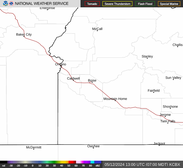
Current Radar Image
Sun Almanac for Weso, Nevada
Sunrise: 07:03 AM
Sunset: 4:22 PM
Civil Sunrise:06:32 AM
Civil Sunset: 4:53 PM
Nautical Sunrise: 05:57 AM
Nautical Sunset: 5:28 PM
Astro Sunrise: 05:24 AM
Astro Sunset: 6:01 PM
Nevada's Current Temperatures
 Nevada's Satellite Image
 Nevada's Current Wind Direction
| National Summary |
of upper and lower values of current conditions amongst 7007 locations
in the contiguous United States |
|
High
Temp |
79° |
Key West Intl, Florida
and 3 other locations
|
|
Low
Temp |
-20° |
Cook, Minnesota
|
|
Wind
Speed |
29mph |
Rawlins, Wyoming
|
|
Wind
Gust |
47mph |
Livingston, Montana
|
|
Wind
Chill |
-29° |
Grand Marais, Minnesota
|
|
High
Pressure |
30.36Hg |
Wheaton Ndb, Minnesota
|
|
Low
Pressure |
29.85Hg |
Jacksonville, Texas
|
|
| # Locations Reporting Snow |
109 |
|
| # Locations Reporting Rain |
74 |
|
| # Locations Reporting Fog |
172 |
|
| Average Temperature in the Contiguous USA |
33° |
|
Any use of the information on this page is at your own risk. This information should not be relied upon in life-threatening situations, potential financial loss situations or in lieu of any officially disseminated information. Visit the
National Weather Service for official information.