No Watches or Warnings for Wailua
Issued: 6:03 pm HST May 16, 2024 Latitude: 20.8452164 Longitude: -156.1326313 View on Google Maps
|
|
|
|
|
|
|
|
|
|
 |
 |
 |
 |
 |
 |
|
|
| Low: °F |
High: °F |
High: °F |
High: °F |
High: °F |
High: °F |
High: °F |
High: °F |
| Low: °F |
Low: °F |
Low: °F |
Low: °F |
Low: °F |
Low: °F |
|
| Thunderstorms |
Rain |
Rain |
Rain |
Partly Sunny |
Rain |
Rain |
Partly Sunny |
Current Conditions at
KAHULUI/MAUI - (PHOG)
75°
Mostly Clear
as of 10:54 PM HDST
Rel. Humidity: 88%
Dew Point: 72°F
Visibility: 10 Miles
Pressure: 29.90 in.
Flight Rule: VFR
Wind Data
17 MPH
Gust: 28 MPH
210° Southwest
Cloud Level(s): Few at 6000ft
Current Conditions at
LANAI/LANI CITY - (PHNY)
72°
Cloudy
as of 10:56 PM HDST
Rel. Humidity: 100%
Dew Point: 72°F
Visibility: 8 Miles
Pressure: 29.98 in.
Flight Rule: LIFR
Wind Data
15 MPH
Gust: 21 MPH
160° South
Cloud Level(s): Solid Overcast at 300ft
Current Conditions at
KONA/KEAHOLE - (PHKO)
81°
Clear
as of 10:53 PM HDST
Rel. Humidity: 74%
Dew Point: 72°F
Visibility: 10 Miles
Pressure: 29.91 in.
Flight Rule: VFR
Cloud Level(s): Clear
|
Tonight... Scattered showers, then showers likely and possibly a thunderstorm after midnight. Mostly cloudy, with a low around 71. Southeast wind 6 to 9 mph. Chance of precipitation is 60%. New rainfall amounts of less than a tenth of an inch, except higher amounts possible in thunderstorms. |
|
|
Friday... Scattered showers. Mostly cloudy, with a high near 81. East southeast wind 9 to 13 mph. Chance of precipitation is 50%. New precipitation amounts of less than a tenth of an inch possible. |
|
 |
Friday Night... Scattered showers, mainly before midnight. Mostly cloudy, with a low around 71. East southeast wind 11 to 13 mph. Chance of precipitation is 30%. New precipitation amounts between a tenth and quarter of an inch possible. |
|
|
Saturday... Isolated showers. Mostly cloudy, with a high near 80. East southeast wind around 11 mph. Chance of precipitation is 20%. |
|
 |
Saturday Night... Scattered showers. Cloudy, with a low around 71. East southeast wind around 11 mph. Chance of precipitation is 40%. New precipitation amounts between a quarter and half of an inch possible. |
|
|
Sunday... Scattered showers. Cloudy, with a high near 78. East southeast wind around 11 mph. Chance of precipitation is 40%. New precipitation amounts between a tenth and quarter of an inch possible. |
|
|
Sunday Night... Scattered showers, mainly before midnight. Mostly cloudy, with a low around 70. East southeast wind around 11 mph. Chance of precipitation is 30%. |
|
|
Monday... Scattered showers. Partly sunny, with a high near 80. East southeast wind 10 to 13 mph. Chance of precipitation is 50%. |
|
 |
Monday Night... Showers likely, mainly after midnight. Mostly cloudy, with a low around 71. East southeast wind 11 to 13 mph. Chance of precipitation is 60%. |
|
|
Tuesday... Showers likely, mainly before noon. Mostly cloudy, with a high near 79. East southeast wind 11 to 13 mph. Chance of precipitation is 70%. |
|
 |
Tuesday Night... Scattered showers. Mostly cloudy, with a low around 70. East southeast wind 11 to 13 mph. Chance of precipitation is 50%. |
|
|
Wednesday... Scattered showers. Mostly cloudy, with a high near 79. East wind 11 to 13 mph. Chance of precipitation is 50%. |
|
|
Wednesday Night... Scattered showers. Mostly cloudy, with a low around 70. East southeast wind 11 to 13 mph. Chance of precipitation is 50%. |
|
|
Thursday... Scattered showers. Partly sunny, with a high near 79. East wind 11 to 14 mph, with gusts as high as 18 mph. Chance of precipitation is 50%. |
|
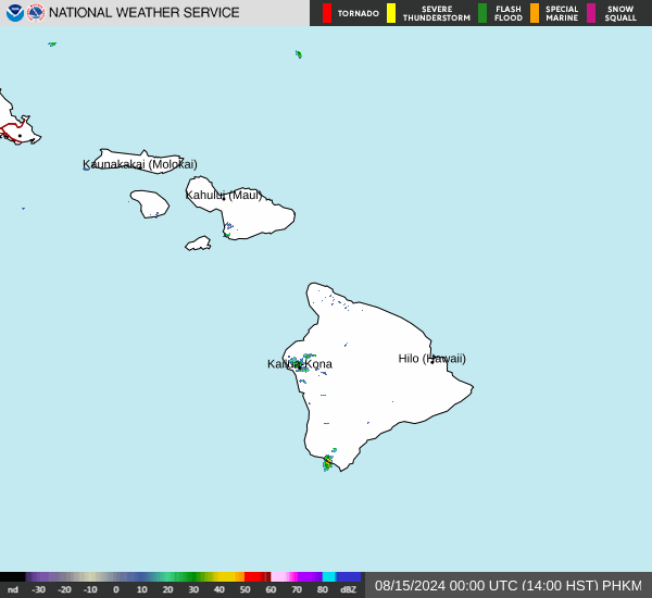
Current Radar Image
Sun Almanac for Wailua, Hawaii
Sunrise: 06:46 AM
Sunset: 7:56 PM
Civil Sunrise:06:22 AM
Civil Sunset: 8:20 PM
Nautical Sunrise: 05:54 AM
Nautical Sunset: 8:48 PM
Astro Sunrise: 05:25 AM
Astro Sunset: 9:17 PM
Hawaii's Current Temperatures
 Hawaii's Satellite Image
 Hawaii's Current Wind Direction
| National Summary |
of upper and lower values of current conditions amongst 6295 locations
in the contiguous United States |
|
High
Temp |
88° |
Lake Havasu City, Arizona
and 1 other location
|
|
Low
Temp |
30° |
Angel Fire, New Mexico
|
|
Wind
Speed |
31mph |
Travis AFB, California
|
|
Wind
Gust |
49mph |
Jack Edwards A/P, Alabama
|
|
Wind
Chill |
18° |
Berthoud Pass, Colorado
|
|
High
Pressure |
30.37Hg |
Salida Mountain, Colorado
|
|
Low
Pressure |
29.46Hg |
Malta, Montana
|
|
| # Locations Reporting Snow |
1 |
|
| # Locations Reporting Rain |
106 |
|
| # Locations Reporting Thunderstorms / Lightning |
3 |
|
| # Locations Reporting Fog |
65 |
|
| Average Temperature in the Contiguous USA |
60° |
|
Any use of the information on this page is at your own risk. This information should not be relied upon in life-threatening situations, potential financial loss situations or in lieu of any officially disseminated information. Visit the
National Weather Service for official information.