Wagontire, Oregon Weather
Issued: 1:04 pm PST Dec 14, 2025 Latitude: 43.2495936 Longitude: -119.875795 View on Google Maps
|
|
|
|
|
|
|
|
|
|
 |
 |
 |
 |
 |
 |
 |
 |
| Low: °F |
High: °F |
High: °F |
High: °F |
High: °F |
High: °F |
High: °F |
High: °F |
| Low: °F |
Low: °F |
Low: °F |
Low: °F |
Low: °F |
Low: °F |
|
| Rain |
Rain |
Rain |
Rain & Snow |
Rain & Snow |
Rain |
Rain & Snow |
Rain & Snow |
Current Conditions at
BURNS - (KBNO)
28°
Mostly Cloudy
as of 9:53 PM PST
Rel. Humidity: 86%
Dew Point: 25°F
Visibility: 10 Miles
Pressure: 30.24 in.
Flight Rule: VFR
Cloud Level(s): Broken at 11000ft
Current Conditions at
LAKEVIEW - (KLKV)
27°
Clear
as of 9:53 PM PST
Rel. Humidity: 79%
Dew Point: 21°F
Visibility: 10 Miles
Pressure: 30.26 in.
Flight Rule: VFR
Cloud Level(s): Clear
Current Conditions at
REDMOND - (KRDM)
50°
Clear
as of 9:56 PM PST
Rel. Humidity: 34%
Dew Point: 23°F
Visibility: 10 Miles
Pressure: 30.12 in.
Flight Rule: VFR
Wind Data
6 MPH
130° Southeast
Cloud Level(s): Clear
Current Conditions at
ROME - (KREO)
34°
Clear
as of 10:52 PM MST
Rel. Humidity: 64%
Dew Point: 23°F
Pressure: 30.23 in.
Wind Data
7 MPH
240° Southwest
|
Tonight... A 10 percent chance of rain after 4am. Mostly cloudy, with a low around 31. Southwest wind around 10 mph. |
|
|
Monday... A 30 percent chance of rain, mainly after 10am. Cloudy, then gradually becoming mostly sunny, with a high near 57. Southwest wind 11 to 18 mph. |
|
 |
Monday Night... A 30 percent chance of rain before 10pm. Mostly cloudy, with a low around 39. Southwest wind around 15 mph. |
|
|
Tuesday... A 30 percent chance of rain after 4pm. Partly sunny, with a high near 54. West southwest wind 13 to 18 mph. |
|
 |
Tuesday Night... Rain likely, mainly after 10pm. Mostly cloudy, with a low around 36. Windy, with a south southwest wind 24 to 33 mph, with gusts as high as 45 mph. Chance of precipitation is 70%. |
|
|
Wednesday... Rain likely before 10am, then a slight chance of rain and snow between 10am and 4pm, then a slight chance of snow after 4pm. Snow level 5600 feet lowering to 4700 feet in the afternoon . Partly sunny, with a high near 47. Windy. Chance of precipitation is 70%. Little or no snow accumulation expected. |
|
 |
Wednesday Night... A slight chance of snow before 10pm, then snow, possibly mixed with rain. Low around 27. Chance of precipitation is 80%. New snow accumulation of less than a half inch possible. |
|
|
Thursday... Rain and snow, becoming all rain after 7am. High near 49. Windy. Chance of precipitation is 90%. |
|
 |
Thursday Night... Rain. Low around 36. Breezy. Chance of precipitation is 80%. |
|
|
Friday... Rain. High near 47. Breezy. Chance of precipitation is 80%. |
|
 |
Friday Night... A chance of rain and snow. Mostly cloudy, with a low around 26. Breezy. Chance of precipitation is 40%. |
|
|
Saturday... A slight chance of rain and snow. Mostly sunny, with a high near 41. Breezy. Chance of precipitation is 20%. |
|
 |
Saturday Night... A chance of rain and snow. Mostly cloudy, with a low around 25. Chance of precipitation is 30%. |
|
|
Sunday... A chance of rain and snow. Snow level rising to 5500 feet in the afternoon. Mostly cloudy, with a high near 44. Chance of precipitation is 50%. |
|
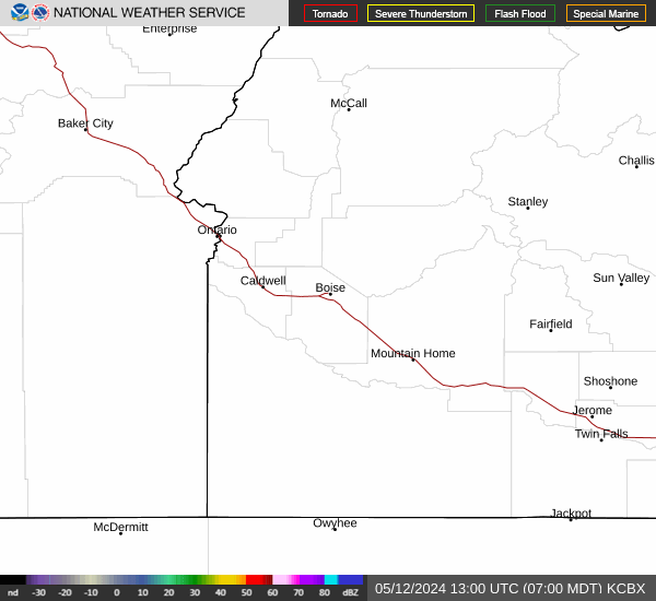
Current Radar Image
Sun Almanac for Wagontire, Oregon
Sunrise: 07:25 AM
Sunset: 4:25 PM
Civil Sunrise:06:53 AM
Civil Sunset: 4:57 PM
Nautical Sunrise: 06:17 AM
Nautical Sunset: 5:33 PM
Astro Sunrise: 05:42 AM
Astro Sunset: 6:08 PM
Oregon's Current Temperatures
 Oregon's Satellite Image
 Oregon's Current Wind Direction
| National Summary |
of upper and lower values of current conditions amongst 7009 locations
in the contiguous United States |
|
High
Temp |
73° |
Key West NAS, Florida
and 1 other location
|
|
Low
Temp |
-9° |
Terre Haute, Indiana
and 4 other locations
|
|
Wind
Speed |
36mph |
Tracy, Minnesota
|
|
Wind
Gust |
48mph |
Tracy, Minnesota
|
|
Wind
Chill |
-27° |
Bloomington, Illinois
|
|
High
Pressure |
30.65Hg |
Little Rock Adams Fld, Arkansas
and 2 other locations
|
|
Low
Pressure |
29.73Hg |
Greenville, Maine
and 1 other location
|
|
| # Locations Reporting Snow |
52 |
|
| # Locations Reporting Rain |
4 |
|
| # Locations Reporting Fog |
25 |
|
| Average Temperature in the Contiguous USA |
25° |
|
Any use of the information on this page is at your own risk. This information should not be relied upon in life-threatening situations, potential financial loss situations or in lieu of any officially disseminated information. Visit the
National Weather Service for official information.