Twin Lakes Resort, North Carolina Weather
Current Conditions at
WASH -WARREN FLD - (KOCW)
43°
Cloudy
as of 2:35 AM EST
Rel. Humidity: 81%
Dew Point: 37°F
Visibility: 10 Miles
Pressure: 30.46 in.
Flight Rule: MVFR
Wind Data
6 MPH
030° Northeast
Cloud Level(s): Solid Overcast at 1100ft
Current Conditions at
PITT-GREENVILLE - (KPGV)
43°
Cloudy
as of 2:35 AM EST
Rel. Humidity: 81%
Dew Point: 37°F
Visibility: 10 Miles
Pressure: 30.46 in.
Flight Rule: MVFR
Cloud Level(s): Solid Overcast at 1200ft
Current Conditions at
NEW BERN - (KEWN)
45°
Mostly Cloudy
as of 2:22 AM EST
Rel. Humidity: 81%
Dew Point: 39°F
Visibility: 10 Miles
Pressure: 30.45 in.
Flight Rule: MVFR
Cloud Level(s): Broken at 1300ft
Current Conditions at
KINSTON - (KISO)
Cloudy
as of 2:35 AM EST
Rel. Humidity: 86%
Dew Point: 39°F
Visibility: 10 Miles
Pressure: 30.45 in.
Flight Rule: MVFR
Wind Data
10 MPH
030° Northeast
Cloud Level(s): Solid Overcast at 1200ft
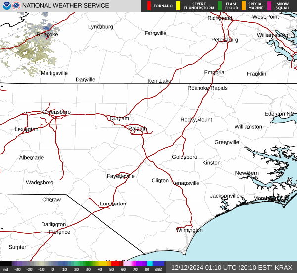
Current Radar Image
Sun Almanac for Twin Lakes Resort, North Carolina
Sunrise: 11:35 AM
Sunset: 11:05 PM
Civil Sunrise:11:09 AM
Civil Sunset: 11:31 PM
Nautical Sunrise: 10:40 AM
Nautical Sunset: 00:00 PM
Astro Sunrise: 10:10 AM
Astro Sunset: 00:30 PM
North Carolina's Current Temperatures
 North Carolina's Satellite Image
 North Carolina's Current Wind Direction
| National Summary |
of upper and lower values of current conditions amongst 7044 locations
in the contiguous United States |
|
High
Temp |
75° |
Lantana/Palm Bea, Florida
and 3 other locations
|
|
Low
Temp |
-11° |
Berlin, New Hampshire
and 1 other location
|
|
Wind
Speed |
30mph |
San Nicolas I.Nas, California
|
|
Wind
Gust |
44mph |
Rifle/Garfield Rgnl, Colorado
|
|
Wind
Chill |
-9° |
Robertson Field, North Dakota
|
|
High
Pressure |
30.68Hg |
Coast Guard Air Sta, Massachusetts
|
|
Low
Pressure |
29.43Hg |
Charlie, Montana
|
|
| # Locations Reporting Snow |
7 |
|
| # Locations Reporting Rain |
60 |
|
| # Locations Reporting Thunderstorms / Lightning |
1 |
|
| # Locations Reporting Fog |
28 |
|
| Average Temperature in the Contiguous USA |
42° |
|
Any use of the information on this page is at your own risk. This information should not be relied upon in life-threatening situations, potential financial loss situations or in lieu of any officially disseminated information. Visit the
National Weather Service for official information.