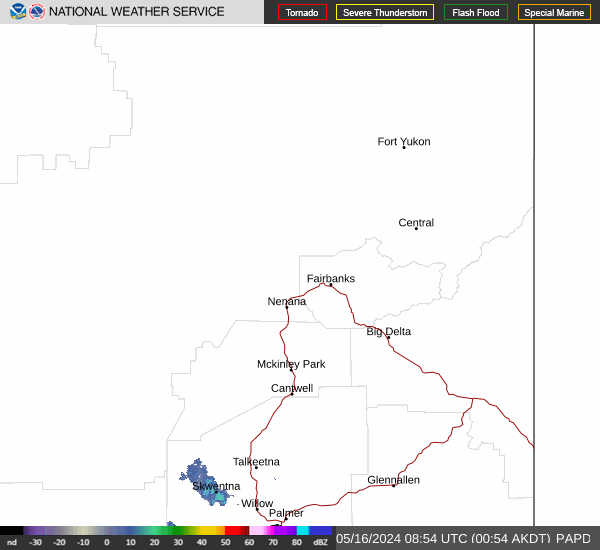
Terentief, Alaska Weather
No Watches or Warnings for Terentief
|
|
|
|
|
|
|
|
 |
 |
 |
 |
 |
|
|
|
| Low: °F |
High: °F |
High: °F |
High: °F |
High: °F |
High: °F |
High: °F |
High: °F |
| Low: °F |
Low: °F |
Low: °F |
Low: °F |
Low: °F |
Low: °F |
|
| Mostly Clear |
Snow |
Mostly Sunny |
Sunny |
Snow |
Snow |
Snow |
Snow |
Current Conditions at
GALENA - (PAGA)
-29°
Clear
as of 8:56 PM AST
Rel. Humidity: 73%
Dew Point: -35°F
Visibility: 10 Miles
Pressure: 30.20 in.
Flight Rule: VFR
Cloud Level(s): Clear
Current Conditions at
KALTAG - (PAKV)
-24°
Clear
as of 8:53 PM AST
Rel. Humidity: 82%
Dew Point: -27°F
Visibility: 10 Miles
Pressure: 30.20 in.
Flight Rule: VFR
Wind Data
3 MPH
220° Southwest
Cloud Level(s): Clear
Current Conditions at
HUSLIA - (PAHL)
-33°
Mostly Clear
as of 9:22 PM AST
Rel. Humidity: 539%
Visibility: 10 Miles
Pressure: 30.19 in.
Flight Rule: VFR
Cloud Level(s): Few at 100ft
|
Tonight... Mostly clear, with a low around -20. North wind around 5 mph. |
|
|
Monday... A 30 percent chance of snow after 3pm. Mostly sunny, with a high near -9. North wind around 5 mph becoming calm in the morning. |
|
 |
Monday Night... A 40 percent chance of snow, mainly before midnight. Mostly cloudy, with a temperature rising to around 4 by 5am. Light and variable wind becoming northwest 5 to 10 mph after midnight. |
|
|
Tuesday... Mostly sunny, with a high near 8. Northwest wind around 15 mph. |
|
 |
Tuesday Night... Partly cloudy, with a low around -12. Northwest wind 10 to 15 mph. |
|
|
Wednesday... Sunny, with a high near -7. |
|
|
Wednesday Night... Partly cloudy, with a low around -19. |
|
|
Thursday... A slight chance of snow after 3pm. Mostly cloudy, with a high near -6. |
|
|
Thursday Night... A slight chance of snow. Mostly cloudy, with a low around -17. |
|
|
Friday... A slight chance of snow before 3pm. Partly sunny, with a high near 2. |
|
|
Friday Night... A slight chance of snow. Mostly cloudy, with a low around -10. |
|
|
Saturday... A slight chance of snow. Partly sunny, with a high near 4. |
|
|
Saturday Night... A slight chance of snow. Mostly cloudy, with a low around -7. |
|
|
Sunday... A slight chance of snow. Mostly cloudy, with a high near 6. |
|
Alaska's Current Temperatures
 Alaska's Satellite Image
 Alaska's Current Wind Direction
| National Summary |
of upper and lower values of current conditions amongst 7009 locations
in the contiguous United States |
|
High
Temp |
73° |
Key West NAS, Florida
and 1 other location
|
|
Low
Temp |
-9° |
Terre Haute, Indiana
and 4 other locations
|
|
Wind
Speed |
36mph |
Tracy, Minnesota
|
|
Wind
Gust |
48mph |
Tracy, Minnesota
|
|
Wind
Chill |
-27° |
Bloomington, Illinois
|
|
High
Pressure |
30.65Hg |
Little Rock Adams Fld, Arkansas
and 2 other locations
|
|
Low
Pressure |
29.73Hg |
Greenville, Maine
and 1 other location
|
|
| # Locations Reporting Snow |
52 |
|
| # Locations Reporting Rain |
4 |
|
| # Locations Reporting Fog |
25 |
|
| Average Temperature in the Contiguous USA |
25° |
|
Any use of the information on this page is at your own risk. This information should not be relied upon in life-threatening situations, potential financial loss situations or in lieu of any officially disseminated information. Visit the
National Weather Service for official information.