Taylorville, Alabama Weather
No Watches or Warnings for Taylorville
Issued: 5:06 pm CST Dec 15, 2025 Latitude: 33.1434535 Longitude: -87.5472281 View on Google Maps
|
|
|
|
|
|
|
|
|
|
 |
 |
 |
 |
|
|
 |
|
| Low: °F |
High: °F |
High: °F |
High: °F |
High: °F |
High: °F |
High: °F |
High: °F |
| Low: °F |
Low: °F |
Low: °F |
Low: °F |
Low: °F |
Low: °F |
|
| Clear |
Sunny |
Partly Sunny |
Thunderstorms |
Sunny |
Sunny |
Rain |
Rain |
Current Conditions at
TUSCALOOSA - (KTCL)
28°
Clear
as of 7:53 PM CST
Rel. Humidity: 68%
Dew Point: 19°F
Visibility: 10 Miles
Pressure: 30.36 in.
Flight Rule: VFR
Cloud Level(s): Clear
Current Conditions at
CALERA - (KEET)
27°
Clear
as of 7:53 PM CST
Rel. Humidity: 73%
Dew Point: 19°F
Visibility: 10 Miles
Pressure: 30.33 in.
Flight Rule: VFR
Cloud Level(s): Clear
Current Conditions at
BIRMINGHAM - (KBHM)
30°
Clear
as of 7:53 PM CST
Rel. Humidity: 54%
Dew Point: 16°F
Visibility: 10 Miles
Pressure: 30.35 in.
Flight Rule: VFR
Cloud Level(s): Clear
Current Conditions at
COLUMBUS AFB - (KCBM)
28°
Clear
as of 7:55 PM CST
Rel. Humidity: 63%
Dew Point: 18°F
Visibility: 10 Miles
Pressure: 30.31 in.
Flight Rule: VFR
Wind Data
3 MPH
130° Southeast
Cloud Level(s): Clear
|
Tonight... Clear, with a low around 26. Calm wind. |
|
|
Tuesday... Sunny, with a high near 54. Calm wind becoming south around 5 mph. |
|
 |
Tuesday Night... Mostly cloudy, with a low around 36. Calm wind. |
|
|
Wednesday... Partly sunny, with a high near 60. Calm wind becoming south around 5 mph. |
|
|
Wednesday Night... Mostly cloudy, with a low around 45. Southeast wind around 5 mph. |
|
|
Thursday... A chance of showers and thunderstorms, then showers likely and possibly a thunderstorm after noon. Mostly cloudy, with a high near 63. Chance of precipitation is 70%. |
|
 |
Thursday Night... Showers likely and possibly a thunderstorm before midnight. Partly cloudy, with a low around 35. Chance of precipitation is 60%. |
|
|
Friday... Sunny, with a high near 53. |
|
 |
Friday Night... Mostly clear, with a low around 33. |
|
|
Saturday... Sunny, with a high near 61. |
|
 |
Saturday Night... A 20 percent chance of rain. Partly cloudy, with a low around 50. |
|
|
Sunday... A 20 percent chance of rain. Mostly cloudy, with a high near 68. |
|
 |
Sunday Night... A 30 percent chance of rain. Mostly cloudy, with a low around 54. |
|
|
Monday... A 20 percent chance of rain. Partly sunny, with a high near 69. |
|
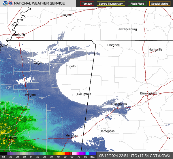
Current Radar Image
Sun Almanac for Taylorville, Alabama
Sunrise: 06:46 AM
Sunset: 4:45 PM
Civil Sunrise:06:19 AM
Civil Sunset: 5:12 PM
Nautical Sunrise: 05:48 AM
Nautical Sunset: 5:43 PM
Astro Sunrise: 05:18 AM
Astro Sunset: 6:13 PM
Alabama's Current Temperatures
 Alabama's Satellite Image
 Alabama's Current Wind Direction
| National Summary |
of upper and lower values of current conditions amongst 6992 locations
in the contiguous United States |
|
High
Temp |
75° |
Palm Springs, California
|
|
Low
Temp |
0° |
Whitefield, New Hampshire
|
|
Wind
Speed |
45mph |
Cutbank, Montana
|
|
Wind
Gust |
78mph |
Cutbank, Montana
|
|
Wind
Chill |
-6° |
Cavalier Municipal A/P, North Dakota
and 1 other location
|
|
High
Pressure |
30.51Hg |
Salida Mountain, Colorado
|
|
Low
Pressure |
29.53Hg |
Crosby Municipal, North Dakota
and 1 other location
|
|
| # Locations Reporting Snow |
7 |
|
| # Locations Reporting Rain |
17 |
|
| # Locations Reporting Fog |
5 |
|
| Average Temperature in the Contiguous USA |
33° |
|
Any use of the information on this page is at your own risk. This information should not be relied upon in life-threatening situations, potential financial loss situations or in lieu of any officially disseminated information. Visit the
National Weather Service for official information.