Taylor Junction, California Weather
Current Conditions at
HAWTHORNE - (KHHR)
82°
Clear
as of 9:53 AM PDST
Rel. Humidity: 32%
Dew Point: 50°F
Visibility: 10 Miles
Pressure: 29.94 in.
Flight Rule: VFR
Cloud Level(s): Clear
Current Conditions at
BURBANK - (KBUR)
81°
Clear
as of 9:53 AM PDST
Rel. Humidity: 30%
Dew Point: 46°F
Visibility: 10 Miles
Pressure: 29.97 in.
Flight Rule: VFR
Cloud Level(s): Clear
Current Conditions at
PALMDALE - (KPMD)
66°
Clear
as of 9:53 AM PDST
Rel. Humidity: 37%
Dew Point: 39°F
Visibility: 10 Miles
Pressure: 30.15 in.
Flight Rule: VFR
Wind Data
6 MPH
330° Northwest
Cloud Level(s): Clear
Moon Almanac for Taylor Junction, California
Moon Phase: New Moon
Moon Illumination: 2%
Moon Age: 28.1 Days
Moon is currently above the horizon
Distance from Moon to Earth: 238,054 miles
Upcoming Lunar Events for
Taylor Junction: |
| Next Event | Event Time | Illum |
|
|
|
| High Moon: | 03:01 pm Tue | 2.0% |
| Moonset: | 08:56 pm Tue | 1.3% |
| Moonrise: | 09:43 am Wed | 0.3% |
| High Moon: | 03:47 pm Wed | 0.1% |
| New Moon: | 09:24 pm Wed | 0.0% |
| Moonset: | 10:02 pm Wed | 0.0% |
 | New Moon: Tue Feb 17 |
 | First Quarter: Tue Feb 24 |
 | Full Moon: Tue Mar 3 |
 | Last Quarter: Wed Mar 11 |
| New Moon: Wed Mar 18 |
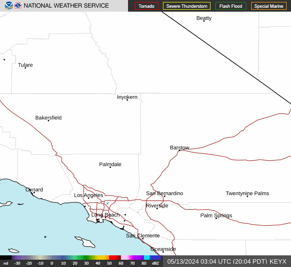
Current Radar Image
| California State Summary |
of upper and lower values of current conditions amongst 137 locations
in California |
|
High
Temp |
91° |
Palm Springs
and 1 other location
|
|
|
|
|
|
|
|
High
Pressure |
30.40Hg |
Mammoth Lakes
|
|
Low
Pressure |
29.89Hg |
Los Alamitos
|
|
| Average temperature in California |
71° |
|
# Locations Reporting LIFR
(Low Instrument Flight Rules) |
1 |
|
# Locations Reporting MVFR
(Marginal Visual Flight Rules) |
2 |
|
# Locations Reporting VFR
(Visual Flight Rules) |
134 |
|
California's Current Temperatures
 California's Satellite Image
 California's Current Wind Direction
| National Summary |
of upper and lower values of current conditions amongst 7103 locations
in the contiguous United States |
|
High
Temp |
91° |
Palm Springs, California
and 1 other location
|
|
Low
Temp |
7° |
Dodge Center, Minnesota
and 1 other location
|
|
Wind
Speed |
49mph |
Big Timber, Montana
|
|
Wind
Gust |
61mph |
Riverton, Wyoming
|
|
Wind
Chill |
-10° |
Madison Municipal, South Dakota
and 4 other locations
|
|
High
Pressure |
30.44Hg |
Vidalia/Concordi, Louisiana
|
|
Low
Pressure |
29.27Hg |
Frenchville, Maine
|
|
| # Locations Reporting Snow |
116 |
|
| # Locations Reporting Rain |
18 |
|
| # Locations Reporting Fog |
5 |
|
| Average Temperature in the Contiguous USA |
41° |
|
Any use of the information on this page is at your own risk. This information should not be relied upon in life-threatening situations, potential financial loss situations or in lieu of any officially disseminated information. Visit the
National Weather Service for official information.