Sutherlin, Virginia Weather
No Watches or Warnings for Sutherlin

Current Conditions at
DANVILLE - (KDAN)
Clear
as of 12:53 AM EST
Rel. Humidity: 35%
Dew Point: 3°F
Visibility: 10 Miles
Pressure: 30.13 in.
Flight Rule: VFR
Wind Data
9 MPH
320° Northwest
Cloud Level(s): Clear
Current Conditions at
ROXBORO - (KTDF)
28°
Clear
as of 1:15 AM EST
Rel. Humidity: 33%
Dew Point: 3°F
Visibility: 10 Miles
Pressure: 30.14 in.
Flight Rule: VFR
Wind Data
6 MPH
300° Northwest
Cloud Level(s): Clear
Current Conditions at
HENDERSON-OXFORD AP - (KHNZ)
25°
Clear
as of 1:15 AM EST
Rel. Humidity: 38%
Dew Point: 3°F
Visibility: 10 Miles
Pressure: 30.12 in.
Flight Rule: VFR
Wind Data
7 MPH
330° Northwest
Cloud Level(s): Clear
Current Conditions at
BURLINGTON - (KBUY)
27°
Clear
as of 12:54 AM EST
Rel. Humidity: 38%
Dew Point: 5°F
Visibility: 10 Miles
Pressure: 30.12 in.
Flight Rule: VFR
Wind Data
7 MPH
310° Northwest
Cloud Level(s): Clear
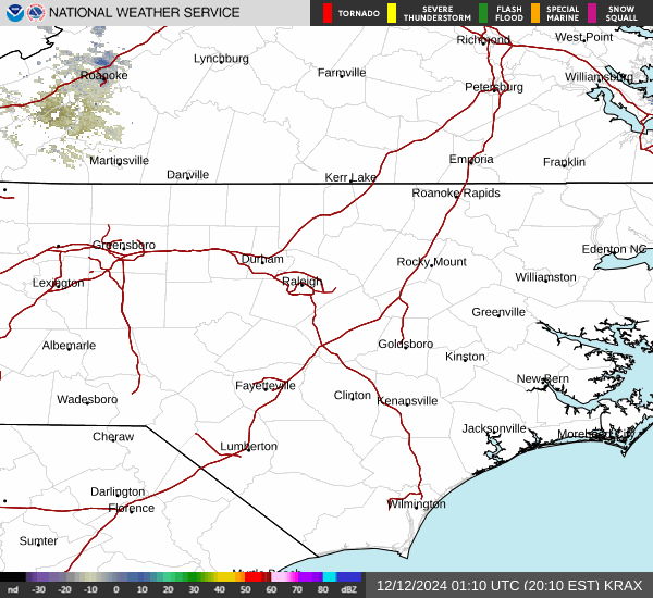
Current Radar Image
Sun Almanac for Sutherlin, Virginia
Sunrise: 12:21 AM
Sunset: 10:39 PM
Civil Sunrise:11:53 AM
Civil Sunset: 11:07 PM
Nautical Sunrise: 11:22 AM
Nautical Sunset: 11:38 PM
Astro Sunrise: 10:52 AM
Astro Sunset: 00:08 PM
Virginia's Current Temperatures
 Virginia's Satellite Image
 Virginia's Current Wind Direction
| National Summary |
of upper and lower values of current conditions amongst 7032 locations
in the contiguous United States |
|
High
Temp |
64° |
Keathley C 875, Louisiana
|
|
Low
Temp |
-22° |
Ely, Minnesota
|
|
Wind
Speed |
31mph |
Salida Mountain, Colorado
|
|
Wind
Gust |
40mph |
Amarillo, Texas
and 2 other locations
|
|
Wind
Chill |
-23° |
Grand Rapids, Minnesota
|
|
High
Pressure |
30.47Hg |
Elk City, Idaho
|
|
Low
Pressure |
29.65Hg |
Midlothian, Texas
|
|
| # Locations Reporting Snow |
86 |
|
| # Locations Reporting Rain |
15 |
|
| # Locations Reporting Fog |
4 |
|
| Average Temperature in the Contiguous USA |
23° |
|
Any use of the information on this page is at your own risk. This information should not be relied upon in life-threatening situations, potential financial loss situations or in lieu of any officially disseminated information. Visit the
National Weather Service for official information.