No Watches or Warnings for Sundown
Issued: 11:11 pm PDT Jul 1, 2025 Latitude: 37.6268937 Longitude: -115.8047575 View on Google Maps
|
|
|
|
|
|
|
|
|
|
 |
 |
 |
|
|
|
|
|
| Low: °F |
High: °F |
High: °F |
High: °F |
High: °F |
High: °F |
High: °F |
High: °F |
| Low: °F |
Low: °F |
Low: °F |
Low: °F |
Low: °F |
Low: °F |
|
| Thunderstorms |
Thunderstorms |
Sunny |
Sunny |
Sunny |
Sunny |
Sunny |
Sunny |
Current Conditions at
MERCURY - (KDRA)
90°
Clear
as of 10:53 PM PDST
Rel. Humidity: 22%
Dew Point: 46°F
Visibility: 10 Miles
Pressure: 29.86 in.
Flight Rule: VFR
Wind Data
17 MPH
Gust: 29 MPH
090° East
Cloud Level(s): Clear
Current Conditions at
INDIAN SPRINGS - (KINS)
88°
Cloudy
as of 10:55 PM PDST
Rel. Humidity: 20%
Dew Point: 43°F
Visibility: 10 Miles
Pressure: 29.89 in.
Flight Rule: VFR
Wind Data
20 MPH
Gust: 26 MPH
130° Southeast
Cloud Level(s): Broken at 12000ft, Solid Overcast at 15000ft
|
Overnight... A 30 percent chance of showers and thunderstorms, mainly after 5am. Mostly cloudy, with a low around 63. South southeast wind around 6 mph. |
|
|
Wednesday... A 50 percent chance of showers and thunderstorms, mainly after 1pm. Mostly cloudy, with a high near 84. Southwest wind 6 to 10 mph becoming east in the morning. |
|
 |
Wednesday Night... A slight chance of thunderstorms before 8pm. Partly cloudy, with a low around 57. Southeast wind 5 to 7 mph becoming calm after midnight. Chance of precipitation is 10%. |
|
|
Thursday... Sunny, with a high near 90. Light south wind becoming south southwest 9 to 14 mph in the morning. Winds could gust as high as 21 mph. |
|
 |
Thursday Night... Mostly clear, with a low around 60. South southwest wind 6 to 14 mph, with gusts as high as 21 mph. |
|
|
Independence Day... Sunny, with a high near 89. Breezy. |
|
|
Friday Night... Mostly clear, with a low around 56. |
|
|
Saturday... Sunny, with a high near 90. |
|
|
Saturday Night... Mostly clear, with a low around 55. |
|
|
Sunday... Sunny, with a high near 93. |
|
|
Sunday Night... Mostly clear, with a low around 56. |
|
|
Monday... Sunny, with a high near 95. |
|
|
Monday Night... Mostly clear, with a low around 59. |
|
|
Tuesday... Sunny, with a high near 97. |
|
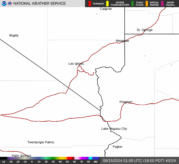
Current Radar Image
Sun Almanac for Sundown, Nevada
Sunrise: 05:26 AM
Sunset: 8:09 PM
Civil Sunrise:04:55 AM
Civil Sunset: 8:40 PM
Nautical Sunrise: 04:17 AM
Nautical Sunset: 9:18 PM
Astro Sunrise: 03:33 AM
Astro Sunset: 10:02 PM
Nevada's Current Temperatures
 Nevada's Satellite Image
 Nevada's Current Wind Direction
| National Summary |
of upper and lower values of current conditions amongst 7011 locations
in the contiguous United States |
|
High
Temp |
102° |
Luke AFB, Arizona
|
|
Low
Temp |
43° |
Leadville, Colorado
|
|
Wind
Speed |
25mph |
Aberdeen, South Dakota
and 1 other location
|
|
Wind
Gust |
48mph |
Valentine, Nebraska
|
|
Wind
Chill |
45° |
La Veta Mountain, Colorado
|
|
High
Pressure |
30.76Hg |
Salida Mountain, Colorado
|
|
Low
Pressure |
29.60Hg |
Thermal, California
|
|
| # Locations Reporting Rain |
92 |
|
| # Locations Reporting Thunderstorms / Lightning |
9 |
|
| # Locations Reporting Fog |
20 |
|
| Average Temperature in the Contiguous USA |
70° |
|
Any use of the information on this page is at your own risk. This information should not be relied upon in life-threatening situations, potential financial loss situations or in lieu of any officially disseminated information. Visit the
National Weather Service for official information.