Silvertown, Georgia Weather
|
|
|
|
|
|
|
|
 |
 |
 |
 |
 |
 |
 |
 |
| Low: °F |
High: °F |
High: °F |
High: °F |
High: °F |
High: °F |
High: °F |
High: °F |
| Low: °F |
Low: °F |
Low: °F |
Low: °F |
Low: °F |
Low: °F |
|
| Thunderstorms |
Thunderstorms |
Thunderstorms |
Thunderstorms |
Thunderstorms |
Thunderstorms |
Sunny |
Mostly Sunny |
Current Conditions at
THOMSON - (KHQU)
70°
Mostly Cloudy
as of 4:15 AM EDST
Rel. Humidity: 88%
Dew Point: 66°F
Visibility: 10 Miles
Pressure: 30.02 in.
Flight Rule: VFR
Cloud Level(s): Broken at 8500ft
Current Conditions at
WASHINGTON-WILKES A/P - (KIIY)
66°
Cloudy
as of 4:15 AM EDST
Rel. Humidity: 100%
Dew Point: 66°F
Visibility: 10 Miles
Pressure: 30.03 in.
Flight Rule: VFR
Wind Data
3 MPH
240° Southwest
Cloud Level(s): Scattered at 1600ft, Broken at 4400ft, Solid Overcast at 8500ft
Current Conditions at
AUGUSTA DANIEL FIELD - (KDNL)
70°
Mostly Clear
as of 3:53 AM EDST
Rel. Humidity: 88%
Dew Point: 66°F
Visibility: 9 Miles
Pressure: 30.04 in.
Flight Rule: VFR
Wind Data
6 MPH
140° Southeast
Cloud Level(s): Few at 6000ft
|
Overnight... A 20 percent chance of showers and thunderstorms. Mostly cloudy, with a low around 63. South wind around 5 mph. |
|
|
Monday... A slight chance of showers between 9am and 10am, then a chance of showers and thunderstorms after 10am. Partly sunny, with a high near 84. Calm wind becoming southwest around 5 mph in the morning. Chance of precipitation is 40%. |
|
 |
Monday Night... A 40 percent chance of showers and thunderstorms, mainly before 1am. Partly cloudy, with a low around 65. South wind around 5 mph. |
|
|
Tuesday... A 20 percent chance of showers and thunderstorms after 3pm. Sunny, with a high near 89. Southwest wind 5 to 10 mph, with gusts as high as 15 mph. |
|
 |
Tuesday Night... A 10 percent chance of showers and thunderstorms before 8pm. Partly cloudy, with a low around 68. Southwest wind 5 to 10 mph. |
|
|
Wednesday... A 20 percent chance of showers and thunderstorms after 2pm. Mostly sunny, with a high near 89. |
|
 |
Wednesday Night... A 20 percent chance of showers and thunderstorms before 2am. Partly cloudy, with a low around 69. |
|
|
Thursday... A chance of showers and thunderstorms between 8am and 2pm, then showers likely and possibly a thunderstorm after 2pm. Partly sunny, with a high near 86. Chance of precipitation is 60%. |
|
 |
Thursday Night... Showers likely and possibly a thunderstorm before 8pm, then a chance of showers and thunderstorms after 8pm. Mostly cloudy, with a low around 64. Chance of precipitation is 60%. |
|
|
Friday... A 50 percent chance of showers and thunderstorms. Mostly sunny, with a high near 79. |
|
 |
Friday Night... Mostly clear, with a low around 52. |
|
|
Saturday... Sunny, with a high near 77. |
|
|
Saturday Night... Mostly clear, with a low around 52. |
|
|
Sunday... Mostly sunny, with a high near 78. |
|
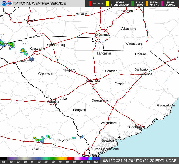
Current Radar Image
Sun Almanac for Silvertown, Georgia
Sunrise: 06:37 AM
Sunset: 8:17 PM
Civil Sunrise:06:10 AM
Civil Sunset: 8:44 PM
Nautical Sunrise: 05:38 AM
Nautical Sunset: 9:17 PM
Astro Sunrise: 05:04 AM
Astro Sunset: 9:51 PM
Georgia's Current Temperatures
 Georgia's Satellite Image
 Georgia's Current Wind Direction
| National Summary |
of upper and lower values of current conditions amongst 6998 locations
in the contiguous United States |
|
High
Temp |
84° |
Key West NAS, Florida
|
|
Low
Temp |
30° |
Kemmerer, Wyoming
and 8 other locations
|
|
Wind
Speed |
55mph |
Salida Mountain, Colorado
|
|
Wind
Gust |
63mph |
Salida Mountain, Colorado
|
|
Wind
Chill |
16° |
Telluride Regional, Colorado
|
|
High
Pressure |
30.82Hg |
Ottawa, Ohio
|
|
Low
Pressure |
29.35Hg |
Guernsey, Wyoming
and 1 other location
|
|
| # Locations Reporting Snow |
12 |
|
| # Locations Reporting Rain |
109 |
|
| # Locations Reporting Thunderstorms / Lightning |
3 |
|
| # Locations Reporting Fog |
77 |
|
| Average Temperature in the Contiguous USA |
57° |
|
Any use of the information on this page is at your own risk. This information should not be relied upon in life-threatening situations, potential financial loss situations or in lieu of any officially disseminated information. Visit the
National Weather Service for official information.