Shorewood Estates, Maryland Weather
Current Conditions at
ABERDEEN - (KAPG)
Mostly Cloudy
as of 10:55 AM EDST
Rel. Humidity: 52%
Dew Point: 28°F
Visibility: 10 Miles
Pressure: 30.17 in.
Flight Rule: VFR
Wind Data
16 MPH
Gust: 22 MPH
190° South
Cloud Level(s): Scattered at 10000ft, Broken at 20000ft
Current Conditions at
WILMINGTON - (KILG)
Clear
as of 10:51 AM EDST
Rel. Humidity: 48%
Dew Point: 25°F
Visibility: 10 Miles
Pressure: 30.18 in.
Flight Rule: VFR
Wind Data
13 MPH
160° South
Cloud Level(s): Clear
Current Conditions at
DOVER AFB - (KDOV)
Clear
as of 10:55 AM EDST
Rel. Humidity: 48%
Dew Point: 25°F
Visibility: 10 Miles
Pressure: 30.17 in.
Flight Rule: VFR
Wind Data
15 MPH
170° South
Cloud Level(s): Clear
Current Conditions at
GLENN MARTIN ARPT - (KMTN)
Clear
as of 10:46 AM EDST
Rel. Humidity: 48%
Dew Point: 27°F
Visibility: 10 Miles
Pressure: 30.19 in.
Flight Rule: VFR
Wind Data
15 MPH
Gust: 21 MPH
210° Southwest
Cloud Level(s): Clear
Moon Almanac for Shorewood Estates, Maryland
Moon Phase: Waning Crescent
Moon Illumination: 29%
Moon Age: 24.1 Days
Moon is currently above the horizon
Distance from Moon to Earth: 248,883 miles
Upcoming Lunar Events for
Shorewood Estates: |
| Next Event | Event Time | Illum |
|
|
|
| Moonset: | 01:26 pm Fri | 28.4% |
| Moonrise: | 05:01 am Sat | 22.8% |
| High Moon: | 09:43 am Sat | 21.2% |
| Moonset: | 02:31 pm Sat | 19.5% |
 | New Moon: Tue Feb 17 |
 | First Quarter: Tue Feb 24 |
 | Full Moon: Tue Mar 3 |
 | Last Quarter: Wed Mar 11 |
| New Moon: Wed Mar 18 |
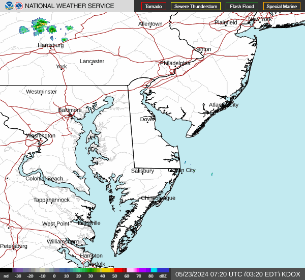
Current Radar Image
| Maryland State Summary |
of upper and lower values of current conditions amongst 21 locations
in Maryland |
|
High
Temp |
46° |
Baltimore Inner Harbor
|
|
Low
Temp |
30° |
Greater Cumberland Arpt
|
|
Wind
Speed |
20mph |
Andrews AFB
|
|
Wind
Gust |
26mph |
Us Naval Academy
|
|
Wind
Chill |
22° |
Garrett Cnty A/P
|
|
High
Pressure |
30.22Hg |
Salisbury
|
|
Low
Pressure |
29.86Hg |
Garrett Cnty A/P
|
|
| Average temperature in Maryland |
42° |
|
# Locations Reporting VFR
(Visual Flight Rules) |
21 |
|
Maryland's Current Temperatures
 Maryland's Satellite Image
 Maryland's Current Wind Direction
| National Summary |
of upper and lower values of current conditions amongst 7046 locations
in the contiguous United States |
|
High
Temp |
82° |
Homestead AFB, Florida
|
|
Low
Temp |
7° |
Robertson Field, North Dakota
and 2 other locations
|
|
Wind
Speed |
46mph |
Marion, Indiana
|
|
Wind
Gust |
59mph |
Fort Wayne, Indiana
and 3 other locations
|
|
Wind
Chill |
-10° |
Fosston, Minnesota
|
|
High
Pressure |
30.40Hg |
Pagosa Springs, Colorado
|
|
Low
Pressure |
29.10Hg |
Ephraim, Wisconsin
and 1 other location
|
|
| # Locations Reporting Snow |
128 |
|
| # Locations Reporting Rain |
39 |
|
| # Locations Reporting Fog |
25 |
|
| Average Temperature in the Contiguous USA |
45° |
|
Any use of the information on this page is at your own risk. This information should not be relied upon in life-threatening situations, potential financial loss situations or in lieu of any officially disseminated information. Visit the
National Weather Service for official information.