No Watches or Warnings for Sardis
|
|
|
|
|
|
|
|
 |
 |
 |
 |
 |
|
|
 |
| Low: °F |
High: °F |
High: °F |
High: °F |
High: °F |
High: °F |
High: °F |
High: °F |
| Low: °F |
Low: °F |
Low: °F |
Low: °F |
Low: °F |
Low: °F |
|
| Cloudy |
Morning Fog |
Thunderstorms |
Thunderstorms |
Sunny |
Sunny |
Thunderstorms |
Rain |
Current Conditions at
SYLVANIA - (KJYL)
55°
Clear
as of 3:15 AM EDST
Rel. Humidity: 100%
Dew Point: 55°F
Visibility: 10 Miles
Pressure: 30.17 in.
Flight Rule: VFR
Cloud Level(s): Clear
Current Conditions at
AUGUSTA BUSH FIELD - (KAGS)
54°
Clear
as of 2:53 AM EDST
Rel. Humidity: 93%
Dew Point: 52°F
Visibility: 10 Miles
Pressure: 30.16 in.
Flight Rule: VFR
Cloud Level(s): Clear
Current Conditions at
STATESBORO - (KTBR)
55°
Clear
as of 3:02 AM EDST
Rel. Humidity: 93%
Dew Point: 54°F
Visibility: 10 Miles
Pressure: 30.15 in.
Flight Rule: VFR
Cloud Level(s): Clear
Current Conditions at
AUGUSTA DANIEL FIELD - (KDNL)
59°
Clear
as of 2:53 AM EDST
Rel. Humidity: 82%
Dew Point: 54°F
Visibility: 10 Miles
Pressure: 30.18 in.
Flight Rule: VFR
Cloud Level(s): Clear
|
Overnight... Partly cloudy, with a low around 56. Southeast wind around 5 mph. |
|
|
Monday... Patchy fog before 8am. Otherwise, mostly sunny, with a high near 82. Calm wind becoming south 5 to 9 mph in the morning. |
|
 |
Monday Night... Mostly clear, with a low around 59. Southeast wind 6 to 9 mph. |
|
|
Tuesday... A slight chance of showers, then a chance of showers and thunderstorms after 2pm. Partly sunny, with a high near 85. Southwest wind 3 to 8 mph. Chance of precipitation is 30%. New rainfall amounts between a tenth and quarter of an inch, except higher amounts possible in thunderstorms. |
|
 |
Tuesday Night... A chance of showers and thunderstorms before 2am. Partly cloudy, with a low around 61. Light south wind. Chance of precipitation is 30%. New rainfall amounts between a quarter and half of an inch possible. |
|
|
Wednesday... A slight chance of showers between 8am and 2pm, then a slight chance of showers and thunderstorms after 2pm. Sunny, with a high near 86. Chance of precipitation is 20%. |
|
|
Wednesday Night... Mostly clear, with a low around 59. |
|
|
Thursday... Sunny, with a high near 90. |
|
|
Thursday Night... Mostly clear, with a low around 60. |
|
|
Friday... Sunny, with a high near 88. |
|
|
Friday Night... Partly cloudy, with a low around 63. |
|
|
Saturday... A chance of showers and thunderstorms. Partly sunny, with a high near 87. Chance of precipitation is 30%. |
|
|
Saturday Night... A chance of showers and thunderstorms. Partly cloudy, with a low around 62. Chance of precipitation is 30%. |
|
|
Sunday... A chance of showers. Mostly sunny, with a high near 86. Chance of precipitation is 30%. |
|
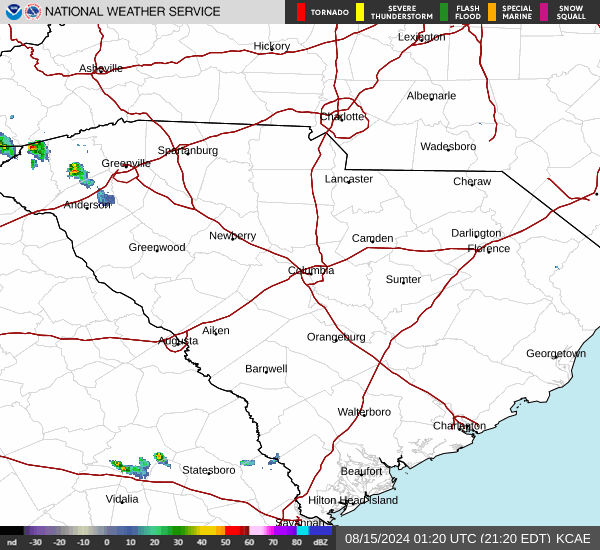
Current Radar Image
Sun Almanac for Sardis, Georgia
Sunrise: 06:41 AM
Sunset: 8:08 PM
Civil Sunrise:06:14 AM
Civil Sunset: 8:34 PM
Nautical Sunrise: 05:43 AM
Nautical Sunset: 9:06 PM
Astro Sunrise: 05:10 AM
Astro Sunset: 9:38 PM
Georgia's Current Temperatures
 Georgia's Satellite Image
 Georgia's Current Wind Direction
| National Summary |
of upper and lower values of current conditions amongst 6962 locations
in the contiguous United States |
|
High
Temp |
81° |
Kingsville NAS, Texas
and 4 other locations
|
|
Low
Temp |
19° |
Berthoud Pass, Colorado
|
|
Wind
Speed |
38mph |
Duluth Sky Harbor, Minnesota
|
|
Wind
Gust |
52mph |
Cloquet, Minnesota
|
|
Wind
Chill |
0° |
Berthoud Pass, Colorado
|
|
High
Pressure |
30.25Hg |
Pagosa Springs, Colorado
and 1 other location
|
|
Low
Pressure |
29.65Hg |
Tracy, Minnesota
and 1 other location
|
|
| # Locations Reporting Snow |
9 |
|
| # Locations Reporting Rain |
136 |
|
| # Locations Reporting Thunderstorms / Lightning |
12 |
|
| # Locations Reporting Fog |
38 |
|
| Average Temperature in the Contiguous USA |
56° |
|
Any use of the information on this page is at your own risk. This information should not be relied upon in life-threatening situations, potential financial loss situations or in lieu of any officially disseminated information. Visit the
National Weather Service for official information.