Saint George, Alaska Weather
Current Conditions at
ST GEORGE ISLAND - (PAPB)
14°
Partly Cloudy
as of 12:39 AM ADST
Rel. Humidity: 78%
Dew Point: 9°F
Visibility: 10 Miles
Pressure: 30.79 in.
Flight Rule: VFR
Cloud Level(s): Scattered at 1700ft
Current Conditions at
ST PAUL ISLAND - (PASN)
10°
Cloudy
as of 11:53 PM ADST
Rel. Humidity: 84%
Dew Point: 7°F
Visibility: 10 Miles
Pressure: 30.81 in.
Flight Rule: VFR
Wind Data
7 MPH
330° Northwest
Cloud Level(s): Broken at 9000ft, Solid Overcast at 12000ft
Current Conditions at
DUTCH HARBOR/UNAK - (PADU)
Cloudy
Light Snow
as of 12:05 AM ADST
Rel. Humidity: 73%
Dew Point: 18°F
Visibility: 9 Miles
Pressure: 30.70 in.
Flight Rule: MVFR
Wind Data
26 MPH
Gust: 35 MPH
330° Northwest
Cloud Level(s): Solid Overcast at 2800ft
Current Conditions at
COLD BAY - (PACD)
Cloudy
Unknown Precip
as of 11:53 PM ADST
Rel. Humidity: 78%
Dew Point: 9°F
Visibility: 5 Miles
Pressure: 30.52 in.
Flight Rule: MVFR
Wind Data
23 MPH
Gust: 33 MPH
340° North
Cloud Level(s): Broken at 2000ft, Solid Overcast at 2500ft
Moon Almanac for Saint George, Alaska
Moon Phase: Last Quarter
Moon Illumination: 50%
Moon Age: 22.1 Days
Moon is currently below the horizon
Distance from Moon to Earth: 251,709 miles
Upcoming Lunar Events for
Saint George: |
| Next Event | Event Time | Illum |
|
|
|
| Last Quarter: | 05:39 am Wed | 50.0% |
| Moonrise: | 11:13 am Wed | 47.8% |
| High Moon: | 01:37 pm Wed | 46.8% |
| Moonset: | 04:00 pm Wed | 45.9% |
 | New Moon: Tue Feb 17 |
 | First Quarter: Tue Feb 24 |
 | Full Moon: Tue Mar 3 |
 | Last Quarter: Wed Mar 11 |
| New Moon: Wed Mar 18 |
Alaska's Current Temperatures
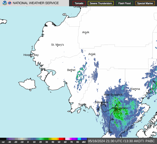
 Alaska's Satellite Image
 Alaska's Current Wind Direction
| National Summary |
of upper and lower values of current conditions amongst 6382 locations
in the contiguous United States |
|
High
Temp |
79° |
Key West Intl, Florida
and 1 other location
|
|
Low
Temp |
-6° |
Yellowstone, Wyoming
|
|
Wind
Speed |
52mph |
Salida Mountain, Colorado
|
|
Wind
Gust |
63mph |
Salida Mountain, Colorado
|
|
Wind
Chill |
-11° |
Dakota Hill, Colorado
|
|
High
Pressure |
30.51Hg |
Charlie, Montana
|
|
Low
Pressure |
29.56Hg |
Gary, Indiana
|
|
| # Locations Reporting Snow |
98 |
|
| # Locations Reporting Rain |
159 |
|
| # Locations Reporting Thunderstorms / Lightning |
11 |
|
| # Locations Reporting Fog |
15 |
|
| Average Temperature in the Contiguous USA |
50° |
|
Any use of the information on this page is at your own risk. This information should not be relied upon in life-threatening situations, potential financial loss situations or in lieu of any officially disseminated information. Visit the
National Weather Service for official information.