Saint Elmo, Nevada Weather
Current Conditions at
TONOPAH - (KTPH)
45°
Clear
as of 8:56 AM PDST
Rel. Humidity: 70%
Dew Point: 36°F
Visibility: 10 Miles
Pressure: 29.85 in.
Flight Rule: VFR
Cloud Level(s): Clear
Current Conditions at
EUREKA - (KP68)
Cloudy
as of 8:53 AM PDST
Rel. Humidity: 86%
Dew Point: 28°F
Pressure: 29.87 in.
Wind Data
17 MPH
Gust: 25 MPH
010° North
Current Conditions at
BISHOP - (KBIH)
55°
Clear
as of 8:56 AM PDST
Rel. Humidity: 35%
Dew Point: 28°F
Visibility: 10 Miles
Pressure: 29.81 in.
Flight Rule: VFR
Cloud Level(s): Clear
Moon Almanac for Saint Elmo, Nevada
Moon Phase: Full Moon
Moon Illumination: 100%
Moon Age: 15.3 Days
Moon is currently below the horizon
Distance from Moon to Earth: 246,544 miles
Upcoming Lunar Events for
Saint Elmo: |
| Next Event | Event Time | Illum |
|
|
|
| Moonrise: | 11:15 pm Thu | 98.9% |
| High Moon: | 04:41 am Fri | 98.4% |
| Moonset: | 09:58 am Fri | 97.8% |
 | New Moon: Wed Mar 18 |
 | First Quarter: Wed Mar 25 |
 | Full Moon: Wed Apr 1 |
 | Last Quarter: Fri Apr 10 |
| New Moon: Fri Apr 17 |
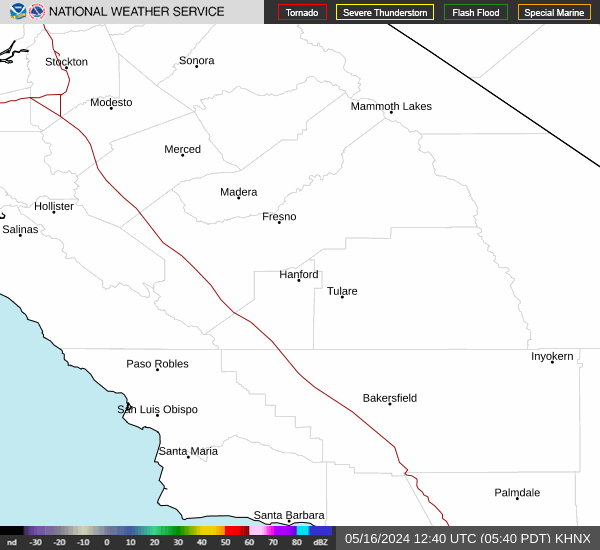
Current Radar Image
| Nevada State Summary |
of upper and lower values of current conditions amongst 14 locations
in Nevada |
|
|
|
|
|
Wind
Speed |
23mph |
FallonNAS
and 1 other location
|
|
Wind
Gust |
33mph |
Lovelock
and 1 other location
|
|
|
|
High
Pressure |
29.96Hg |
Lovelock
|
|
Low
Pressure |
29.76Hg |
Nellis AFB
|
|
| Average temperature in Nevada |
52° |
|
# Locations Reporting VFR
(Visual Flight Rules) |
14 |
|
Nevada's Current Temperatures
 Nevada's Satellite Image
 Nevada's Current Wind Direction
| National Summary |
of upper and lower values of current conditions amongst 6840 locations
in the contiguous United States |
|
High
Temp |
88° |
Harlingen, Texas
|
|
Low
Temp |
21° |
Berthoud Pass, Colorado
|
|
Wind
Speed |
38mph |
Berthoud Pass, Colorado
|
|
Wind
Gust |
55mph |
Berthoud Pass, Colorado
|
|
Wind
Chill |
0° |
Berthoud Pass, Colorado
|
|
Heat
Index |
91° |
Harlingen, Texas
|
|
High
Pressure |
30.66Hg |
Bar Harbor, Maine
|
|
Low
Pressure |
29.39Hg |
India, Montana
|
|
| # Locations Reporting Snow |
73 |
|
| # Locations Reporting Ice or Sleet |
1 |
|
| # Locations Reporting Rain |
182 |
|
| # Locations Reporting Thunderstorms / Lightning |
4 |
|
| # Locations Reporting Fog |
22 |
|
| Average Temperature in the Contiguous USA |
57° |
|
Any use of the information on this page is at your own risk. This information should not be relied upon in life-threatening situations, potential financial loss situations or in lieu of any officially disseminated information. Visit the
National Weather Service for official information.