Saint David, Arizona Weather
Current Conditions at
FT HUACHUCA - (KFHU)
64°
Clear
as of 8:55 PM MST
Rel. Humidity: 23%
Dew Point: 27°F
Visibility: 10 Miles
Pressure: 30.20 in.
Flight Rule: VFR
Wind Data
8 MPH
220° Southwest
Cloud Level(s): Clear
Current Conditions at
DAVIS-MONTHAN AFB - (KDMA)
73°
Clear
as of 8:55 PM MST
Rel. Humidity: 25%
Dew Point: 36°F
Visibility: 10 Miles
Pressure: 30.07 in.
Flight Rule: VFR
Cloud Level(s): Clear
Current Conditions at
TUCSON - (KTUS)
73°
Clear
as of 8:53 PM MST
Rel. Humidity: 23%
Dew Point: 34°F
Visibility: 10 Miles
Pressure: 30.08 in.
Flight Rule: VFR
Cloud Level(s): Clear
Current Conditions at
DOUGLAS - (KDUG)
57°
Clear
as of 8:56 PM MST
Rel. Humidity: 50%
Dew Point: 39°F
Visibility: 10 Miles
Pressure: 30.16 in.
Flight Rule: VFR
Cloud Level(s): Clear
Moon Almanac for Saint David, Arizona
Moon Phase: Waning Crescent
Moon Illumination: 33%
Moon Age: 23.7 Days
Moon is currently below the horizon
Distance from Moon to Earth: 249,647 miles
Upcoming Lunar Events for
Saint David: |
| Next Event | Event Time | Illum |
|
|
|
| Moonrise: | 06:18 am Fri | 31.0% |
| High Moon: | 11:15 am Fri | 29.2% |
| Moonset: | 04:14 pm Fri | 27.3% |
 | New Moon: Tue Feb 17 |
 | First Quarter: Tue Feb 24 |
 | Full Moon: Tue Mar 3 |
 | Last Quarter: Wed Mar 11 |
| New Moon: Wed Mar 18 |
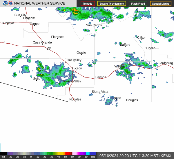
Current Radar Image
| Arizona State Summary |
of upper and lower values of current conditions amongst 40 locations
in Arizona |
|
|
|
|
|
Wind
Speed |
13mph |
Springerville
|
|
Wind
Gust |
18mph |
Sedona A/P
|
|
Wind
Chill |
33° |
Springerville
|
|
High
Pressure |
30.33Hg |
Springerville
and 2 other locations
|
|
Low
Pressure |
29.97Hg |
Luke AFB
|
|
| Average temperature in Arizona |
63° |
|
# Locations Reporting VFR
(Visual Flight Rules) |
40 |
|
Arizona's Current Temperatures
 Arizona's Satellite Image
 Arizona's Current Wind Direction
| National Summary |
of upper and lower values of current conditions amongst 6920 locations
in the contiguous United States |
|
High
Temp |
82° |
Yuma Mcas, Arizona
|
|
Low
Temp |
10° |
Chippewa Intl Arpt, Michigan
|
|
Wind
Speed |
54mph |
Sisseton, South Dakota
|
|
Wind
Gust |
74mph |
Sisseton, South Dakota
|
|
Wind
Chill |
-1° |
Rolla Municipal A/P, North Dakota
|
|
High
Pressure |
30.44Hg |
Pagosa Springs, Colorado
|
|
Low
Pressure |
29.13Hg |
Staples, Minnesota
|
|
| # Locations Reporting Snow |
100 |
|
| # Locations Reporting Rain |
64 |
|
| # Locations Reporting Fog |
16 |
|
| Average Temperature in the Contiguous USA |
44° |
|
Any use of the information on this page is at your own risk. This information should not be relied upon in life-threatening situations, potential financial loss situations or in lieu of any officially disseminated information. Visit the
National Weather Service for official information.