Rodeo, New Mexico Weather
No Watches or Warnings for Rodeo
Issued: 5:19 pm MDT Jul 5, 2025 Latitude: 31.8353718 Longitude: -109.0311699 View on Google Maps
|
|
|
|
|
|
|
|
|
|
 |
 |
 |
 |
|
|
|
 |
| Low: °F |
High: °F |
High: °F |
High: °F |
High: °F |
High: °F |
High: °F |
High: °F |
| Low: °F |
Low: °F |
Low: °F |
Low: °F |
Low: °F |
Low: °F |
|
| Cloudy |
Thunderstorms |
Thunderstorms |
Thunderstorms |
Thunderstorms |
Thunderstorms |
Thunderstorms |
Thunderstorms |
Current Conditions at
DOUGLAS - (KDUG)
84°
Mostly Clear
as of 4:56 PM MST
Rel. Humidity: 37%
Dew Point: 55°F
Visibility: 10 Miles
Pressure: 30.09 in.
Flight Rule: VFR
Wind Data
23 MPH
Gust: 31 MPH
320° Northwest
Cloud Level(s): Few at 1000ft
Current Conditions at
SILVER CITY - (KSVC)
91°
Clear
as of 5:55 PM MDST
Rel. Humidity: 13%
Dew Point: 34°F
Visibility: 10 Miles
Pressure: 30.15 in.
Flight Rule: VFR
Wind Data
5 MPH
Gust: 17 MPH
250° West
Cloud Level(s): Clear
Current Conditions at
FT HUACHUCA - (KFHU)
73°
Cloudy
as of 4:53 PM MST
Rel. Humidity: 64%
Dew Point: 61°F
Visibility: 8 Miles
Pressure: 30.18 in.
Flight Rule: VFR
Cloud Level(s): Solid Overcast at 10000ft
Current Conditions at
SAFFORD - (KSAD)
100°
Clear
as of 4:51 PM MST
Rel. Humidity: 16%
Dew Point: 46°F
Visibility: 10 Miles
Pressure: 29.94 in.
Flight Rule: VFR
Cloud Level(s): Clear
|
Tonight... Partly cloudy, with a low around 68. Light and variable wind. |
|
|
Sunday... A 40 percent chance of showers and thunderstorms, mainly after 2pm. Sunny, with a high near 99. Calm wind becoming west southwest around 5 mph in the afternoon. |
|
 |
Sunday Night... A 50 percent chance of showers and thunderstorms before midnight. Partly cloudy, with a low around 69. West wind around 6 mph becoming calm in the evening. New precipitation amounts of less than a tenth of an inch, except higher amounts possible in thunderstorms. |
|
|
Monday... A 50 percent chance of showers and thunderstorms after noon. Sunny, with a high near 100. Calm wind becoming west northwest around 5 mph in the afternoon. |
|
|
Monday Night... A 50 percent chance of showers and thunderstorms before midnight. Partly cloudy, with a low around 69. West wind around 5 mph becoming calm after midnight. |
|
|
Tuesday... A 30 percent chance of showers and thunderstorms after noon. Sunny and hot, with a high near 102. Calm wind becoming north around 5 mph in the afternoon. |
|
|
Tuesday Night... A 50 percent chance of showers and thunderstorms before midnight. Partly cloudy, with a low around 71. Northeast wind around 5 mph becoming calm in the evening. |
|
|
Wednesday... A 30 percent chance of showers and thunderstorms after noon. Sunny and hot, with a high near 103. Calm wind becoming northeast around 5 mph in the afternoon. |
|
 |
Wednesday Night... A 40 percent chance of showers and thunderstorms before midnight. Partly cloudy, with a low around 71. Northeast wind around 6 mph becoming south southwest after midnight. |
|
|
Thursday... A 40 percent chance of showers and thunderstorms after noon. Sunny and hot, with a high near 104. |
|
|
Thursday Night... A 40 percent chance of showers and thunderstorms. Partly cloudy, with a low around 72. |
|
|
Friday... A 50 percent chance of showers and thunderstorms. Sunny and hot, with a high near 103. |
|
 |
Friday Night... Showers and thunderstorms likely. Mostly cloudy, with a low around 69. Chance of precipitation is 60%. |
|
|
Saturday... Showers and thunderstorms likely. Mostly sunny, with a high near 100. Chance of precipitation is 60%. |
|
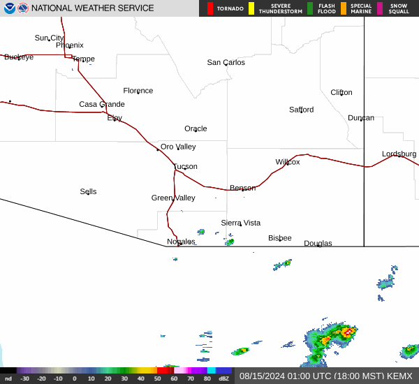
Current Radar Image
Sun Almanac for Rodeo, New Mexico
Sunrise: 06:16 AM
Sunset: 8:25 PM
Civil Sunrise:05:48 AM
Civil Sunset: 8:53 PM
Nautical Sunrise: 05:14 AM
Nautical Sunset: 9:28 PM
Astro Sunrise: 04:37 AM
Astro Sunset: 10:04 PM
New Mexico's Current Temperatures
 New Mexico's Satellite Image
 New Mexico's Current Wind Direction
| National Summary |
of upper and lower values of current conditions amongst 6093 locations
in the contiguous United States |
|
High
Temp |
109° |
Palm Springs, California
|
|
Low
Temp |
50° |
West Yellowstone, Montana
|
|
Wind
Speed |
26mph |
Sheridan, Wyoming
|
|
Wind
Gust |
46mph |
Monroe, Wisconsin
|
|
Heat
Index |
110° |
Corning Municipal A/P, Arkansas
|
|
High
Pressure |
30.78Hg |
Salida Mountain, Colorado
|
|
Low
Pressure |
29.78Hg |
Munising, Michigan
|
|
| # Locations Reporting Rain |
81 |
|
| # Locations Reporting Thunderstorms / Lightning |
23 |
|
| # Locations Reporting Fog |
2 |
|
| Average Temperature in the Contiguous USA |
83° |
|
Any use of the information on this page is at your own risk. This information should not be relied upon in life-threatening situations, potential financial loss situations or in lieu of any officially disseminated information. Visit the
National Weather Service for official information.