Rock Canyon, New Mexico Weather
No Watches or Warnings for Rock Canyon
Issued: 12:17 am MDT Jul 4, 2025 Latitude: 33.2236835 Longitude: -107.2094759 View on Google Maps
|
|
|
|
|
|
|
|
|
|
 |
 |
|
|
 |
 |
 |
|
| Low: °F |
High: °F |
High: °F |
High: °F |
High: °F |
High: °F |
High: °F |
High: °F |
| Low: °F |
Low: °F |
Low: °F |
Low: °F |
Low: °F |
Low: °F |
|
| Mostly Clear |
Sunny |
Sunny |
Sunny |
Thunderstorms |
Thunderstorms |
Thunderstorms |
Thunderstorms |
Current Conditions at
TRUTH OR CONSQ - (KTCS)
72°
Mostly Clear
as of 1:53 AM MDST
Rel. Humidity: 46%
Dew Point: 50°F
Visibility: 10 Miles
Pressure: 30.10 in.
Flight Rule: VFR
Wind Data
14 MPH
320° Northwest
Cloud Level(s): Few at 11000ft
Current Conditions at
SILVER CITY - (KSVC)
68°
Clear
as of 2:15 AM MDST
Rel. Humidity: 60%
Dew Point: 54°F
Visibility: 10 Miles
Pressure: 30.18 in.
Flight Rule: VFR
Wind Data
9 MPH
310° Northwest
Cloud Level(s): Clear
Current Conditions at
LAS CRUCES - (KLRU)
75°
Clear
as of 2:15 AM MDST
Rel. Humidity: 44%
Dew Point: 52°F
Visibility: 10 Miles
Pressure: 30.08 in.
Flight Rule: VFR
Cloud Level(s): Clear
Current Conditions at
HOLLOMAN AFB - (KHMN)
75°
Partly Cloudy
as of 1:55 AM MDST
Rel. Humidity: 57%
Dew Point: 59°F
Visibility: 10 Miles
Pressure: 30.06 in.
Flight Rule: VFR
Wind Data
10 MPH
020° North
Cloud Level(s): Scattered at 13000ft
|
Overnight... Mostly clear, with a low around 67. Northwest wind around 8 mph. |
|
|
Independence Day... Sunny, with a high near 92. West northwest wind 5 to 9 mph becoming northeast in the afternoon. Winds could gust as high as 20 mph. |
|
|
Friday Night... Mostly clear, with a low around 69. West northwest wind 7 to 10 mph. |
|
|
Saturday... Sunny, with a high near 95. North northwest wind 5 to 10 mph becoming southeast in the afternoon. |
|
|
Saturday Night... Mostly clear, with a low around 70. South southeast wind around 6 mph becoming light and variable. |
|
|
Sunday... Sunny, with a high near 97. North wind 6 to 9 mph becoming south in the afternoon. |
|
 |
Sunday Night... A 20 percent chance of showers and thunderstorms before midnight. Partly cloudy, with a low around 73. South wind 6 to 10 mph. |
|
|
Monday... A 50 percent chance of showers and thunderstorms after noon. Sunny, with a high near 96. South wind 5 to 9 mph. |
|
 |
Monday Night... A 40 percent chance of showers and thunderstorms before midnight. Partly cloudy, with a low around 71. South wind 5 to 10 mph. |
|
|
Tuesday... A 30 percent chance of showers and thunderstorms after noon. Sunny, with a high near 96. |
|
 |
Tuesday Night... A 20 percent chance of showers and thunderstorms. Mostly clear, with a low around 73. |
|
|
Wednesday... A 20 percent chance of showers and thunderstorms. Sunny, with a high near 98. |
|
|
Wednesday Night... A 20 percent chance of showers and thunderstorms. Mostly clear, with a low around 74. |
|
|
Thursday... A 20 percent chance of showers and thunderstorms. Sunny, with a high near 99. |
|
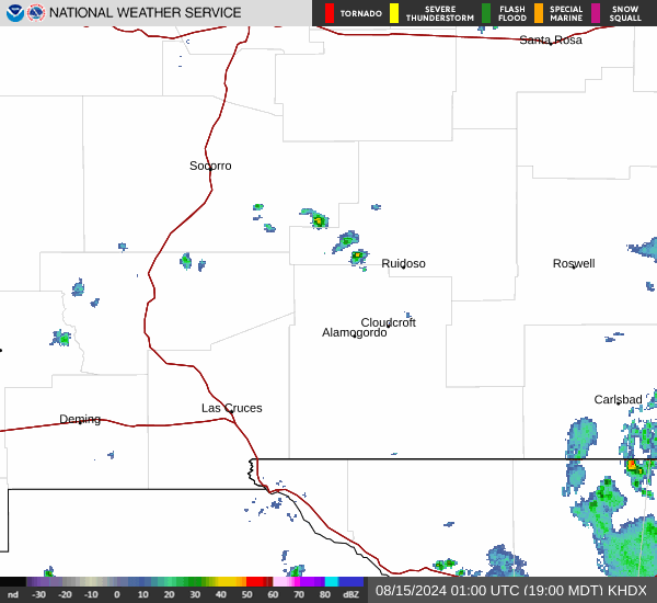
Current Radar Image
Sun Almanac for Rock Canyon, New Mexico
Sunrise: 06:05 AM
Sunset: 8:22 PM
Civil Sunrise:05:36 AM
Civil Sunset: 8:50 PM
Nautical Sunrise: 05:01 AM
Nautical Sunset: 9:25 PM
Astro Sunrise: 04:23 AM
Astro Sunset: 10:04 PM
New Mexico's Current Temperatures
 New Mexico's Satellite Image
 New Mexico's Current Wind Direction
| National Summary |
of upper and lower values of current conditions amongst 7025 locations
in the contiguous United States |
|
High
Temp |
91° |
Lake Havasu City, Arizona
and 1 other location
|
|
Low
Temp |
41° |
Bryce Canyon, Utah
and 1 other location
|
|
Wind
Speed |
33mph |
Byron, California
|
|
Wind
Gust |
41mph |
Byron, California
|
|
Wind
Chill |
34° |
Salida Mountain, Colorado
and 1 other location
|
|
Heat
Index |
94° |
Garden Banks172, Louisiana
and 1 other location
|
|
High
Pressure |
30.59Hg |
Salida Mountain, Colorado
|
|
Low
Pressure |
29.61Hg |
Grand Forks AFB, North Dakota
|
|
| # Locations Reporting Snow |
1 |
|
| # Locations Reporting Rain |
47 |
|
| # Locations Reporting Thunderstorms / Lightning |
17 |
|
| # Locations Reporting Fog |
15 |
|
| Average Temperature in the Contiguous USA |
69° |
|
Any use of the information on this page is at your own risk. This information should not be relied upon in life-threatening situations, potential financial loss situations or in lieu of any officially disseminated information. Visit the
National Weather Service for official information.