Red Bluff, South Carolina Weather
No Watches or Warnings for Red Bluff
Issued: 6:01 am EST Dec 15, 2025 Latitude: 34.6112724 Longitude: -79.5056056 View on Google Maps
|
|
|
|
|
|
|
|
|
|
 |
 |
|
 |
 |
|
|
|
| High: °F |
Low: °F |
High: °F |
High: °F |
High: °F |
High: °F |
High: °F |
High: °F |
| Low: °F |
Low: °F |
Low: °F |
Low: °F |
Low: °F |
|
| Sunny |
Mostly Clear |
Sunny |
Mostly Sunny |
Partly Sunny |
Sunny |
Sunny |
Mostly Sunny |
Current Conditions at
DARLINGTON - (KUDG)
25°
Clear
as of 9:56 AM EST
Rel. Humidity: 41%
Dew Point: 5°F
Visibility: 10 Miles
Pressure: 30.58 in.
Flight Rule: VFR
Cloud Level(s): Clear
Current Conditions at
LUMBERTON - (KLBT)
25°
Clear
as of 9:56 AM EST
Rel. Humidity: 35%
Dew Point: 1°F
Visibility: 10 Miles
Pressure: 30.55 in.
Flight Rule: VFR
Cloud Level(s): Clear
Current Conditions at
HOFFMAN - (KHFF)
25°
Clear
as of 9:55 AM EST
Rel. Humidity: 35%
Dew Point: 1°F
Visibility: 10 Miles
Pressure: 30.51 in.
Flight Rule: VFR
Cloud Level(s): Clear
|
Today... Sunny, with a high near 36. North wind 5 to 7 mph becoming calm in the afternoon. |
|
|
Tonight... Mostly clear, with a low around 22. Calm wind. |
|
|
Tuesday... Sunny, with a high near 48. Calm wind becoming southwest around 5 mph. |
|
|
Tuesday Night... Mostly clear, with a low around 29. Calm wind becoming southwest around 5 mph after midnight. |
|
|
Wednesday... Mostly sunny, with a high near 57. Southwest wind 6 to 8 mph. |
|
 |
Wednesday Night... Mostly cloudy, with a low around 37. |
|
|
Thursday... A chance of showers before 1pm. Partly sunny, with a high near 65. Chance of precipitation is 30%. |
|
 |
Thursday Night... Showers likely, mainly after 1am. Mostly cloudy, with a low around 48. Chance of precipitation is 60%. |
|
|
Friday... Sunny, with a high near 58. |
|
|
Friday Night... Mostly clear, with a low around 29. |
|
|
Saturday... Sunny, with a high near 55. |
|
|
Saturday Night... Mostly clear, with a low around 40. |
|
|
Sunday... Mostly sunny, with a high near 66. |
|
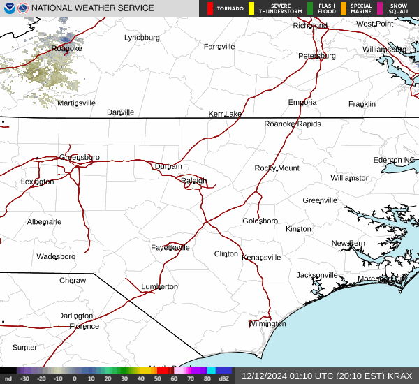
Current Radar Image
Sun Almanac for Red Bluff, South Carolina
Sunrise: 07:18 AM
Sunset: 5:09 PM
Civil Sunrise:06:50 AM
Civil Sunset: 5:37 PM
Nautical Sunrise: 06:18 AM
Nautical Sunset: 6:08 PM
Astro Sunrise: 05:48 AM
Astro Sunset: 6:39 PM
South Carolina's Current Temperatures
 South Carolina's Satellite Image
 South Carolina's Current Wind Direction
| National Summary |
of upper and lower values of current conditions amongst 7320 locations
in the contiguous United States |
|
High
Temp |
72° |
Homestead AFB, Florida
and 8 other locations
|
|
Low
Temp |
0° |
Gunnison, Colorado
|
|
Wind
Speed |
35mph |
Whidbey IsNAS, Washington
and 1 other location
|
|
Wind
Gust |
58mph |
Astoria, Oregon
|
|
Wind
Chill |
-13° |
Champaign, Illinois
|
|
High
Pressure |
30.62Hg |
Salida Mountain, Colorado
|
|
Low
Pressure |
29.61Hg |
Port Angeles Cga, Washington
|
|
| # Locations Reporting Snow |
67 |
|
| # Locations Reporting Rain |
43 |
|
| # Locations Reporting Fog |
34 |
|
| Average Temperature in the Contiguous USA |
28° |
|
Any use of the information on this page is at your own risk. This information should not be relied upon in life-threatening situations, potential financial loss situations or in lieu of any officially disseminated information. Visit the
National Weather Service for official information.