Quentin, Pennsylvania Weather
Current Conditions at
MUIR AAF - (KMUI)
30°
Cloudy
Light Freezing Rain Mist
as of 8:55 AM EST
Rel. Humidity: 100%
Dew Point: 30°F
Visibility: 5 Miles
Pressure: 30.48 in.
Flight Rule: IFR
Wind Data
6 MPH
060° Northeast
Cloud Level(s): Solid Overcast at 600ft
Current Conditions at
LANCASTER - (KLNS)
30°
Cloudy
Mist
as of 8:53 AM EST
Rel. Humidity: 92%
Dew Point: 28°F
Visibility: 7 Miles
Pressure: 30.50 in.
Flight Rule: MVFR
Cloud Level(s): Solid Overcast at 1100ft
Current Conditions at
MIDDLETWN/HARRISB - (KMDT)
30°
Cloudy
Light Freezing Rain Mist
as of 8:56 AM EST
Rel. Humidity: 92%
Dew Point: 28°F
Visibility: 3 Miles
Pressure: 30.50 in.
Flight Rule: IFR
Cloud Level(s): Solid Overcast at 900ft
Current Conditions at
HARRISBURG - (KCXY)
30°
Cloudy
Unknown Precip Mist
as of 9:03 AM EST
Rel. Humidity: 92%
Dew Point: 28°F
Visibility: 4 Miles
Pressure: 30.50 in.
Flight Rule: IFR
Cloud Level(s): Solid Overcast at 700ft
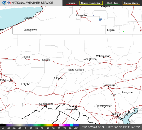
Current Radar Image
Sun Almanac for Quentin, Pennsylvania
Sunrise: 11:36 AM
Sunset: 10:59 PM
Civil Sunrise:11:09 AM
Civil Sunset: 11:27 PM
Nautical Sunrise: 10:37 AM
Nautical Sunset: 11:58 PM
Astro Sunrise: 10:06 AM
Astro Sunset: 00:30 PM
Pennsylvania's Current Temperatures
 Pennsylvania's Satellite Image
 Pennsylvania's Current Wind Direction
| National Summary |
of upper and lower values of current conditions amongst 7119 locations
in the contiguous United States |
|
High
Temp |
79° |
Homestead AFB, Florida
and 2 other locations
|
|
Low
Temp |
3° |
Berlin, New Hampshire
|
|
Wind
Speed |
24mph |
El Reno, Oklahoma
and 1 other location
|
|
Wind
Gust |
33mph |
Colorado Springs, Colorado
|
|
Wind
Chill |
-6° |
Cavalier Municipal A/P, North Dakota
and 1 other location
|
|
High
Pressure |
30.64Hg |
Providence, Rhode Island
and 5 other locations
|
|
Low
Pressure |
29.59Hg |
Charlie, Montana
|
|
| # Locations Reporting Snow |
12 |
|
| # Locations Reporting Rain |
81 |
|
| # Locations Reporting Thunderstorms / Lightning |
5 |
|
| # Locations Reporting Fog |
64 |
|
| Average Temperature in the Contiguous USA |
43° |
|
Any use of the information on this page is at your own risk. This information should not be relied upon in life-threatening situations, potential financial loss situations or in lieu of any officially disseminated information. Visit the
National Weather Service for official information.