Queens Run, Pennsylvania Weather
Current Conditions at
UNIVERSITY PARK - (KUNV)
28°
Partly Cloudy
as of 7:53 PM EST
Rel. Humidity: 58%
Dew Point: 16°F
Visibility: 10 Miles
Pressure: 30.49 in.
Flight Rule: VFR
Cloud Level(s): Scattered at 4700ft
Current Conditions at
WILLIAMSPORT - (KIPT)
Clear
as of 7:54 PM EST
Rel. Humidity: 50%
Dew Point: 12°F
Visibility: 10 Miles
Pressure: 30.53 in.
Flight Rule: VFR
Wind Data
12 MPH
160° South
Cloud Level(s): Clear
Current Conditions at
SELINSGROVE - (KSEG)
28°
Partly Cloudy
as of 7:53 PM EST
Rel. Humidity: 50%
Dew Point: 12°F
Visibility: 10 Miles
Pressure: 30.57 in.
Flight Rule: VFR
Wind Data
5 MPH
210° Southwest
Cloud Level(s): Scattered at 6000ft
Current Conditions at
CLEARFIELD - (KFIG)
27°
Clear
as of 7:54 PM EST
Rel. Humidity: 63%
Dew Point: 16°F
Visibility: 10 Miles
Pressure: 30.44 in.
Flight Rule: VFR
Wind Data
5 MPH
130° Southeast
Cloud Level(s): Clear
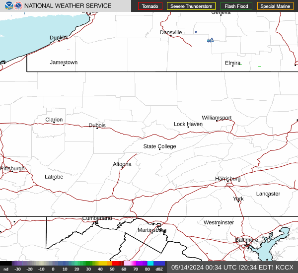
Current Radar Image
Sun Almanac for Queens Run, Pennsylvania
Sunrise: 11:42 AM
Sunset: 11:02 PM
Civil Sunrise:11:15 AM
Civil Sunset: 11:29 PM
Nautical Sunrise: 10:43 AM
Nautical Sunset: 00:01 PM
Astro Sunrise: 10:11 AM
Astro Sunset: 00:33 PM
Pennsylvania's Current Temperatures
 Pennsylvania's Satellite Image
 Pennsylvania's Current Wind Direction
| National Summary |
of upper and lower values of current conditions amongst 6932 locations
in the contiguous United States |
|
High
Temp |
88° |
Gila Bend (Aaf), Arizona
and 6 other locations
|
|
Low
Temp |
0° |
Berlin, New Hampshire
|
|
Wind
Speed |
35mph |
St Augustine, Florida
|
|
Wind
Gust |
38mph |
San Nicolas I.Nas, California
|
|
Wind
Chill |
-7° |
Frenchville, Maine
|
|
High
Pressure |
30.68Hg |
Montauk, New York
and 5 other locations
|
|
Low
Pressure |
29.70Hg |
Charlie, Montana
|
|
| # Locations Reporting Snow |
7 |
|
| # Locations Reporting Rain |
54 |
|
| # Locations Reporting Thunderstorms / Lightning |
2 |
|
| # Locations Reporting Fog |
4 |
|
| Average Temperature in the Contiguous USA |
48° |
|
Any use of the information on this page is at your own risk. This information should not be relied upon in life-threatening situations, potential financial loss situations or in lieu of any officially disseminated information. Visit the
National Weather Service for official information.