Plains, Texas Weather
your sport, your way
Air Sports Net on FacebookAir Sports Net on Google +Air Sports Net on TwitterReceive RSS UpdatesReceive Email Updates

Change location by the zip code or city,state: or search for other weather forecast locations in Texas by name.
Weather Forecast for Plains, Texas : Borden County
Issued: 12:49 am CDT May 3, 2024 Latitude: 32.9123229 Longitude: -101.6445879 View on Google Maps

MouseOver for Detail Forecast
Overnight Friday Saturday Sunday Monday Tuesday Wednesday Thursday
Increasing Clouds on Overnight 20% chance of thunderstorms on Friday 80% chance of thunderstorms on Saturday 30% chance of thunderstorms on Sunday Sunny on Monday Sunny on Tuesday Sunny on Wednesday Sunny on Thursday
Low: 59°F High: 83°F High: 79°F High: 77°F High: 88°F High: 90°F High: 91°F High: 91°F
Low: 59°F Low: 57°F Low: 62°F Low: 58°F Low: 62°F Low: 61°F  
Increasing Clouds Thunderstorms Thunderstorms Thunderstorms Sunny Sunny Sunny Sunny
-
Current Conditions at
SNYDER - (KSNK)
64°
Clear
as of 1:15 AM CDST
Rel. Humidity: 82%
Dew Point: 59°F
Visibility: 10 Miles
Pressure: 29.85 in.
Flight Rule: VFR
Wind Data
3 MPH
030° Northeast
Cloud Level(s): Clear
Current Conditions at
BIG SPRING - (KBPG)
68°
Clear
as of 12:55 AM CDST
Rel. Humidity: 64%
Dew Point: 55°F
Visibility: 10 Miles
Pressure: 29.83 in.
Flight Rule: VFR
Wind Data
9 MPH
100° East
Cloud Level(s): Clear
Current Conditions at
LUBBOCK - (KLBB)
64°
Cloudy
as of 12:53 AM CDST
Rel. Humidity: 93%
Dew Point: 63°F
Visibility: 8 Miles
Pressure: 29.88 in.
Flight Rule: IFR
Wind Data
18 MPH
Gust: 28 MPH
090° East
Cloud Level(s): Broken at 500ft, Solid Overcast at 1500ft
Current Conditions at
MIDLAND - (KMDD)
70°
Clear
as of 12:55 PM CDST
Rel. Humidity: 64%
Dew Point: 57°F
Visibility: 10 Miles
Pressure: 29.84 in.
Flight Rule: VFR
Wind Data
7 MPH
080° East
Cloud Level(s): Clear
Increasing Clouds on Overnight Overnight... Increasing clouds, with a low around 59. East wind around 15 mph.

20% chance of thunderstorms Friday 
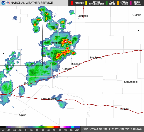
Friday... Isolated showers and thunderstorms after 4pm. Some of the storms could be severe. Mostly cloudy, then gradually becoming sunny, with a high near 83. East wind 10 to 15 mph. Chance of precipitation is 20%.

40% chance of thunderstorms Friday Night Friday Night... Scattered showers and thunderstorms. Some of the storms could be severe. Partly cloudy, with a low around 59. East wind 10 to 20 mph becoming south after midnight. Winds could gust as high as 25 mph. Chance of precipitation is 40%.

80% chance of thunderstorms Saturday Saturday... A chance of showers and thunderstorms, then showers and possibly a thunderstorm after 1pm. High near 79. South wind 10 to 15 mph becoming east in the afternoon. Chance of precipitation is 80%.

90% chance of thunderstorms Saturday Night Saturday Night... Showers and possibly a thunderstorm before 7pm, then showers and thunderstorms between 7pm and 10pm, then showers and possibly a thunderstorm after 10pm. Some of the storms could produce heavy rainfall. Low around 57. East wind 10 to 15 mph. Chance of precipitation is 90%.

30% chance of thunderstorms Sunday Sunday... A 30 percent chance of showers and thunderstorms, mainly before 1pm. Partly sunny, with a high near 77.

Cloudy on Sunday Night Sunday Night... Partly cloudy, with a low around 62.

Sunny on Monday Monday... Sunny, with a high near 88.

Mostly Clear on Monday Night Monday Night... Mostly clear, with a low around 58.

Sunny on Tuesday Tuesday... Sunny, with a high near 90.

Mostly Clear on Tuesday Night Tuesday Night... Mostly clear, with a low around 62.

Sunny on Wednesday Wednesday... Sunny, with a high near 91.

Mostly Clear on Wednesday Night Wednesday Night... Mostly clear, with a low around 61.

Sunny on Thursday Thursday... Sunny, with a high near 91.

Current Radar Image


Sun Almanac for Plains, Texas
Sunrise: 06:56 AM
Sunset: 8:30 PM
Civil Sunrise:06:30 AM
Civil Sunset: 8:57 PM
Nautical Sunrise: 05:58 AM
Nautical Sunset: 9:29 PM
Astro Sunrise: 05:25 AM
Astro Sunset: 10:02 PM
Any use of the information on this page is at your own risk. This information should not be relied upon in life-threatening situations, potential financial loss situations or in lieu of any officially disseminated information. Visit the National Weather Service for official information.