Pepeekeo Mill, Hawaii Weather
Current Conditions at
HILO/GEN LYMAN FL - (PHTO)
70°
Cloudy
as of 7:10 AM HST
Rel. Humidity: 94%
Dew Point: 68°F
Visibility: 10 Miles
Pressure: 30.06 in.
Flight Rule: VFR
Wind Data
6 MPH
240° Southwest
Cloud Level(s): Solid Overcast at 3500ft
Current Conditions at
BRADSHAW AAF - (PHSF)
52°
Clear
as of 6:55 AM HST
Rel. Humidity: 71%
Dew Point: 43°F
Visibility: 10 Miles
Pressure: 30.34 in.
Flight Rule: VFR
Wind Data
6 MPH
120° Southeast
Cloud Level(s): Clear
Current Conditions at
KONA/KEAHOLE - (PHKO)
77°
Mostly Clear
as of 6:53 AM HST
Rel. Humidity: 65%
Dew Point: 64°F
Visibility: 10 Miles
Pressure: 30.02 in.
Flight Rule: VFR
Wind Data
9 MPH
050° Northeast
Cloud Level(s): Few at 5000ft
Current Conditions at
KAHULUI/MAUI - (PHOG)
73°
Mostly Clear
as of 6:54 AM HST
Rel. Humidity: 78%
Dew Point: 66°F
Visibility: 10 Miles
Pressure: 30.06 in.
Flight Rule: VFR
Wind Data
7 MPH
050° Northeast
Cloud Level(s): Few at 4000ft
Moon Almanac for Pepeekeo Mill, Hawaii
Moon Phase: First Quarter
Moon Illumination: 57%
Moon Age: 8.03 Days
Moon is currently below the horizon
Distance from Moon to Earth: 231,436 miles
Upcoming Lunar Events for
Pepeekeo Mill: |
| Next Event | Event Time | Illum |
|
|
|
| Moonrise: | 06:56 pm Fri | 59.3% |
| High Moon: | 01:36 am Sat | 62.3% |
| Moonset: | 08:11 am Sat | 65.1% |
 | New Moon: Fri Apr 17 |
 | First Quarter: Thu Apr 23 |
 | Full Moon: Fri May 1 |
 | Last Quarter: Sat May 9 |
| New Moon: Sat May 16 |
Hawaii's Current Temperatures
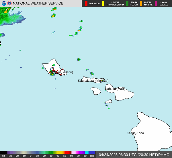
 Hawaii's Satellite Image
 Hawaii's Current Wind Direction
| National Summary |
of upper and lower values of current conditions amongst 7114 locations
in the contiguous United States |
|
High
Temp |
90° |
Mcentire Angb, South Carolina
|
|
Low
Temp |
23° |
Yellowstone, Wyoming
|
|
Wind
Speed |
36mph |
Evanston, Wyoming
and 1 other location
|
|
Wind
Gust |
55mph |
Evanston, Wyoming
|
|
Wind
Chill |
10° |
Ennis Big Sky, Montana
|
|
Heat
Index |
121° |
Blackstone/Fort, Virginia
|
|
High
Pressure |
30.18Hg |
Friday Harbor, Washington
and 1 other location
|
|
Low
Pressure |
29.63Hg |
Antrim, Michigan
and 1 other location
|
|
| # Locations Reporting Snow |
21 |
|
| # Locations Reporting Rain |
58 |
|
| # Locations Reporting Thunderstorms / Lightning |
1 |
|
| # Locations Reporting Fog |
2 |
|
| Average Temperature in the Contiguous USA |
66° |
|
Any use of the information on this page is at your own risk. This information should not be relied upon in life-threatening situations, potential financial loss situations or in lieu of any officially disseminated information. Visit the
National Weather Service for official information.