Parks Mill, South Carolina Weather
Issued: 3:58 am EST Dec 15, 2025 Latitude: 33.8531825 Longitude: -82.226234 View on Google Maps
|
|
|
|
|
|
|
|
|
|
 |
 |
|
 |
 |
|
|
 |
| High: °F |
Low: °F |
High: °F |
High: °F |
High: °F |
High: °F |
High: °F |
High: °F |
| Low: °F |
Low: °F |
Low: °F |
Low: °F |
Low: °F |
|
| Sunny |
Clear |
Sunny |
Partly Sunny |
Rain |
Sunny |
Sunny |
Mostly Sunny |
Current Conditions at
GREENWOOD - (KGRD)
19°
Clear
as of 4:56 AM EST
Rel. Humidity: 52%
Dew Point: 5°F
Visibility: 10 Miles
Pressure: 30.48 in.
Flight Rule: VFR
Wind Data
5 MPH
030° Northeast
Cloud Level(s): Clear
Current Conditions at
THOMSON - (KHQU)
25°
Clear
as of 5:15 AM EST
Rel. Humidity: 45%
Dew Point: 7°F
Visibility: 10 Miles
Pressure: 30.53 in.
Flight Rule: VFR
Cloud Level(s): Clear
Current Conditions at
AUGUSTA DANIEL FIELD - (KDNL)
25°
Clear
as of 4:53 AM EST
Rel. Humidity: 35%
Dew Point: 1°F
Visibility: 10 Miles
Pressure: 30.48 in.
Flight Rule: VFR
Wind Data
7 MPH
060° Northeast
Cloud Level(s): Clear
Current Conditions at
WASHINGTON-WILKES A/P - (KIIY)
21°
Clear
as of 5:15 AM EST
Rel. Humidity: 53%
Dew Point: 7°F
Visibility: 10 Miles
Pressure: 30.47 in.
Flight Rule: VFR
Wind Data
3 MPH
040° Northeast
Cloud Level(s): Clear
|
Today... Sunny, with a high near 42. Calm wind. |
|
|
Tonight... Clear, with a low around 21. Calm wind. |
|
|
Tuesday... Sunny, with a high near 56. Calm wind becoming southwest around 5 mph. |
|
 |
Tuesday Night... Mostly clear, with a low around 30. Calm wind. |
|
|
Wednesday... Partly sunny, with a high near 59. Calm wind becoming southwest around 6 mph. |
|
 |
Wednesday Night... Partly cloudy, with a low around 37. |
|
|
Thursday... A chance of rain after 1pm. Partly sunny, with a high near 65. Chance of precipitation is 30%. |
|
 |
Thursday Night... Rain likely, mainly before 1am. Mostly cloudy, with a low around 44. Chance of precipitation is 70%. |
|
|
Friday... Sunny, with a high near 60. |
|
|
Friday Night... Mostly clear, with a low around 33. |
|
|
Saturday... Sunny, with a high near 60. |
|
|
Saturday Night... Mostly clear, with a low around 41. |
|
|
Sunday... Mostly sunny, with a high near 69. |
|
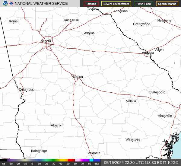
Current Radar Image
Sun Almanac for Parks Mill, South Carolina
Sunrise: 07:27 AM
Sunset: 5:22 PM
Civil Sunrise:06:59 AM
Civil Sunset: 5:49 PM
Nautical Sunrise: 06:28 AM
Nautical Sunset: 6:21 PM
Astro Sunrise: 05:58 AM
Astro Sunset: 6:51 PM
South Carolina's Current Temperatures
 South Carolina's Satellite Image
 South Carolina's Current Wind Direction
| National Summary |
of upper and lower values of current conditions amongst 7096 locations
in the contiguous United States |
|
High
Temp |
72° |
Stuart/Witham, Florida
and 3 other locations
|
|
Low
Temp |
-8° |
Rantoul, Illinois
|
|
Wind
Speed |
32mph |
Whidbey IsNAS, Washington
|
|
Wind
Gust |
45mph |
Whidbey IsNAS, Washington
|
|
Wind
Chill |
-19° |
Bloomington, Illinois
|
|
High
Pressure |
30.63Hg |
Salida Mountain, Colorado
|
|
Low
Pressure |
29.71Hg |
Frenchville, Maine
|
|
| # Locations Reporting Snow |
51 |
|
| # Locations Reporting Rain |
17 |
|
| # Locations Reporting Fog |
31 |
|
| Average Temperature in the Contiguous USA |
24° |
|
Any use of the information on this page is at your own risk. This information should not be relied upon in life-threatening situations, potential financial loss situations or in lieu of any officially disseminated information. Visit the
National Weather Service for official information.