Owyhee Heights, Idaho Weather
Current Conditions at
CALDWELL - (KEUL)
43°
Clear
as of 7:56 PM MST
Rel. Humidity: 70%
Dew Point: 34°F
Visibility: 10 Miles
Pressure: 30.38 in.
Flight Rule: VFR
Cloud Level(s): Clear
Current Conditions at
ONTARIO - (KONO)
36°
Clear
as of 7:53 PM MST
Rel. Humidity: 74%
Dew Point: 28°F
Visibility: 10 Miles
Pressure: 30.39 in.
Flight Rule: VFR
Cloud Level(s): Clear
Current Conditions at
BOISE - (KBOI)
39°
Clear
as of 7:53 PM MST
Rel. Humidity: 69%
Dew Point: 30°F
Visibility: 10 Miles
Pressure: 30.37 in.
Flight Rule: VFR
Cloud Level(s): Clear
Current Conditions at
MOUNTAIN HOME AFB - (KMUO)
41°
Clear
as of 7:55 PM MST
Rel. Humidity: 65%
Dew Point: 30°F
Visibility: 9 Miles
Pressure: 30.37 in.
Flight Rule: VFR
Wind Data
8 MPH
230° Southwest
Cloud Level(s): Clear
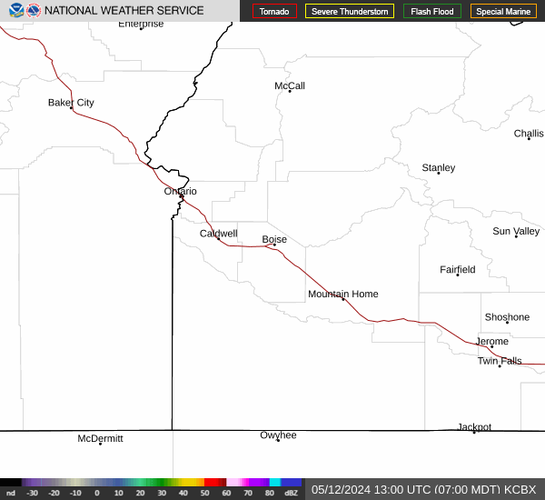
Current Radar Image
Sun Almanac for Owyhee Heights, Idaho
Sunrise: 15:03 AM
Sunset: 01:01 PM
Civil Sunrise:14:32 AM
Civil Sunset: 01:31 PM
Nautical Sunrise: 13:58 AM
Nautical Sunset: 02:05 PM
Astro Sunrise: 13:25 AM
Astro Sunset: 02:39 PM
Idaho's Current Temperatures
 Idaho's Satellite Image
 Idaho's Current Wind Direction
| National Summary |
of upper and lower values of current conditions amongst 6799 locations
in the contiguous United States |
|
High
Temp |
72° |
Phoenix, Arizona
and 2 other locations
|
|
Low
Temp |
-11° |
Baudette, Minnesota
|
|
Wind
Speed |
25mph |
Dakota Hill, Colorado
|
|
Wind
Gust |
38mph |
Dakota Hill, Colorado
|
|
Wind
Chill |
-15° |
Fargo, North Dakota
|
|
High
Pressure |
30.43Hg |
Salida Mountain, Colorado
|
|
Low
Pressure |
29.79Hg |
Charlie, Montana
|
|
| # Locations Reporting Snow |
75 |
|
| # Locations Reporting Rain |
3 |
|
| # Locations Reporting Fog |
3 |
|
| Average Temperature in the Contiguous USA |
34° |
|
Any use of the information on this page is at your own risk. This information should not be relied upon in life-threatening situations, potential financial loss situations or in lieu of any officially disseminated information. Visit the
National Weather Service for official information.