Mousetail, Tennessee Weather
Current Conditions at
COLUMBIA - (KMRC)
Clear
as of 7:50 AM CDST
Rel. Humidity: 45%
Dew Point: 25°F
Visibility: 10 Miles
Pressure: 30.08 in.
Flight Rule: VFR
Wind Data
14 MPH
220° Southwest
Cloud Level(s): Clear
Current Conditions at
JACKSON - (KMKL)
46°
Clear
as of 7:53 AM CDST
Rel. Humidity: 52%
Dew Point: 30°F
Visibility: 10 Miles
Pressure: 30.09 in.
Flight Rule: VFR
Wind Data
7 MPH
Gust: 18 MPH
210° Southwest
Cloud Level(s): Clear
Current Conditions at
MUSCLE SHOALS - (KMSL)
43°
Clear
as of 7:53 AM CDST
Rel. Humidity: 60%
Dew Point: 30°F
Visibility: 10 Miles
Pressure: 30.13 in.
Flight Rule: VFR
Wind Data
5 MPH
140° Southeast
Cloud Level(s): Clear
Current Conditions at
CLARKSVILLE - (KCKV)
Clear
as of 7:52 AM CDST
Rel. Humidity: 42%
Dew Point: 25°F
Visibility: 10 Miles
Pressure: 30.04 in.
Flight Rule: VFR
Wind Data
15 MPH
Gust: 23 MPH
200° South
Cloud Level(s): Clear
Moon Almanac for Mousetail, Tennessee
Moon Phase: Waning Crescent
Moon Illumination: 30%
Moon Age: 24.0 Days
Moon is currently above the horizon
Distance from Moon to Earth: 249,038 miles
Upcoming Lunar Events for
Mousetail: |
| Next Event | Event Time | Illum |
|
|
|
| High Moon: | 09:43 am Fri | 29.7% |
| Moonset: | 02:30 pm Fri | 28.0% |
| Moonrise: | 05:39 am Sat | 22.6% |
| High Moon: | 10:34 am Sat | 20.9% |
| Moonset: | 03:33 pm Sat | 19.2% |
 | New Moon: Tue Feb 17 |
 | First Quarter: Tue Feb 24 |
 | Full Moon: Tue Mar 3 |
 | Last Quarter: Wed Mar 11 |
| New Moon: Wed Mar 18 |
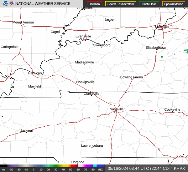
Current Radar Image
| Tennessee State Summary |
of upper and lower values of current conditions amongst 14 locations
in Tennessee |
|
High
Temp |
46° |
Dyersburg
and 4 other locations
|
|
|
|
Wind
Speed |
15mph |
Clarksville
|
|
Wind
Gust |
25mph |
Crossville
|
|
|
|
High
Pressure |
30.17Hg |
Chattanooga
|
|
Low
Pressure |
30.04Hg |
Clarksville
|
|
| Average temperature in Tennessee |
43° |
|
# Locations Reporting VFR
(Visual Flight Rules) |
14 |
|
Tennessee's Current Temperatures
 Tennessee's Satellite Image
 Tennessee's Current Wind Direction
| National Summary |
of upper and lower values of current conditions amongst 7073 locations
in the contiguous United States |
|
High
Temp |
77° |
Lantana/Palm Bea, Florida
and 4 other locations
|
|
Low
Temp |
3° |
Cando Municipal A/P, North Dakota
|
|
Wind
Speed |
44mph |
Berthoud Pass, Colorado
|
|
Wind
Gust |
59mph |
Berthoud Pass, Colorado
|
|
Wind
Chill |
-10° |
Thief River Falls, Minnesota
and 1 other location
|
|
High
Pressure |
30.38Hg |
Pagosa Springs, Colorado
|
|
Low
Pressure |
29.10Hg |
Ephraim, Wisconsin
|
|
| # Locations Reporting Snow |
128 |
|
| # Locations Reporting Rain |
36 |
|
| # Locations Reporting Fog |
32 |
|
| Average Temperature in the Contiguous USA |
39° |
|
Any use of the information on this page is at your own risk. This information should not be relied upon in life-threatening situations, potential financial loss situations or in lieu of any officially disseminated information. Visit the
National Weather Service for official information.