Mouser Place, New Mexico Weather
Current Conditions at
DOUGLAS - (KDUG)
64°
Clear
as of 11:56 PM MST
Rel. Humidity: 27%
Dew Point: 30°F
Visibility: 10 Miles
Pressure: 29.93 in.
Flight Rule: VFR
Cloud Level(s): Clear
Current Conditions at
SILVER CITY - (KSVC)
52°
Clear
as of 1:15 AM MDST
Rel. Humidity: 27%
Dew Point: 19°F
Visibility: 10 Miles
Pressure: 29.96 in.
Flight Rule: VFR
Wind Data
9 MPH
320° Northwest
Cloud Level(s): Clear
Current Conditions at
DEMING - (KDMN)
63°
Clear
as of 12:53 AM MDST
Rel. Humidity: 25%
Dew Point: 27°F
Visibility: 10 Miles
Pressure: 29.91 in.
Flight Rule: VFR
Wind Data
3 MPH
220° Southwest
Cloud Level(s): Clear
Current Conditions at
SAFFORD - (KSAD)
64°
Clear
as of 11:51 PM MST
Rel. Humidity: 20%
Dew Point: 23°F
Visibility: 10 Miles
Pressure: 29.81 in.
Flight Rule: VFR
Cloud Level(s): Clear
Moon Almanac for Mouser Place, New Mexico
Moon Phase: Waxing Gibbous
Moon Illumination: 73%
Moon Age: 9.64 Days
Moon is currently above the horizon
Distance from Moon to Earth: 235,805 miles
Upcoming Lunar Events for
Mouser Place: |
| Next Event | Event Time | Illum |
|
|
|
| Moonset: | 05:49 am Sun | 73.9% |
| Moonrise: | 05:29 pm Sun | 78.3% |
| High Moon: | 11:57 pm Sun | 80.5% |
| Moonset: | 06:17 am Mon | 82.7% |
 | New Moon: Fri Apr 17 |
 | First Quarter: Thu Apr 23 |
 | Full Moon: Fri May 1 |
 | Last Quarter: Sat May 9 |
| New Moon: Sat May 16 |
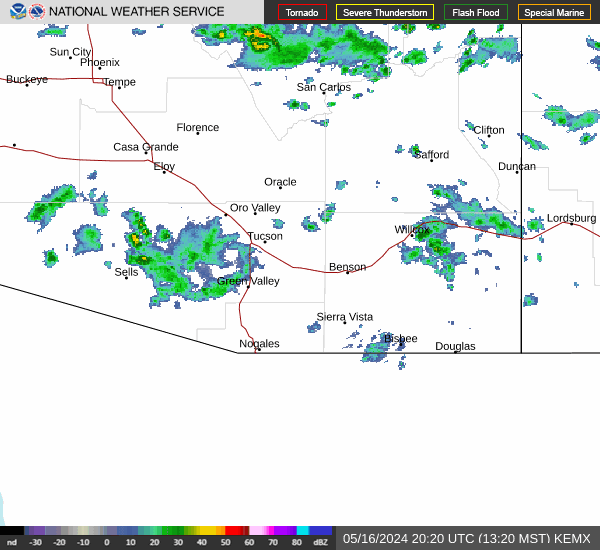
Current Radar Image
| New Mexico State Summary |
of upper and lower values of current conditions amongst 16 locations
in New Mexico |
|
High
Temp |
70° |
Holloman AFB
and 1 other location
|
|
|
|
|
|
|
|
Wind
Chill |
39° |
Clines Corners
|
|
High
Pressure |
29.98Hg |
Ruidoso
|
|
Low
Pressure |
29.78Hg |
Roswell
|
|
| Average temperature in New Mexico |
57° |
|
# Locations Reporting VFR
(Visual Flight Rules) |
16 |
|
New Mexico's Current Temperatures
 New Mexico's Satellite Image
 New Mexico's Current Wind Direction
| National Summary |
of upper and lower values of current conditions amongst 7015 locations
in the contiguous United States |
|
High
Temp |
81° |
Key West Intl, Florida
|
|
Low
Temp |
16° |
Yellowstone, Wyoming
and 1 other location
|
|
Wind
Speed |
30mph |
Delta, Utah
|
|
Wind
Gust |
38mph |
St George, Utah
|
|
Wind
Chill |
10° |
Berthoud Pass, Colorado
|
|
High
Pressure |
30.12Hg |
Mackinac Island, Michigan
and 8 other locations
|
|
Low
Pressure |
29.62Hg |
Eagle Range, Utah
and 3 other locations
|
|
| # Locations Reporting Snow |
9 |
|
| # Locations Reporting Rain |
130 |
|
| # Locations Reporting Thunderstorms / Lightning |
9 |
|
| # Locations Reporting Fog |
38 |
|
| Average Temperature in the Contiguous USA |
52° |
|
Any use of the information on this page is at your own risk. This information should not be relied upon in life-threatening situations, potential financial loss situations or in lieu of any officially disseminated information. Visit the
National Weather Service for official information.