Mount Vernon, Nebraska Weather
Current Conditions at
SIDNEY - (KSNY)
30°
Mostly Clear
as of 8:53 PM MST
Rel. Humidity: 80%
Dew Point: 25°F
Visibility: 10 Miles
Pressure: 30.37 in.
Flight Rule: VFR
Wind Data
8 MPH
300° Northwest
Cloud Level(s): Few at 7000ft
Current Conditions at
KIMBALL - (KIBM)
Cloudy
as of 8:55 PM MST
Rel. Humidity: 69%
Dew Point: 28°F
Visibility: 10 Miles
Pressure: 30.42 in.
Flight Rule: VFR
Wind Data
23 MPH
Gust: 30 MPH
0° North
Cloud Level(s): Scattered at 2600ft, Broken at 3700ft, Solid Overcast at 6000ft
Current Conditions at
SCOTTSBLUFF - (KBFF)
37°
Cloudy
as of 8:53 PM MST
Rel. Humidity: 69%
Dew Point: 28°F
Visibility: 10 Miles
Pressure: 30.41 in.
Flight Rule: VFR
Cloud Level(s): Few at 5000ft, Scattered at 8000ft, Solid Overcast at 10000ft
Current Conditions at
ALLIANCE - (KAIA)
Mostly Cloudy
as of 8:53 PM MST
Rel. Humidity: 92%
Dew Point: 28°F
Visibility: 10 Miles
Pressure: 30.38 in.
Flight Rule: VFR
Cloud Level(s): Scattered at 5000ft, Scattered at 7000ft, Broken at 8500ft
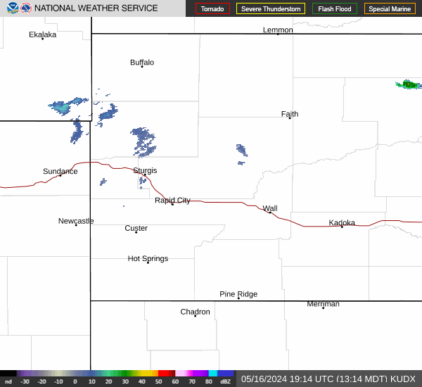
Current Radar Image
Sun Almanac for Mount Vernon, Nebraska
Sunrise: 14:01 AM
Sunset: 00:12 PM
Civil Sunrise:13:32 AM
Civil Sunset: 00:41 PM
Nautical Sunrise: 12:59 AM
Nautical Sunset: 01:14 PM
Astro Sunrise: 12:27 AM
Astro Sunset: 01:46 PM
Nebraska's Current Temperatures
 Nebraska's Satellite Image
 Nebraska's Current Wind Direction
| National Summary |
of upper and lower values of current conditions amongst 6871 locations
in the contiguous United States |
|
High
Temp |
75° |
Burbank, California
|
|
Low
Temp |
-6° |
Manitowish Water, Wisconsin
and 2 other locations
|
|
Wind
Speed |
29mph |
Troutdale, Oregon
|
|
Wind
Gust |
40mph |
Troutdale, Oregon
|
|
Wind
Chill |
-10° |
Berthoud Pass, Colorado
|
|
High
Pressure |
30.56Hg |
Fort Bridger, Wyoming
|
|
Low
Pressure |
29.90Hg |
Charlie, Montana
|
|
| # Locations Reporting Snow |
62 |
|
| # Locations Reporting Rain |
87 |
|
| # Locations Reporting Thunderstorms / Lightning |
2 |
|
| # Locations Reporting Fog |
8 |
|
| Average Temperature in the Contiguous USA |
35° |
|
Any use of the information on this page is at your own risk. This information should not be relied upon in life-threatening situations, potential financial loss situations or in lieu of any officially disseminated information. Visit the
National Weather Service for official information.