Menominee, Nebraska Weather
Current Conditions at
YANKTON - (KYKN)
27°
Cloudy
as of 10:25 PM CST
Rel. Humidity: 100%
Dew Point: 27°F
Visibility: 10 Miles
Pressure: 30.33 in.
Flight Rule: MVFR
Wind Data
3 MPH
230° Southwest
Cloud Level(s): Few at 1200ft, Solid Overcast at 2100ft
Current Conditions at
WAYNE - (KLCG)
28°
Cloudy
as of 10:15 PM CST
Rel. Humidity: 92%
Dew Point: 27°F
Visibility: 10 Miles
Pressure: 30.33 in.
Flight Rule: MVFR
Cloud Level(s): Scattered at 1700ft, Solid Overcast at 2800ft
Current Conditions at
NORFOLK - (KOFK)
28°
Cloudy
as of 9:56 PM CST
Rel. Humidity: 92%
Dew Point: 27°F
Visibility: 9 Miles
Pressure: 30.31 in.
Flight Rule: MVFR
Cloud Level(s): Few at 1800ft, Solid Overcast at 2500ft
Current Conditions at
SIOUX CITY - (KSUX)
27°
Cloudy
as of 10:19 PM CST
Rel. Humidity: 86%
Dew Point: 23°F
Visibility: 10 Miles
Pressure: 30.34 in.
Flight Rule: MVFR
Cloud Level(s): Broken at 1500ft, Solid Overcast at 2000ft
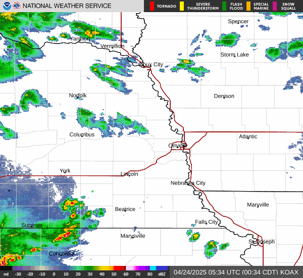
Current Radar Image
Sun Almanac for Menominee, Nebraska
Sunrise: 13:41 AM
Sunset: 11:45 PM
Civil Sunrise:13:12 AM
Civil Sunset: 00:15 PM
Nautical Sunrise: 12:38 AM
Nautical Sunset: 00:49 PM
Astro Sunrise: 12:05 AM
Astro Sunset: 01:22 PM
Nebraska's Current Temperatures
 Nebraska's Satellite Image
 Nebraska's Current Wind Direction
| National Summary |
of upper and lower values of current conditions amongst 6871 locations
in the contiguous United States |
|
High
Temp |
75° |
Burbank, California
|
|
Low
Temp |
-6° |
Manitowish Water, Wisconsin
and 2 other locations
|
|
Wind
Speed |
29mph |
Troutdale, Oregon
|
|
Wind
Gust |
40mph |
Troutdale, Oregon
|
|
Wind
Chill |
-10° |
Berthoud Pass, Colorado
|
|
High
Pressure |
30.56Hg |
Fort Bridger, Wyoming
|
|
Low
Pressure |
29.90Hg |
Charlie, Montana
|
|
| # Locations Reporting Snow |
62 |
|
| # Locations Reporting Rain |
87 |
|
| # Locations Reporting Thunderstorms / Lightning |
2 |
|
| # Locations Reporting Fog |
8 |
|
| Average Temperature in the Contiguous USA |
35° |
|
Any use of the information on this page is at your own risk. This information should not be relied upon in life-threatening situations, potential financial loss situations or in lieu of any officially disseminated information. Visit the
National Weather Service for official information.