No Watches or Warnings for Medina
Issued: 9:45 am CDT May 5, 2024 Latitude: 26.9211489 Longitude: -99.2594809 View on Google Maps
|
|
|
|
|
|
|
|
|
|
 |
 |
 |
 |
 |
 |
 |
 |
| High: °F |
Low: °F |
High: °F |
High: °F |
High: °F |
High: °F |
High: °F |
High: °F |
| Low: °F |
Low: °F |
Low: °F |
Low: °F |
Low: °F |
|
| Thunderstorms |
Increasing Clouds |
Mostly Cloudy |
Mostly Sunny |
Partly Sunny |
Sunny |
Thunderstorms |
Thunderstorms |
Current Conditions at
JIM HOGG - (KHBV)
77°
Cloudy
as of 9:30 AM CDST
Rel. Humidity: 83%
Dew Point: 72°F
Visibility: 7 Miles
Pressure: 29.85 in.
Flight Rule: MVFR
Wind Data
10 MPH
Gust: 17 MPH
130° Southeast
Cloud Level(s): Broken at 1000ft, Solid Overcast at 2500ft
Current Conditions at
LAREDO AFB - (KLRD)
75°
Cloudy
Light Rain
as of 9:38 AM CDST
Rel. Humidity: 94%
Dew Point: 73°F
Visibility: 4 Miles
Pressure: 29.81 in.
Flight Rule: MVFR
Cloud Level(s): Scattered at 600ft, Solid Overcast at 1400ft
Current Conditions at
FALFURRIAS - (KBKS)
79°
Partly Cloudy
as of 9:35 AM CDST
Rel. Humidity: 88%
Dew Point: 75°F
Visibility: 10 Miles
Pressure: 29.84 in.
Flight Rule: VFR
Wind Data
10 MPH
130° Southeast
Cloud Level(s): Few at 1500ft, Scattered at 2400ft
Current Conditions at
EDINBURG INTL ARPT - (KEBG)
81°
Cloudy
as of 9:35 AM CDST
Rel. Humidity: 78%
Dew Point: 73°F
Visibility: 10 Miles
Pressure: 29.82 in.
Flight Rule: MVFR
Wind Data
14 MPH
130° Southeast
Cloud Level(s): Broken at 1900ft, Broken at 2400ft, Solid Overcast at 3500ft
|
Today... A 40 percent chance of showers and thunderstorms, mainly before 1pm. Cloudy early, then gradual clearing, with a high near 92. Southeast wind 10 to 13 mph. |
|
|
Tonight... Increasing clouds, with a low around 75. Southeast wind 10 to 14 mph, with gusts as high as 20 mph. |
|
|
Monday... Mostly cloudy, then gradually becoming sunny, with a high near 97. Heat index values as high as 105. South southeast wind 8 to 10 mph. |
|
|
Monday Night... Increasing clouds, with a low around 75. Southeast wind 9 to 13 mph. |
|
|
Tuesday... Mostly sunny and hot, with a high near 101. Southeast wind around 9 mph. |
|
|
Tuesday Night... Mostly cloudy, with a low around 76. Southeast wind 10 to 17 mph, with gusts as high as 26 mph. |
|
|
Wednesday... Partly sunny and hot, with a high near 107. Southeast wind 10 to 13 mph becoming northwest in the afternoon. |
|
 |
Wednesday Night... Partly cloudy, with a low around 77. East northeast wind 9 to 16 mph becoming southeast after midnight. Winds could gust as high as 23 mph. |
|
|
Thursday... Sunny and hot, with a high near 108. Southeast wind 9 to 15 mph becoming west northwest in the afternoon. Winds could gust as high as 24 mph. |
|
 |
Thursday Night... Mostly clear, with a low around 75. North northeast wind 14 to 17 mph becoming east after midnight. Winds could gust as high as 25 mph. |
|
|
Friday... A 20 percent chance of showers and thunderstorms. Mostly sunny, with a high near 94. Northeast wind around 14 mph, with gusts as high as 21 mph. |
|
 |
Friday Night... A 20 percent chance of showers and thunderstorms. Mostly cloudy, with a low around 71. |
|
|
Saturday... A 20 percent chance of showers and thunderstorms. Partly sunny, with a high near 88. |
|
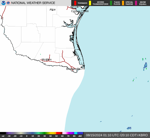
Current Radar Image
Sun Almanac for Medina, Texas
Sunrise: 06:55 AM
Sunset: 8:12 PM
Civil Sunrise:06:30 AM
Civil Sunset: 8:37 PM
Nautical Sunrise: 06:01 AM
Nautical Sunset: 9:07 PM
Astro Sunrise: 05:30 AM
Astro Sunset: 9:37 PM
Texas' Current Temperatures
 Texas' Satellite Image
 Texas' Current Wind Direction
| National Summary |
of upper and lower values of current conditions amongst 7144 locations
in the contiguous United States |
|
High
Temp |
88° |
Key West NAS, Florida
|
|
Low
Temp |
30° |
Salida Mountain, Colorado
and 2 other locations
|
|
Wind
Speed |
32mph |
Palmdale, California
|
|
Wind
Gust |
45mph |
Alliance, Nebraska
|
|
Wind
Chill |
15° |
Salida Mountain, Colorado
|
|
Heat
Index |
95° |
Key WestNAS, Florida
|
|
High
Pressure |
30.80Hg |
Ottawa, Ohio
|
|
Low
Pressure |
29.42Hg |
Missoula, Montana
|
|
| # Locations Reporting Snow |
9 |
|
| # Locations Reporting Rain |
183 |
|
| # Locations Reporting Thunderstorms / Lightning |
8 |
|
| # Locations Reporting Fog |
9 |
|
| Average Temperature in the Contiguous USA |
59° |
|
Any use of the information on this page is at your own risk. This information should not be relied upon in life-threatening situations, potential financial loss situations or in lieu of any officially disseminated information. Visit the
National Weather Service for official information.