Jack Creek, Nevada Weather
Current Conditions at
ELKO - (KEKO)
39°
Clear
as of 11:56 PM PDST
Rel. Humidity: 55%
Dew Point: 25°F
Visibility: 10 Miles
Pressure: 30.40 in.
Flight Rule: VFR
Cloud Level(s): Clear
Current Conditions at
WINNEMUCA - (KWMC)
48°
Clear
as of 11:56 PM PDST
Rel. Humidity: 36%
Dew Point: 23°F
Visibility: 10 Miles
Pressure: 30.38 in.
Flight Rule: VFR
Wind Data
7 MPH
210° Southwest
Cloud Level(s): Clear
Current Conditions at
TWIN FALLS - (KTWF)
Partly Cloudy
as of 12:53 AM MDST
Rel. Humidity: 39%
Dew Point: 25°F
Visibility: 10 Miles
Pressure: 30.24 in.
Flight Rule: VFR
Wind Data
16 MPH
200° South
Cloud Level(s): Scattered at 12000ft
Current Conditions at
MOUNTAIN HOME AFB - (KMUO)
Mostly Cloudy
as of 12:55 AM MDST
Rel. Humidity: 52%
Dew Point: 28°F
Visibility: 10 Miles
Pressure: 30.21 in.
Flight Rule: VFR
Cloud Level(s): Broken at 12000ft
Moon Almanac for Jack Creek, Nevada
Moon Phase: Last Quarter
Moon Illumination: 41%
Moon Age: 22.9 Days
Moon is currently below the horizon
Distance from Moon to Earth: 250,888 miles
Upcoming Lunar Events for
Jack Creek: |
| Next Event | Event Time | Illum |
|
|
|
| Moonrise: | 06:32 am Thu | 40.2% |
| High Moon: | 10:47 am Thu | 38.5% |
| Moonset: | 03:04 pm Thu | 36.8% |
 | New Moon: Tue Feb 17 |
 | First Quarter: Tue Feb 24 |
 | Full Moon: Tue Mar 3 |
 | Last Quarter: Wed Mar 11 |
| New Moon: Wed Mar 18 |
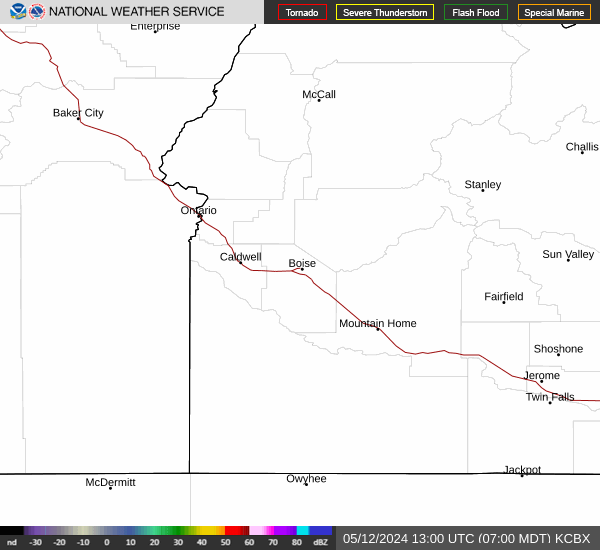
Current Radar Image
| Nevada State Summary |
of upper and lower values of current conditions amongst 16 locations
in Nevada |
|
High
Temp |
63° |
Boulder City Municipal
and 1 other location
|
|
|
|
|
|
|
|
High
Pressure |
30.48Hg |
Carson City A/P
|
|
Low
Pressure |
30.27Hg |
Nellis AFB
|
|
| Average temperature in Nevada |
49° |
|
# Locations Reporting VFR
(Visual Flight Rules) |
16 |
|
Nevada's Current Temperatures
 Nevada's Satellite Image
 Nevada's Current Wind Direction
| National Summary |
of upper and lower values of current conditions amongst 7007 locations
in the contiguous United States |
|
High
Temp |
79° |
Viosca Knoll768, Alabama
and 6 other locations
|
|
Low
Temp |
9° |
Hallock, Minnesota
|
|
Wind
Speed |
48mph |
Dakota Hill, Colorado
|
|
Wind
Gust |
66mph |
Dakota Hill, Colorado
|
|
Wind
Chill |
-6° |
Berthoud Pass, Colorado
|
|
High
Pressure |
30.53Hg |
Gaines County, Texas
and 3 other locations
|
|
Low
Pressure |
29.34Hg |
Burlington, Vermont
|
|
| # Locations Reporting Snow |
16 |
|
| # Locations Reporting Rain |
159 |
|
| # Locations Reporting Fog |
29 |
|
| Average Temperature in the Contiguous USA |
46° |
|
Any use of the information on this page is at your own risk. This information should not be relied upon in life-threatening situations, potential financial loss situations or in lieu of any officially disseminated information. Visit the
National Weather Service for official information.