Howard, Pennsylvania Weather
No Watches or Warnings for Howard
Issued: 5:03 pm EDT Apr 27, 2024 Latitude: 41.0142294 Longitude: -77.6580534 View on Google Maps
|
|
|
|
|
|
|
|
|
|
|
 |
 |
 |
 |
 |
 |
|
 |
|
| High: °F |
Low: °F |
High: °F |
High: °F |
High: °F |
High: °F |
High: °F |
High: °F |
High: °F |
| Low: °F |
Low: °F |
Low: °F |
Low: °F |
Low: °F |
Low: °F |
|
| Rain |
Mostly Cloudy |
Thunderstorms |
Thunderstorms |
Thunderstorms |
Mostly Sunny |
Mostly Sunny |
Partly Sunny |
Partly Sunny |
Current Conditions at
UNIVERSITY PARK - (KUNV)
50°
Cloudy
as of 4:53 PM EDST
Rel. Humidity: 87%
Dew Point: 46°F
Visibility: 8 Miles
Pressure: 30.31 in.
Flight Rule: MVFR
Cloud Level(s): Solid Overcast at 1100ft
Current Conditions at
CLEARFIELD - (KFIG)
52°
Cloudy
as of 4:54 PM EDST
Rel. Humidity: 76%
Dew Point: 45°F
Visibility: 10 Miles
Pressure: 30.27 in.
Flight Rule: MVFR
Wind Data
8 MPH
140° Southeast
Cloud Level(s): Solid Overcast at 1200ft
Current Conditions at
WILLIAMSPORT - (KIPT)
52°
Cloudy
as of 4:54 PM EDST
Rel. Humidity: 57%
Dew Point: 37°F
Visibility: 10 Miles
Pressure: 30.33 in.
Flight Rule: MVFR
Wind Data
9 MPH
Gust: 21 MPH
070° East
Cloud Level(s): Solid Overcast at 2900ft
Current Conditions at
WELLSVILLE MUNI - (KELZ)
Cloudy
Light Rain
as of 4:56 PM EDST
Rel. Humidity: 93%
Dew Point: 46°F
Visibility: 10 Miles
Pressure: 30.22 in.
Flight Rule: IFR
Wind Data
13 MPH
Gust: 22 MPH
190° South
Cloud Level(s): Solid Overcast at 900ft
|
This Afternoon... A slight chance of showers. Cloudy, with a high near 52. South wind around 7 mph. Chance of precipitation is 20%. |
|
|
Tonight... Mostly cloudy, with a low around 51. South wind around 6 mph becoming calm in the evening. |
|
|
Sunday... A slight chance of showers, then a chance of showers and thunderstorms after 3pm. Mostly sunny, with a high near 84. West wind 5 to 10 mph. Chance of precipitation is 30%. New rainfall amounts of less than a tenth of an inch, except higher amounts possible in thunderstorms. |
|
 |
Sunday Night... A chance of showers and thunderstorms, mainly before 7pm. Partly cloudy, with a low around 58. Southwest wind 3 to 7 mph. Chance of precipitation is 30%. New precipitation amounts of less than a tenth of an inch, except higher amounts possible in thunderstorms. |
|
|
Monday... A slight chance of showers and thunderstorms after 2pm. Mostly sunny, with a high near 88. West wind 3 to 8 mph. Chance of precipitation is 20%. |
|
 |
Monday Night... A slight chance of showers and thunderstorms. Partly cloudy, with a low around 62. Chance of precipitation is 20%. |
|
|
Tuesday... A chance of showers before 2pm, then showers likely and possibly a thunderstorm between 2pm and 5pm, then showers likely after 5pm. Partly sunny, with a high near 83. Chance of precipitation is 70%. |
|
 |
Tuesday Night... Showers likely before 8pm, then a chance of showers and thunderstorms between 8pm and 2am. Mostly cloudy, with a low around 57. Chance of precipitation is 60%. |
|
|
Wednesday... Mostly sunny, with a high near 80. |
|
 |
Wednesday Night... Partly cloudy, with a low around 56. |
|
|
Thursday... Mostly sunny, with a high near 81. |
|
|
Thursday Night... Partly cloudy, with a low around 58. |
|
|
Friday... A chance of showers. Partly sunny, with a high near 79. Chance of precipitation is 40%. |
|
 |
Friday Night... A chance of showers and thunderstorms. Mostly cloudy, with a low around 57. Chance of precipitation is 40%. |
|
|
Saturday... A chance of showers. Partly sunny, with a high near 76. |
|
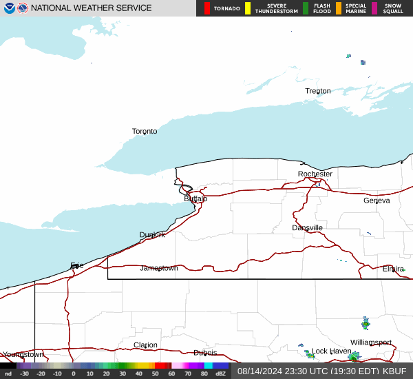
Current Radar Image
Sun Almanac for Howard, Pennsylvania
Sunrise: 06:13 AM
Sunset: 8:04 PM
Civil Sunrise:05:43 AM
Civil Sunset: 8:33 PM
Nautical Sunrise: 05:07 AM
Nautical Sunset: 9:09 PM
Astro Sunrise: 04:29 AM
Astro Sunset: 9:48 PM
Pennsylvania's Current Temperatures
 Pennsylvania's Satellite Image
 Pennsylvania's Current Wind Direction
| National Summary |
of upper and lower values of current conditions amongst 6995 locations
in the contiguous United States |
|
High
Temp |
97° |
Del Rio, Texas
and 2 other locations
|
|
Low
Temp |
1° |
Imperial Beach NAS, California
|
|
Wind
Speed |
32mph |
Ruidoso, New Mexico
and 2 other locations
|
|
Wind
Gust |
47mph |
Guymon, Oklahoma
and 3 other locations
|
|
Wind
Chill |
-16° |
Imperial BeachNAS, California
|
|
Heat
Index |
101° |
Falfurrias, Texas
and 1 other location
|
|
High
Pressure |
30.82Hg |
Ottawa, Ohio
|
|
Low
Pressure |
29.56Hg |
Garden City, Kansas
and 1 other location
|
|
| # Locations Reporting Snow |
10 |
|
| # Locations Reporting Rain |
126 |
|
| # Locations Reporting Thunderstorms / Lightning |
15 |
|
| # Locations Reporting Fog |
3 |
|
| Average Temperature in the Contiguous USA |
68° |
|
Any use of the information on this page is at your own risk. This information should not be relied upon in life-threatening situations, potential financial loss situations or in lieu of any officially disseminated information. Visit the
National Weather Service for official information.