Honokahua, Hawaii Weather
Current Conditions at
KAHULUI/MAUI - (PHOG)
77°
Mostly Clear
as of 5:54 PM HST
Rel. Humidity: 65%
Dew Point: 64°F
Visibility: 10 Miles
Pressure: 30.00 in.
Flight Rule: VFR
Wind Data
20 MPH
Gust: 30 MPH
070° East
Cloud Level(s): Few at 3000ft
Current Conditions at
LANAI/LANI CITY - (PHNY)
70°
Partly Cloudy
as of 6:31 PM HST
Rel. Humidity: 83%
Dew Point: 64°F
Visibility: 10 Miles
Pressure: 30.08 in.
Flight Rule: VFR
Wind Data
9 MPH
030° Northeast
Cloud Level(s): Scattered at 2300ft
Current Conditions at
KANEOHE BAY MCAS - (PHNG)
75°
Mostly Cloudy
as of 5:57 PM HST
Rel. Humidity: 73%
Dew Point: 66°F
Visibility: 7 Miles
Pressure: 30.02 in.
Flight Rule: MVFR
Wind Data
9 MPH
Gust: 20 MPH
070° East
Cloud Level(s): Broken at 2500ft, Broken at 10000ft
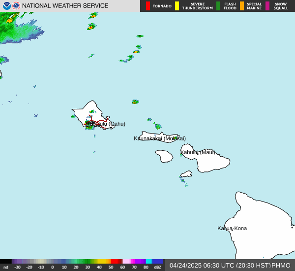
Current Radar Image
Sun Almanac for Honokahua, Hawaii
Sunrise: 16:45 AM
Sunset: 04:32 PM
Civil Sunrise:16:23 AM
Civil Sunset: 04:54 PM
Nautical Sunrise: 15:57 AM
Nautical Sunset: 05:20 PM
Astro Sunrise: 15:31 AM
Astro Sunset: 05:46 PM
Hawaii's Current Temperatures
 Hawaii's Satellite Image
 Hawaii's Current Wind Direction
| National Summary |
of upper and lower values of current conditions amongst 6982 locations
in the contiguous United States |
|
High
Temp |
84° |
Presidio, Texas
|
|
Low
Temp |
14° |
Rolla Municipal A/P, North Dakota
|
|
Wind
Speed |
33mph |
Altus AFB, Oklahoma
|
|
Wind
Gust |
38mph |
Altus AFB, Oklahoma
and 1 other location
|
|
Wind
Chill |
2° |
Berthoud Pass, Colorado
|
|
High
Pressure |
30.38Hg |
Thomson, Georgia
and 1 other location
|
|
Low
Pressure |
29.58Hg |
Charlie, Montana
|
|
| # Locations Reporting Snow |
31 |
|
| # Locations Reporting Rain |
118 |
|
| # Locations Reporting Thunderstorms / Lightning |
4 |
|
| # Locations Reporting Fog |
70 |
|
| Average Temperature in the Contiguous USA |
48° |
|
Any use of the information on this page is at your own risk. This information should not be relied upon in life-threatening situations, potential financial loss situations or in lieu of any officially disseminated information. Visit the
National Weather Service for official information.