Fayette Springs, Pennsylvania Weather
Current Conditions at
MORGANTOWN - (KMGW)
61°
Clear
Rain
as of 11:53 PM EDST
Rel. Humidity: 87%
Dew Point: 57°F
Visibility: 7 Miles
Pressure: 29.99 in.
Flight Rule: VFR
Current Conditions at
LATROBE - (KLBE)
54°
Mostly Clear
Mist
as of 12:35 AM EDST
Rel. Humidity: 100%
Dew Point: 54°F
Visibility: 5 Miles
Pressure: 29.95 in.
Flight Rule: MVFR
Cloud Level(s): Few at 7000ft
Current Conditions at
ALLEGHENY COUNTY ARPT - (KAGC)
61°
Clear
as of 11:53 PM EDST
Rel. Humidity: 82%
Dew Point: 55°F
Visibility: 8 Miles
Pressure: 29.95 in.
Flight Rule: VFR
Cloud Level(s): Clear
Current Conditions at
JOHNSTOWN - (KJST)
57°
Clear
as of 11:54 PM EDST
Rel. Humidity: 87%
Dew Point: 54°F
Visibility: 10 Miles
Pressure: 30.00 in.
Flight Rule: VFR
Wind Data
6 MPH
240° Southwest
Cloud Level(s): Clear
Moon Almanac for Fayette Springs, Pennsylvania
Moon Phase: Last Quarter
Moon Illumination: 52%
Moon Age: 21.9 Days
Moon is currently below the horizon
Distance from Moon to Earth: 251,806 miles
Upcoming Lunar Events for
Fayette Springs: |
| Next Event | Event Time | Illum |
|
|
|
| Moonrise: | 03:02 am Wed | 51.0% |
| Last Quarter: | 05:39 am Wed | 50.0% |
| High Moon: | 07:24 am Wed | 49.3% |
| Moonset: | 11:46 am Wed | 47.6% |
 | New Moon: Tue Feb 17 |
 | First Quarter: Tue Feb 24 |
 | Full Moon: Tue Mar 3 |
 | Last Quarter: Wed Mar 11 |
| New Moon: Wed Mar 18 |
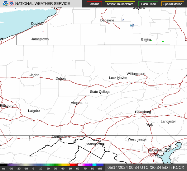
Current Radar Image
| Pennsylvania State Summary |
of upper and lower values of current conditions amongst 41 locations
in Pennsylvania |
|
High
Temp |
66° |
Philadelphia/Wings
and 3 other locations
|
|
Low
Temp |
52° |
Bedford
and 2 other locations
|
|
Wind
Speed |
10mph |
Erie
and 1 other location
|
|
High
Pressure |
30.03Hg |
Hazleton
|
|
|
|
| Average temperature in Pennsylvania |
59° |
|
# Locations Reporting MVFR
(Marginal Visual Flight Rules) |
1 |
|
# Locations Reporting VFR
(Visual Flight Rules) |
40 |
|
Pennsylvania's Current Temperatures
 Pennsylvania's Satellite Image
 Pennsylvania's Current Wind Direction
| National Summary |
of upper and lower values of current conditions amongst 6917 locations
in the contiguous United States |
|
High
Temp |
81° |
Zapata Cnty A/P, Texas
and 1 other location
|
|
Low
Temp |
5° |
Yellowstone, Wyoming
|
|
Wind
Speed |
43mph |
Llano, Texas
and 1 other location
|
|
Wind
Gust |
64mph |
Llano, Texas
|
|
Wind
Chill |
4° |
Dubois Municipal, Wyoming
and 1 other location
|
|
High
Pressure |
30.65Hg |
Charlie, Montana
|
|
Low
Pressure |
29.61Hg |
Lacon/Marshall County, Illinois
and 1 other location
|
|
| # Locations Reporting Snow |
107 |
|
| # Locations Reporting Rain |
112 |
|
| # Locations Reporting Thunderstorms / Lightning |
22 |
|
| # Locations Reporting Fog |
12 |
|
| Average Temperature in the Contiguous USA |
54° |
|
Any use of the information on this page is at your own risk. This information should not be relied upon in life-threatening situations, potential financial loss situations or in lieu of any officially disseminated information. Visit the
National Weather Service for official information.