East Sahuarita, Arizona Weather
No Watches or Warnings for East Sahuarita
Issued: 3:09 am MST Jan 27, 2026 Latitude: 31.9428601 Longitude: -110.9284228 View on Google Maps
|
|
|
|
|
|
|
|
|
|
 |
 |
 |
 |
|
|
|
|
| High: °F |
Low: °F |
High: °F |
High: °F |
High: °F |
High: °F |
High: °F |
High: °F |
| Low: °F |
Low: °F |
Low: °F |
Low: °F |
Low: °F |
|
| Sunny |
Increasing Clouds |
Partly Sunny |
Mostly Sunny |
Sunny |
Sunny |
Mostly Sunny |
Mostly Sunny |
Current Conditions at
TUCSON - (KTUS)
Clear
as of 4:53 AM MST
Rel. Humidity: 29%
Dew Point: 19°F
Visibility: 10 Miles
Pressure: 30.23 in.
Flight Rule: VFR
Cloud Level(s): Clear
Current Conditions at
DAVIS-MONTHAN AFB - (KDMA)
Clear
as of 4:55 AM MST
Rel. Humidity: 34%
Dew Point: 21°F
Visibility: 10 Miles
Pressure: 30.22 in.
Flight Rule: VFR
Wind Data
10 MPH
120° Southeast
Cloud Level(s): Clear
Current Conditions at
NOGALES INTERNATNL - (KOLS)
37°
Clear
as of 4:54 AM MST
Rel. Humidity: 64%
Dew Point: 27°F
Visibility: 10 Miles
Pressure: 30.23 in.
Flight Rule: VFR
Wind Data
3 MPH
060° Northeast
Cloud Level(s): Clear
Current Conditions at
FT HUACHUCA - (KFHU)
34°
Clear
as of 4:55 AM MST
Rel. Humidity: 80%
Dew Point: 28°F
Visibility: 9 Miles
Pressure: 30.28 in.
Flight Rule: VFR
Cloud Level(s): Clear
|
Today... Sunny, with a high near 68. Southeast wind 6 to 8 mph becoming east northeast in the afternoon. |
|
|
Tonight... Increasing clouds, with a low around 39. East wind around 6 mph. |
|
|
Wednesday... Partly sunny, with a high near 72. South southeast wind around 6 mph becoming light and variable in the afternoon. |
|
|
Wednesday Night... Mostly cloudy, with a low around 43. Light and variable wind. |
|
|
Thursday... Mostly sunny, with a high near 71. Calm wind becoming north northwest around 6 mph in the afternoon. |
|
 |
Thursday Night... Clear, with a low around 37. |
|
|
Friday... Sunny, with a high near 71. |
|
|
Friday Night... Clear, with a low around 40. |
|
|
Saturday... Sunny, with a high near 73. |
|
 |
Saturday Night... Partly cloudy, with a low around 42. |
|
|
Sunday... Mostly sunny, with a high near 74. |
|
|
Sunday Night... Partly cloudy, with a low around 43. |
|
|
Monday... Mostly sunny, with a high near 74. |
|
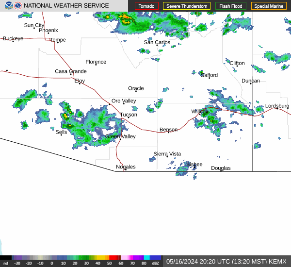
Current Radar Image
Sun Almanac for East Sahuarita, Arizona
Sunrise: 07:20 AM
Sunset: 5:53 PM
Civil Sunrise:06:54 AM
Civil Sunset: 6:19 PM
Nautical Sunrise: 06:25 AM
Nautical Sunset: 6:48 PM
Astro Sunrise: 05:56 AM
Astro Sunset: 7:17 PM
Arizona's Current Temperatures
 Arizona's Satellite Image
 Arizona's Current Wind Direction
| National Summary |
of upper and lower values of current conditions amongst 7088 locations
in the contiguous United States |
|
High
Temp |
59° |
Keathley C 875, Louisiana
|
|
Low
Temp |
-17° |
Gunnison, Colorado
|
|
Wind
Speed |
41mph |
Berthoud Pass, Colorado
|
|
Wind
Gust |
60mph |
Berthoud Pass, Colorado
|
|
Wind
Chill |
-34° |
Grand Marais, Minnesota
|
|
High
Pressure |
30.64Hg |
Orange, Texas
and 2 other locations
|
|
Low
Pressure |
29.61Hg |
Otsego County Arpt, Michigan
|
|
| # Locations Reporting Snow |
70 |
|
| # Locations Reporting Rain |
1 |
|
| # Locations Reporting Thunderstorms / Lightning |
1 |
|
| # Locations Reporting Fog |
14 |
|
| Average Temperature in the Contiguous USA |
16° |
|
Any use of the information on this page is at your own risk. This information should not be relied upon in life-threatening situations, potential financial loss situations or in lieu of any officially disseminated information. Visit the
National Weather Service for official information.