Durfee Crossing, Arizona Weather
Current Conditions at
WINSLOW - (KINW)
63°
Clear
as of 11:56 AM MST
Rel. Humidity: 12%
Dew Point: 10°F
Visibility: 10 Miles
Pressure: 30.21 in.
Flight Rule: VFR
Cloud Level(s): Clear
Current Conditions at
SHOW LOW - (KSOW)
55°
Clear
as of 11:55 AM MST
Rel. Humidity: 16%
Dew Point: 10°F
Visibility: 10 Miles
Pressure: 30.23 in.
Flight Rule: VFR
Wind Data
8 MPH
Gust: 17 MPH
010° North
Cloud Level(s): Clear
Current Conditions at
FLAGSTAFF - (KFLG)
55°
Clear
as of 11:57 AM MST
Rel. Humidity: 24%
Dew Point: 19°F
Visibility: 10 Miles
Pressure: 30.24 in.
Flight Rule: VFR
Wind Data
20 MPH
Gust: 31 MPH
060° Northeast
Cloud Level(s): Clear
Current Conditions at
PRESCOTT - (KPRC)
70°
Clear
as of 11:53 AM MST
Rel. Humidity: 19%
Dew Point: 27°F
Visibility: 10 Miles
Pressure: 30.15 in.
Flight Rule: VFR
Wind Data
18 MPH
Gust: 25 MPH
350° North
Cloud Level(s): Clear
Moon Almanac for Durfee Crossing, Arizona
Moon Phase: Waning Crescent
Moon Illumination: 6%
Moon Age: 27.1 Days
Moon is currently above the horizon
Distance from Moon to Earth: 240,839 miles
Upcoming Lunar Events for
Durfee Crossing: |
| Next Event | Event Time | Illum |
|
|
|
| Moonset: | 07:20 pm Mon | 5.2% |
| Moonrise: | 08:45 am Tue | 2.8% |
| High Moon: | 02:31 pm Tue | 2.0% |
| Moonset: | 08:25 pm Tue | 1.3% |
 | New Moon: Tue Feb 17 |
 | First Quarter: Tue Feb 24 |
 | Full Moon: Tue Mar 3 |
 | Last Quarter: Wed Mar 11 |
| New Moon: Wed Mar 18 |
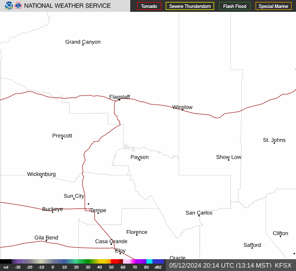
Current Radar Image
| Arizona State Summary |
of upper and lower values of current conditions amongst 37 locations
in Arizona |
|
High
Temp |
91° |
Laguna (Aaf)
|
|
Low
Temp |
55° |
Show Low
and 3 other locations
|
|
Wind
Speed |
35mph |
Bullhead City
|
|
Wind
Gust |
41mph |
Bullhead City
|
|
High
Pressure |
30.26Hg |
Grand Canyon
|
|
Low
Pressure |
29.92Hg |
Glendale
|
|
| Average temperature in Arizona |
74° |
|
# Locations Reporting VFR
(Visual Flight Rules) |
37 |
|
Arizona's Current Temperatures
 Arizona's Satellite Image
 Arizona's Current Wind Direction
| National Summary |
of upper and lower values of current conditions amongst 5902 locations
in the contiguous United States |
|
High
Temp |
93° |
El Centro, California
and 2 other locations
|
|
Low
Temp |
5° |
Robertson Field, North Dakota
|
|
Wind
Speed |
38mph |
JacksonvilleNAS, Florida
|
|
Wind
Gust |
61mph |
JacksonvilleNAS, Florida
|
|
Wind
Chill |
-13° |
Detroit Lakes, Minnesota
and 2 other locations
|
|
Heat
Index |
94° |
North Perry Arpt, Florida
|
|
High
Pressure |
30.39Hg |
Spinks, Texas
and 3 other locations
|
|
Low
Pressure |
29.22Hg |
Fort Drum, New York
and 2 other locations
|
|
| # Locations Reporting Snow |
131 |
|
| # Locations Reporting Rain |
162 |
|
| # Locations Reporting Thunderstorms / Lightning |
20 |
|
| # Locations Reporting Fog |
25 |
|
| Average Temperature in the Contiguous USA |
46° |
|
Any use of the information on this page is at your own risk. This information should not be relied upon in life-threatening situations, potential financial loss situations or in lieu of any officially disseminated information. Visit the
National Weather Service for official information.